Geospatial Modeling Environment : A Complete Guide
Table of Contents
Introduction
Geospatial Modeling Environment is essential for interpreting geographical data, making it a valuable tool in fields such as environmental management, urban planning, and disaster management. This article delves into geospatial modeling, its methodologies, prominent software tools, and how organizations use it to make informed decisions.
What is Geospatial Modeling
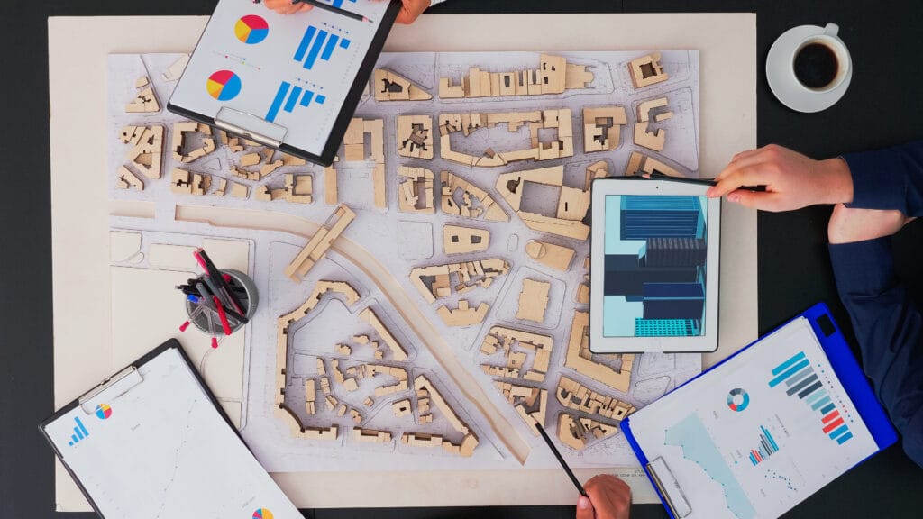
Geospatial modeling is the application of mathematical and computational approaches to represent, simulate, and evaluate geographical phenomena. Analysts can forecast future scenarios, examine spatial feature correlations, and gain insights from complex spatial patterns by creating models that incorporate geographic data. These models combine information from sources such as satellite imagery, GPS data, and GIS layers to create a structured representation of the natural or built environment.
Importance of Geospatial Modeling Environment
Geospatial modeling is applied across various domains, including:
- Environmental Management: Monitoring and predicting environmental changes such as deforestation, urbanization, and natural disasters.
- Urban Planning: Supporting data-driven urban design, infrastructure planning, and efficient land use.
- Disaster Response: Providing real-time data and forecasts for natural disaster preparedness and response.
- Agriculture: Evaluating soil health, crop viability, and land use to optimize farming.
These models help governments, businesses, and researchers make informed decisions and enhance resource management.
Core Components of Geospatial Modeling
Understanding the fundamentals of geospatial modeling is critical for developing accurate and useful models. Key components include:
- Spatial Data: Data with a geographical component, often obtained from satellites, aerial images, GPS devices, or surveys.
- Mathematical Models: Equations and algorithms that represent spatial relationships, typically through statistical or predictive methods.
- GIS Software: Specialized applications such as ArcGIS, QGIS, and GRASS GIS that aid in processing, analyzing, and visualizing spatial data.
- Analytical Techniques: Techniques like spatial interpolation, network analysis, and geostatistics are prominent for analyzing and interpreting geographic data.
Types of Geospatial Modeling
- Deterministic Modeling: Predicts specific outcomes based on known inputs and relationships. For instance, deterministic models may examine soil erosion based on slope and rainfall without considering randomness.
- Stochastic Modeling: Incorporates randomness or uncertainty into the model. Stochastic models are used in fields where outcomes are variable, such as predicting traffic patterns.
- Agent-Based Modeling (ABM): Simulates interactions of individual agents (such as people or vehicles) within a system. ABM is valuable for modeling human behavior and population dynamics.
- Cellular Automata: Divides geographic space into a grid of cells that interact with each other. Cellular automata models are often used to simulate urban growth and land-use changes.
- Network Modeling: Focuses on spatial networks such as transportation or water distribution systems. It is useful for analyzing network flow, like traffic congestion or river drainage.
Geospatial Modeling Techniques
- Spatial Interpolation: Estimates unknown values at specific locations based on known data points. Often used in climate modeling and environmental science.
- Raster Modeling: Represents geographic data as a grid of cells, each containing a value that indicates a specific variable (e.g., elevation, temperature). Raster models are commonly used in remote sensing.
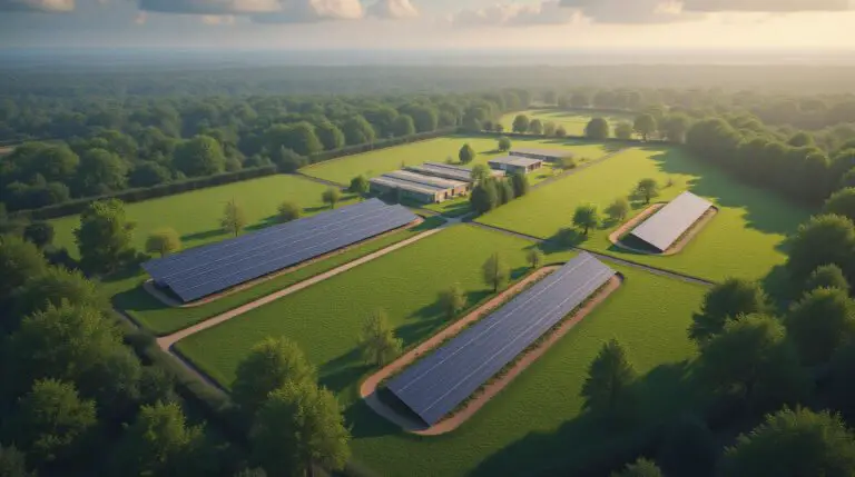
- 3D Modeling: Builds three-dimensional representations of landscapes and urban areas. Used in architectural design, urban planning, and environmental monitoring.
- Geostatistical Modeling: Applies statistical methods to spatial data, commonly used to analyze environmental data like pollution levels or soil health.
- Simulation Modeling: Predicts future scenarios by modeling various parameters. Simulation models are popular in disaster management and climate change research.
Popular Geospatial Modeling Tools
- ArcGIS: A comprehensive GIS platform that supports geospatial modeling, spatial analysis, and data visualization. It offers tools for 3D modeling, spatial interpolation, and network analysis.
- QGIS: An open-source GIS program that includes plugins for geospatial modeling, such as GRASS GIS. QGIS is widely used for its versatility, affordability, and extensive plugin library.
- GRASS GIS: Known for its powerful geostatistical and raster analysis capabilities, GRASS GIS is ideal for environmental and agricultural modeling.
- SAGA GIS: Specializes in raster data processing and geostatistics. SAGA GIS provides robust tools for hydrological, climate, and terrain analysis.
- ENVI: Primarily used for remote sensing applications, ENVI is widely applied in analyzing satellite and aerial images for environmental monitoring.
- Google Earth Engine: A cloud-based platform for analyzing large-scale geospatial data. Its vast collection of satellite imagery is particularly useful for environmental monitoring and climate prediction.
Applications of Geospatial Modeling
- Environmental Monitoring and Management: Geospatial models help monitor environmental changes, predict the effects of deforestation, and assess ecosystem health. For example, models can simulate soil erosion rates to determine land management strategies.
- Urban Planning and Development: City planners use geospatial models to design efficient infrastructure, optimize land use, and create sustainable urban spaces. These models support informed decisions on where to build roads, parks, and buildings.
- Disaster Management: Geospatial models are essential for disaster preparedness and response. They can simulate flood zones, wildfire spread, and storm paths, aiding in evacuation planning and emergency response strategies.
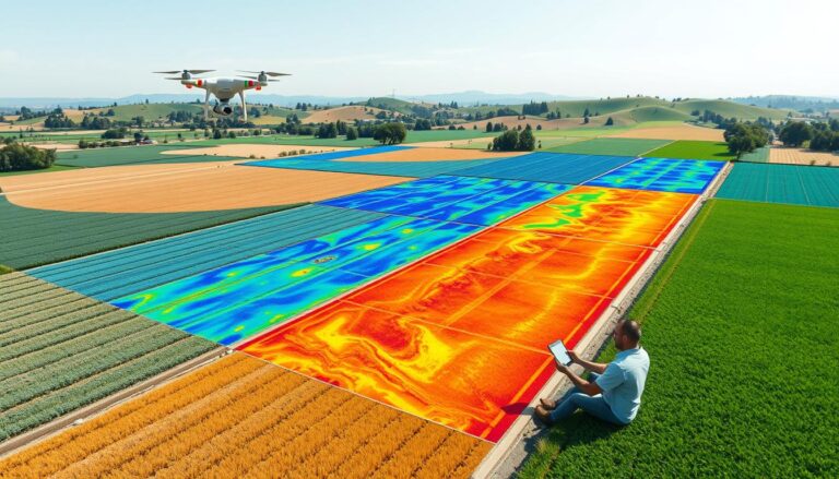
- Agricultural Optimization: In agriculture, geospatial models assist in crop monitoring, soil analysis, and water resource management. They help farmers optimize planting schedules, detect disease outbreaks, and improve yield predictions.
- Climate Change Analysis: Geospatial models provide insights into climate patterns, temperature changes, and their impact on ecosystems. These models assist scientists in predicting future climate scenarios and assessing the effects of global warming.
- Health and Disease Tracking: Geospatial modeling is also applied in public health to track disease spread, especially during epidemics and pandemics. Models can map hotspots and track transmission patterns.
The Future of Geospatial Modeling
As technology advances, geospatial modeling will become even more integrated into decision-making across sectors. The combination of artificial intelligence and machine learning with geospatial modeling enables new applications, such as predictive analytics, automated data processing, and real-time monitoring. Cloud-based solutions like Google Earth Engine simplify processing massive datasets, democratizing access to powerful geospatial tools.
Challenges in Geospatial Modeling
- Data Quality and Availability: Reliable geospatial models require high-quality, up-to-date data, which may not be available in some regions.
- Complexity and Expertise: Building accurate geospatial models requires technical expertise in GIS and statistics.
- Computational Power: Some geospatial models, especially those involving large datasets, require substantial computational resources.
- Uncertainty and Validation: Model outputs are only as reliable as the assumptions and data they are based on, requiring careful validation and interpretation.
Conclusion
Geospatial modeling environment is a transformative approach to understanding complex spatial relationships and predicting future scenarios. Whether used in environmental management, urban planning, agriculture, or disaster response, these models provide decision-makers with actionable insights. As technology and data availability continue to improve, geospatial modeling will play an increasingly crucial role in addressing global challenges and enhancing quality of life across diverse fields.




One Comment