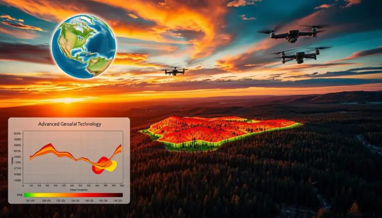
Leveraging Geospatial Tech & AI for Wildfire Prevention and Forecasting
Geospatial technology is key in stopping and predicting wildfires in Los Angeles. When paired with AI, it boosts these efforts. This combo helps authorities predict and prevent wildfires more accurately. Los Angeles uses advanced tech like geographic information systems and remote sensing. These tools help understand wildfire risks and prevent them. This is vital for…