


GIS and Spatial Analysis 🌎
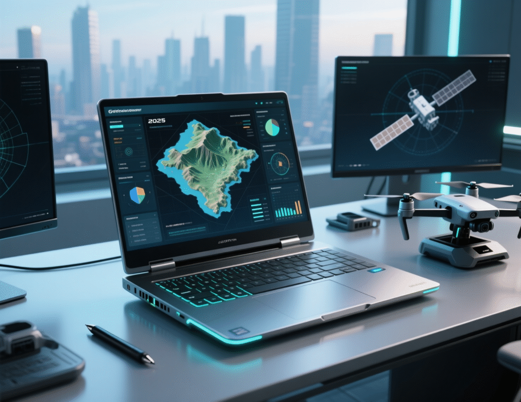
Which Laptop Brand Is the Most Reliable in 2025
In today’s digitally driven world, your laptop is more than just a tool—it’s the engine behind your productivity, creativity, and ...
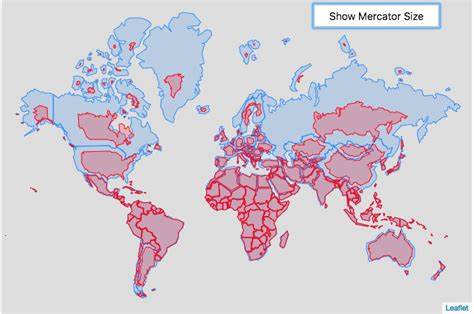
Cartographic Mercator Projection vs Real Size of Countries
The Mercator Projection: A Useful but Flawed Map The Mercator projection, created by Gerardus Mercator in 1569, became the standard ...
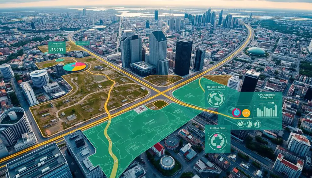
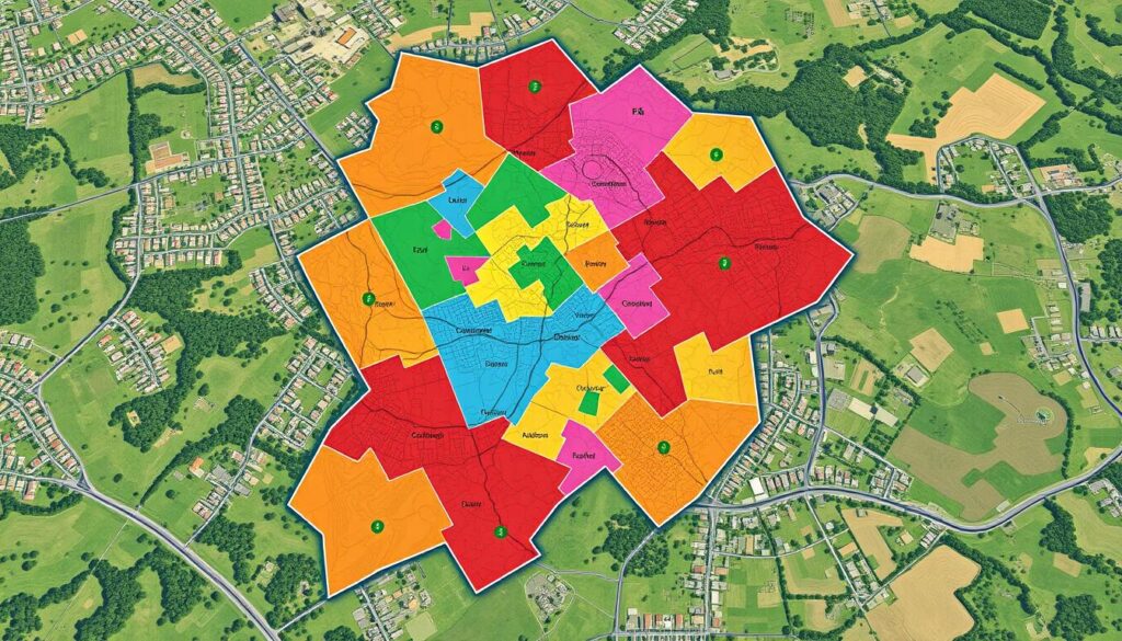
GIS for Solid Waste Management
In the world of urban planning and city operations, Geographic Information Systems (GIS) play a key role. They help make ...

Integrating GIS and Machine Learning for Predictions
In today's world, combining Geographic Information Systems (GIS) and Machine Learning (ML) is key. This mix uses GIS's data management ...

Optimizing Supply Chains with GIS
In today's business world, making supply chains efficient is key to success. Geographic Information Systems (GIS) has changed how companies ...

Enhancing Transportation Networks with GIS
In today's fast-changing cities, we need better and greener ways to move around. Cities are getting bigger and facing problems ...
Detecting Oil Spills Using GIS
Geographic Information Systems (GIS) play a key role in fighting environmental challenges. They help detect and manage oil spills. GIS ...
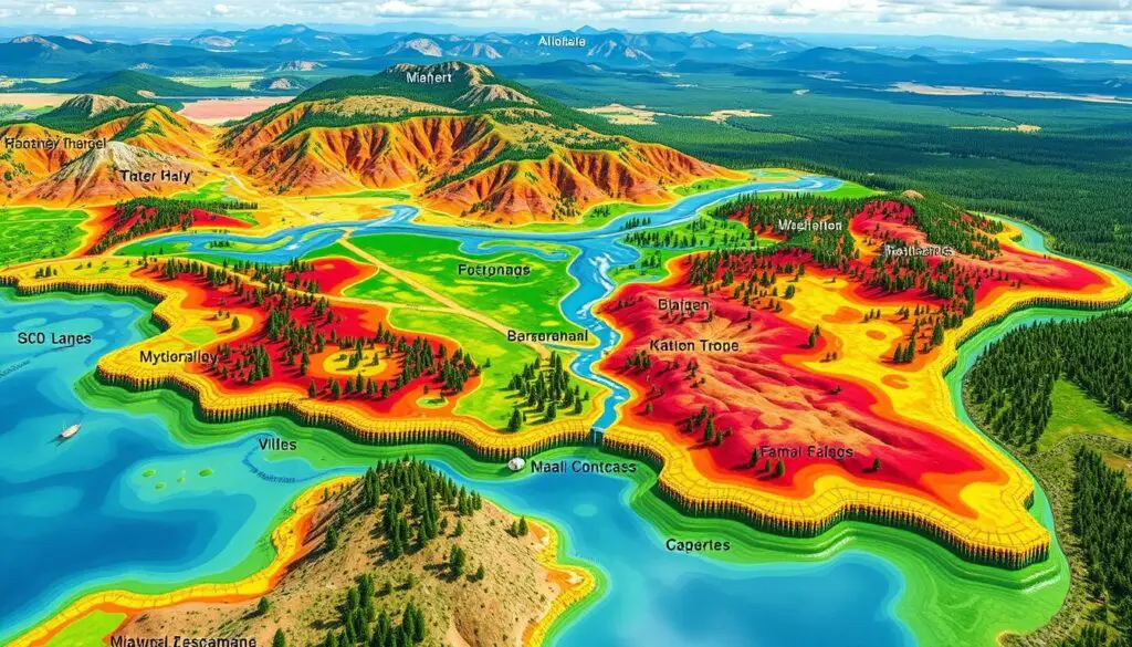
Using GIS for Environmental Impact Assessment
Geographic Information Systems (GIS) have changed the way we do Environmental Impact Assessments (EIA). GIS tools help us understand the ...

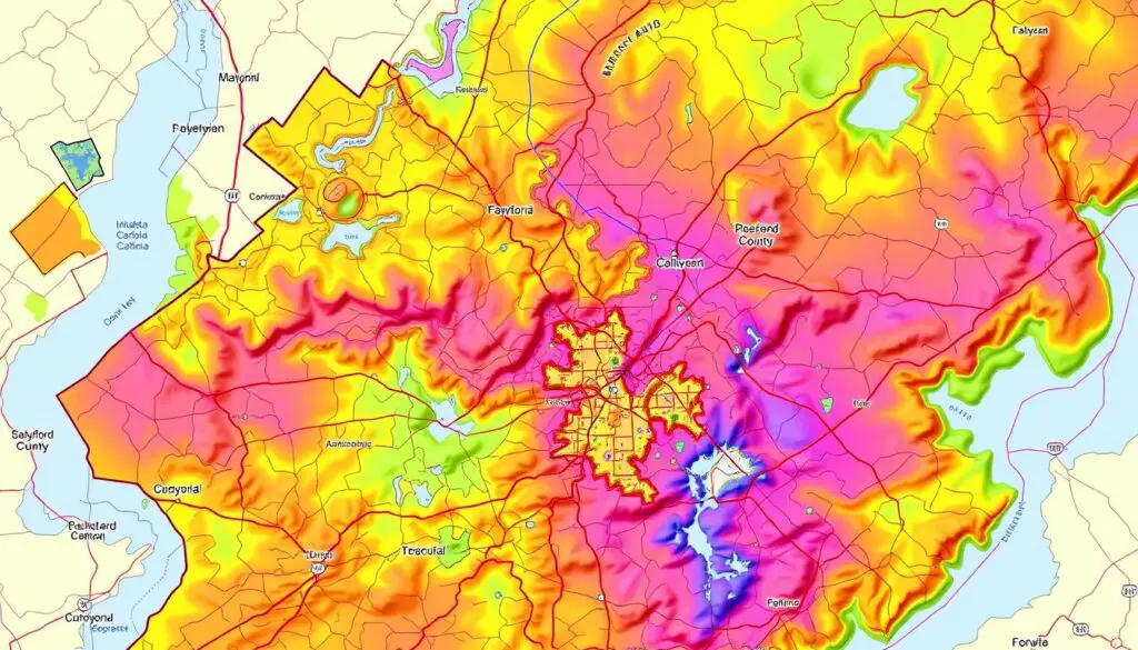
Crime Pattern Analysis with GIS Tools
In today's world, Geographic Information Systems (GIS) have changed how we look at crime. GIS tools help law enforcement and ...
Geospatial Datasets 🗺

Download World Oceans in Shapefile, GeoJSON and KML Format
The world’s oceans cover more than 70% of the Earth’s surface, playing a critical role in regulating climate, supporting biodiversity, ...
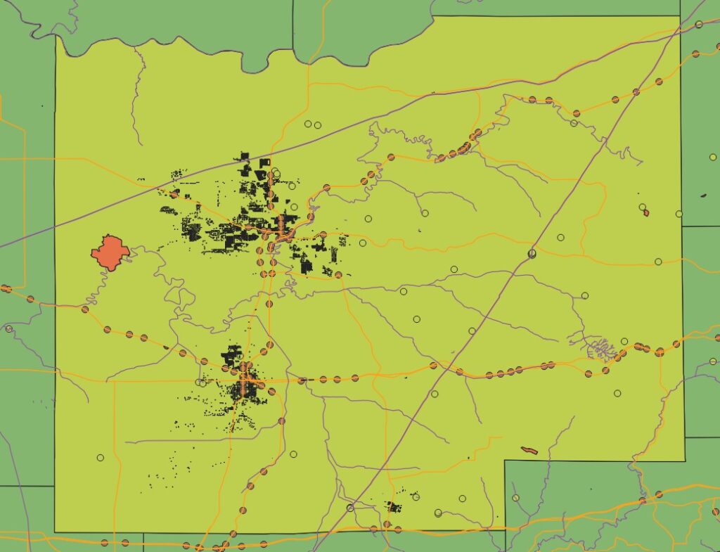
Dubois County GIS Data Updated
The Dubois County GIS Map & Property Search is an interactive map. It was developed by WTH Technology, Inc. and ...
Explore Guilford County GIS Data
The Guilford County GIS website makes it easy to search for properties. It's great for real estate pros, lawyers, or ...
Catawba County GIS DATA
Key TakeawaysDownload Catawba County GIS DATA 2025Navigation ToolsLayer ControlsSearch FunctionsProperty BoundariesDeed Research The Catawba County GIS portal offers a wide ...
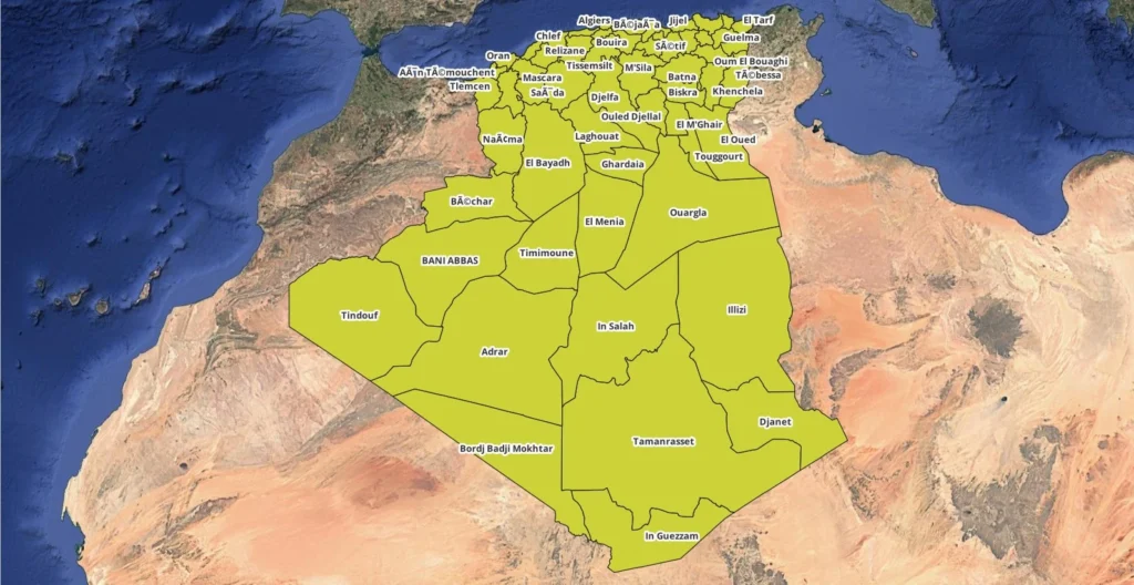
Algeria Regions Shapefile for Download
Resource If you're working with Geographic Information Systems (GIS) and need to analyze Algeria Regions shapefile, a shapefile of the ...
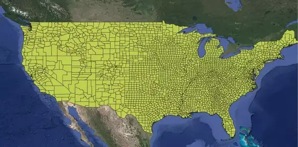
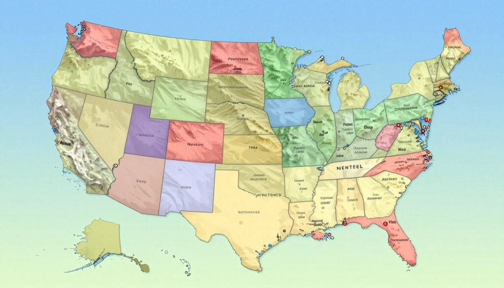
US Counties Shapefile and US States shapefile
For GIS professionals, researchers, and data analysts, a US counties shapefile and States shapefile is an essential tool for spatial ...
Surveying Equipements 📡📐

Top Solar-Powered Charging Devices for Field Workers
Field workers often struggle to keep their devices charged, mainly in areas far from power. Portable solar chargers are a ...
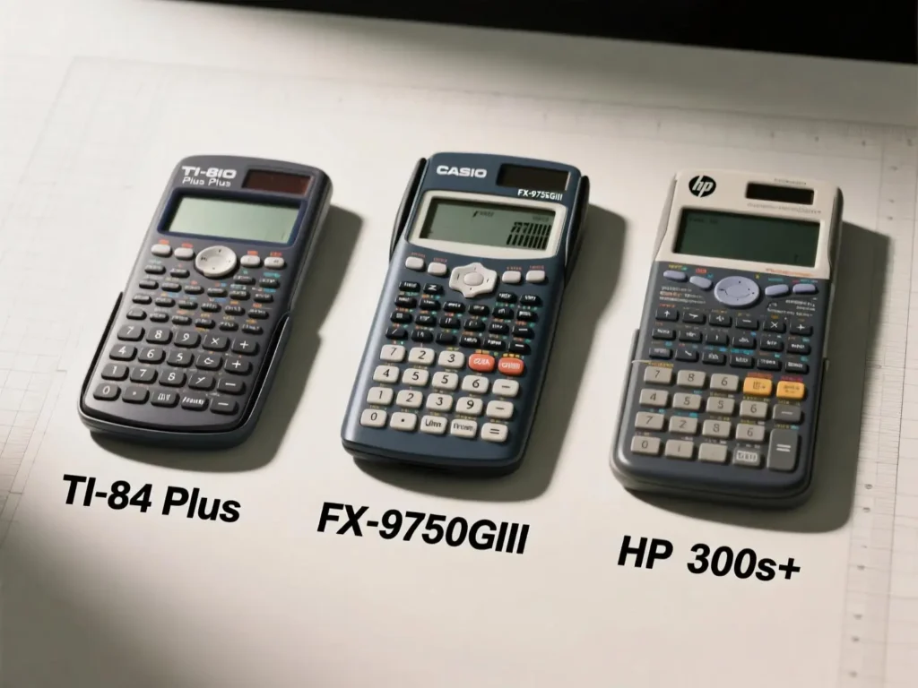
Scientific Calculators for Surveyors: Comparing the TI-84 Plus, CASIO FX-9750GIII, and HP 300s+
In the world of land surveying, precision, speed, and reliability are non-negotiable. Whether you're calculating angles, distances, coordinates, or performing ...
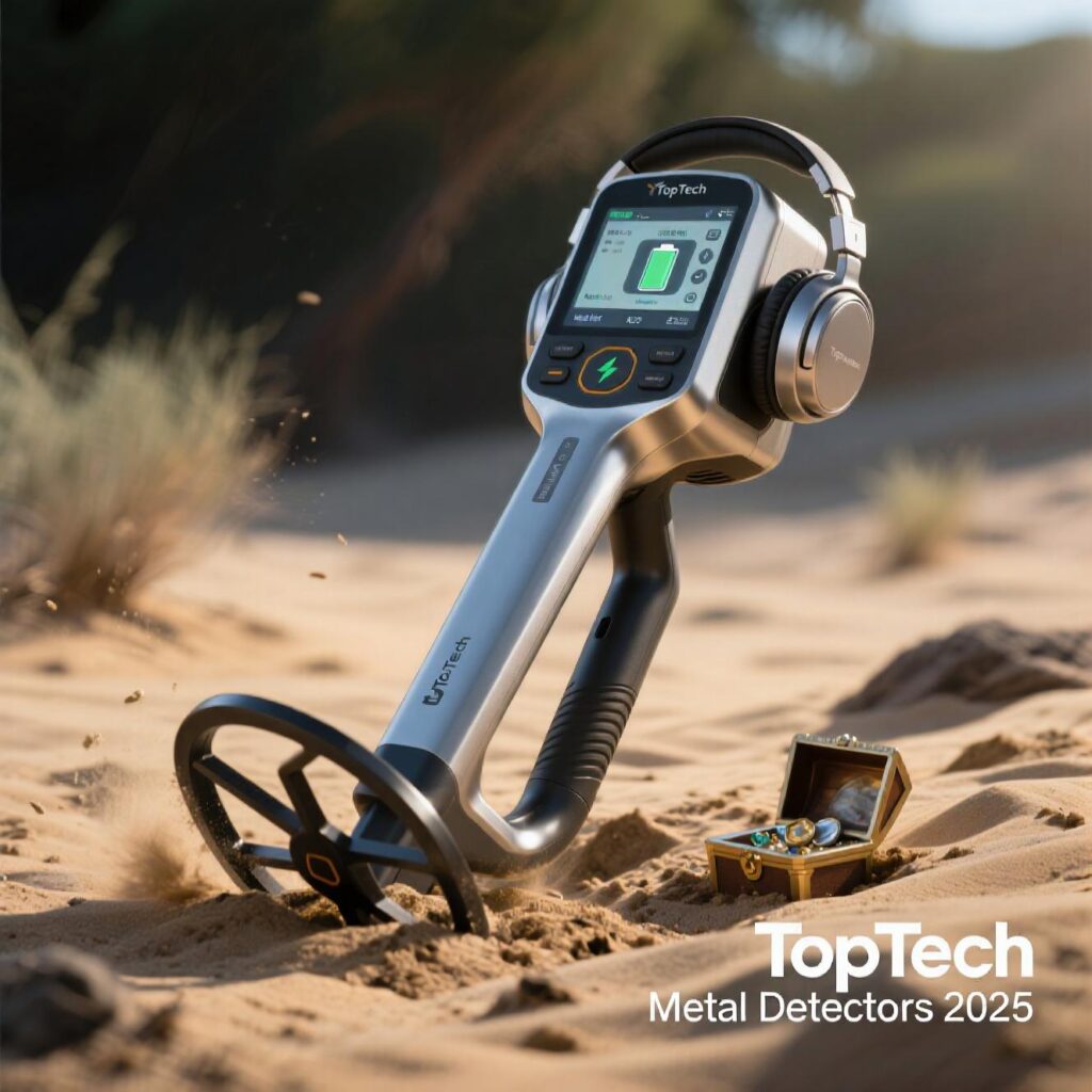
The Best Metal Detector in 2025 – Top Picks
Imagine this: a weekend warrior walking along a windswept beach in Florida, sweeping a metal detector across the sand, when ...

Cutting Edge Ground Penetrating Radar GPR 2025
Have you ever wondered what lies beneath your feet? Whether you're a construction foreman preparing a job site, an archaeologist ...

Top Satellite Phones in 2025: Reviews and Recommendations
In an age where we’re constantly connected—streaming videos, video-calling across continents, and navigating with GPS—it’s easy to forget how fragile ...
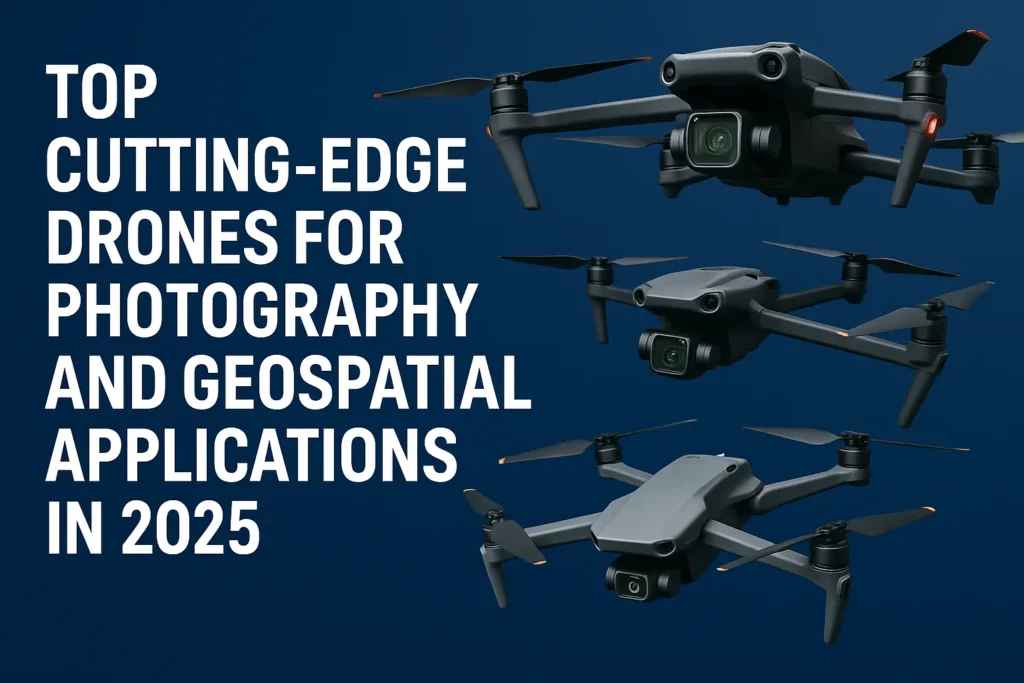
Cutting-Edge Drones for Photography and Geospatial Applications 2025
Introduction The drone industry has undergone a seismic transformation, evolving from simple remote-controlled gadgets to sophisticated aerial platforms equipped with ...
Remote Sensing 🛰
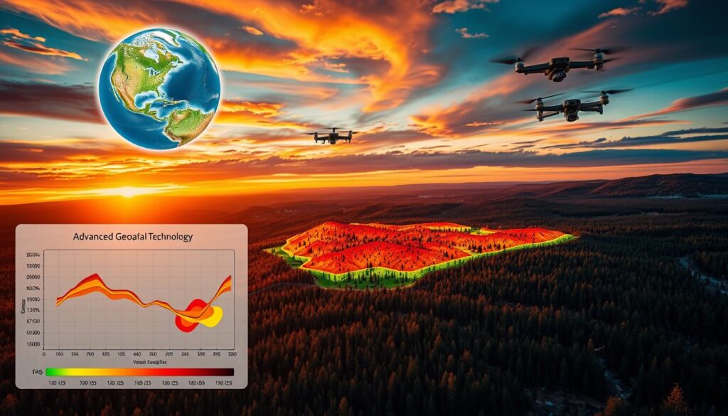
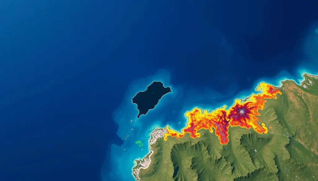
Leveraging Geospatial Tech & AI for Wildfire Prevention and Forecasting
Geospatial technology is key in stopping and predicting wildfires in Los Angeles. When paired with AI, it boosts these efforts ...

Mapping Urban Vegetation with Remote Sensing
Remote sensing technology is key in mapping urban vegetation. It helps city planners and experts make cities better and greener ...

Monitoring Soil Moisture with Remote Sensing
In today's world, knowing the moisture level in soil is key for farming and caring for our environment. Remote sensing ...
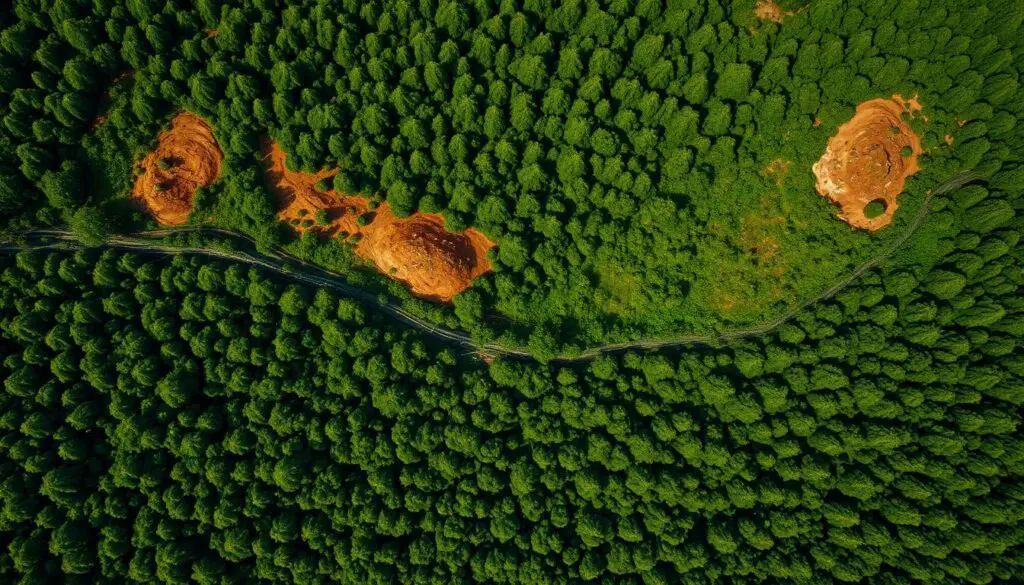
Monitoring Deforestation Trends with Remote Sensing
Deforestation is a big problem, causing a lot of harm to our planet. It's making our forests disappear at an ...
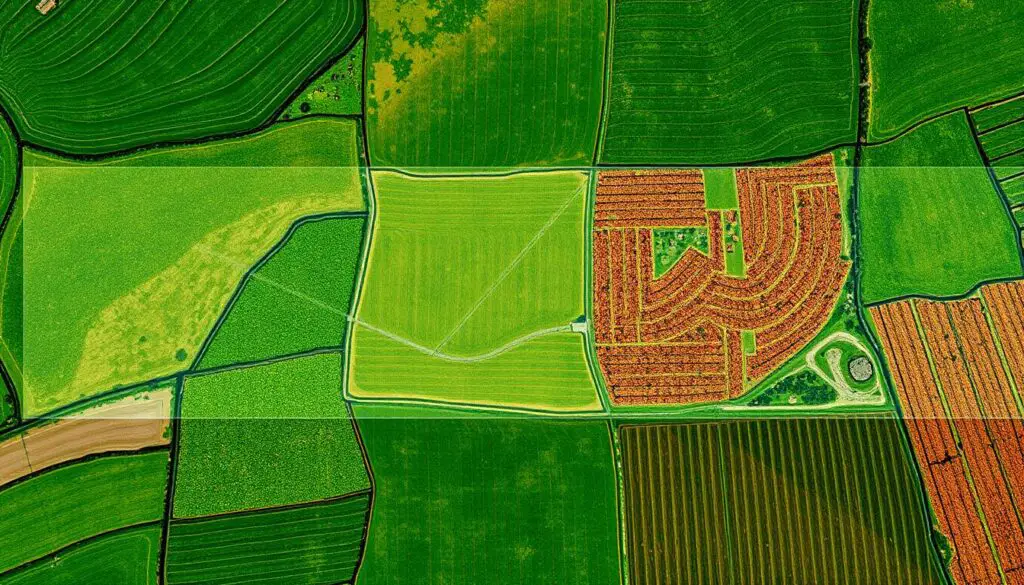
Remote Sensing for Crop Disease Monitoring
In today's agriculture, keeping crops healthy is key. Remote sensing is a game-changer. It uses satellite images, aerial photos, and ...
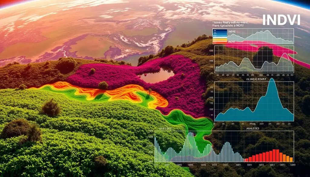
INDVI Estimation using Google Earth Engine
The Normalized Difference Vegetation Index (NDVI) is a key tool in remote sensing. It helps us understand vegetation health and ...
Geospatial Artificial Intelligence - 🛰🌎GeoAI-
GeoAI for Smart Water Conservation – Usage Monitoring
GeoAI for Smart Water Conservation: How Usage Monitoring Powers Effective Water Management Water scarcity is a pressing global issue, and ...
AI in Geospatial Data Interpolation – Spatial Prediction
AI in Geospatial Data Interpolation: Spatial Prediction The world of geospatial data, with its vast amount of information about our ...

GeoAI for Smart Energy Grids – Load Balancing
GeoAI for Smart Energy Grids: Load Balancing In today's world, smart grids play a crucial role in ensuring sustainable and ...
AI for Geospatial Data Filtering – Noise Removal
AI for Geospatial Data Filtering – Noise Removal Introduction Geospatial data is increasingly vital for decision-making in various fields, from ...

GeoAI for Smart Urban Planning – Green Space Allocation
GeoAI for Smart Urban Planning: Green Space Allocation As urban populations swell and climate change becomes more pressing, the need ...
AI in Geospatial Data Sampling – Efficient Analysis
Harnessing AI for Efficient Geospatial Data Sampling The field of geospatial analysis is experiencing a transformative shift toward efficient and ...
US County and ZIP Code Maps 🔎🌎
Interactive US Map with States and Capitales 2026
In today's digital world, visualizing geographical data is key. An interactive map of the US, with states and capitals, is ...

Find Complete In-N-Out Burger Locations (Download the Complete List)
If you've ever driven across the western United States, chances are you’ve seen the iconic red-and-yellow glow of an In-N-Out ...
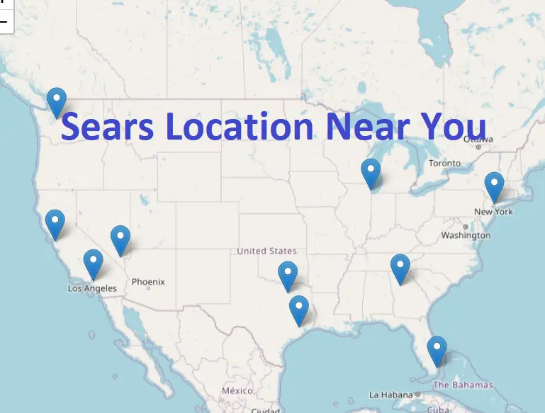
Find Sears Near Me Locations: Interactive Map, List of Stores 2025
Sears has been a well-known American retail chain for decades, offering a wide range of products, from appliances and tools ...
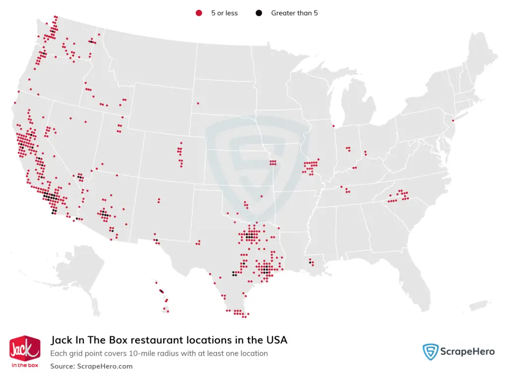
Jack in the Box Near me: Locations Map, List of stores available
Jack in the Box is one of America’s most iconic fast-food chains, known for its quirky branding, diverse menu, and ...
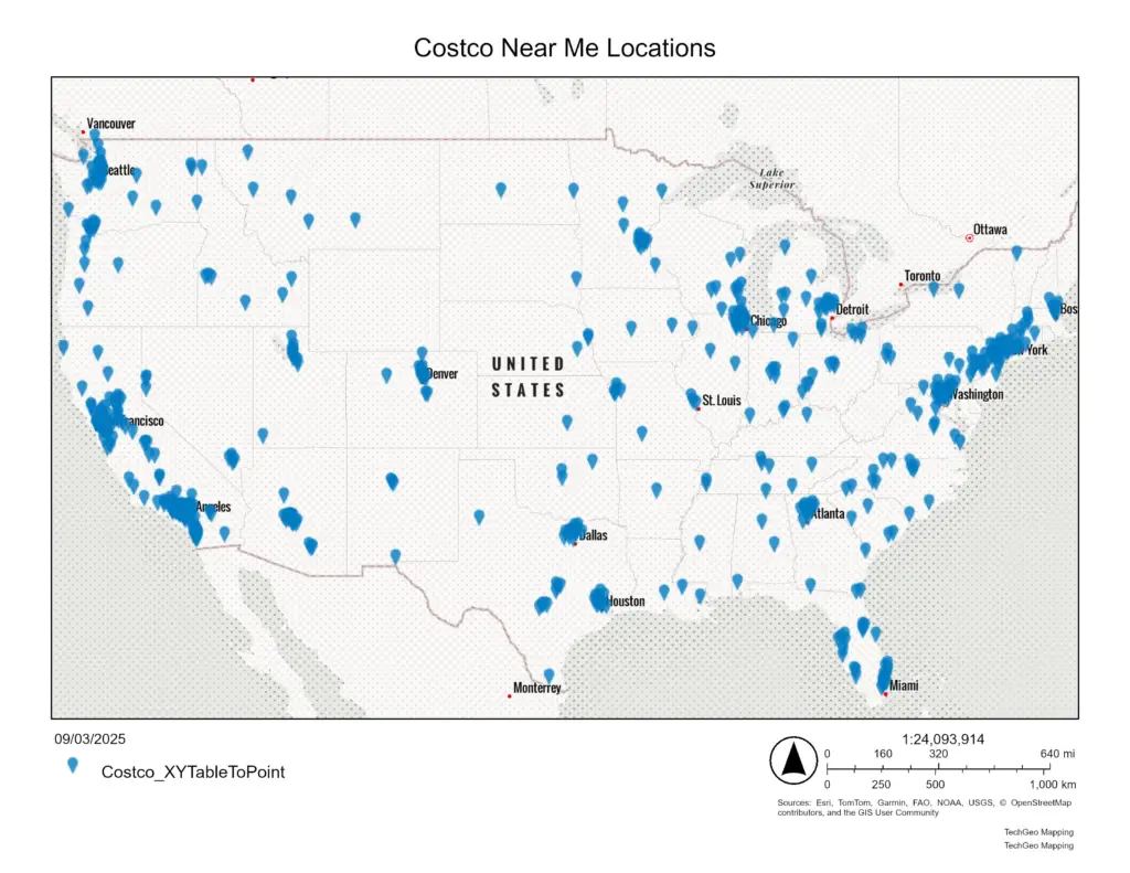
Costco Near Me Location Map of All 612 Costco Stores
Costco Locations Map Created using ESRI Plateforme Introduction Finding Costco Near me became easy using mapping tools. Costco is one ...
Zion County GIS: Your Go-To Resource
Zion County GIS: Your Go-To Resource Zion County GIS: Your Go-To Resource Welcome to the ultimate guide to Zion County ...