
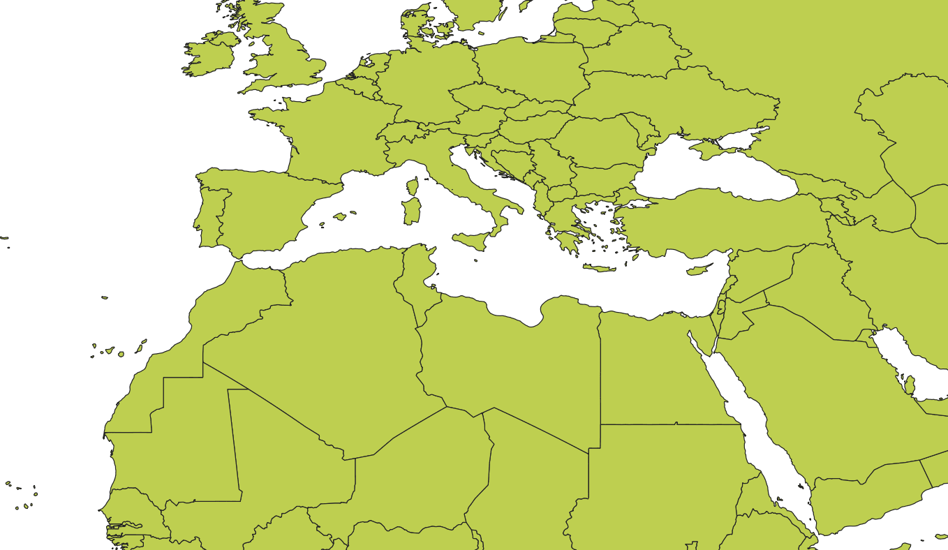
Download World Map Shapefile, GeoJSON and KML Format free

Accurate and easily accessible data is essential for GIS professionals and enthusiasts alike. We’re thrilled to provide free access to global country boundaries in two popular file formats: World Map Shapefile (.shp) and KML (.kml). These datasets are ideal for anyone working in mapping, spatial analysis, urban planning, environmental studies, and related fields.
Download World Map ShapeFile, Kml, Geojson
Subscribe to our Newsletter (TechGeo Mapping) 🔽🔽🔽
Here is the Download Link (Direct Links)
🔹 World Boundaries (KML):
🔹 World Boundaries (SHP):
🔹 World Boundaries (GEOJSON) :
Why Download World Boundaries Data ?
Understanding global geography is fundamental across industries. World boundary data is commonly used for:
- Creating Thematic Maps: Generate maps that depict various data attributes across countries, such as population density, climate zones, and economic indicators.
- Spatial Analysis: Conduct analyses like proximity, overlays, or network studies.
- Educational and Research Projects: Beneficial for projects involving geography, environmental science, and international relations.
- App Development: Integrate boundary data into applications for mapping, travel, weather, and navigation.
Available Formats
We offer two widely-used formats to accommodate various software and analysis preferences:
- Shapefile (.shp)
The Shapefile format is ideal for professionals using GIS software like ArcGIS, QGIS, or GRASS GIS. Shapefiles are compatible with most GIS platforms and enable efficient spatial analyses and visualizations. A Shapefile download typically includes multiple components, such as.shp,.shx, and.dbffiles, which contain geometry, index, and attribute data, respectively. - KML (.kml)
The KML format is ideal for web-based mapping systems and applications, like Google Earth and Google Maps. This XML-based format provides a versatile, easy-to-use, and shareable solution for boundary data. - GeoJSON (.GeoJSON): GIS file format for encoding geographic data structures using JavaScript Object Notation (JSON). It represents simple geographical features like points, lines, and polygons, along with their attributes. Widely used in web mapping and GIS applications, GeoJSON supports features such as coordinates in latitude and longitude, making it easy to integrate with mapping libraries like Leaflet and OpenLayers.
How to Download
We’ve made the process simple. Go to our Downloads section and select the file type you need—either Shapefile or KML. Both file types are compressed in .zip files, allowing for fast and secure downloads. Once downloaded, extract the files to use them in your GIS software or mapping application.
Quick Guide to Importing Your Downloaded Files
For Shapefiles:
- Launch your GIS software (such as QGIS or ArcGIS).
- Navigate to the “Add Layer” menu and select “Add Vector Layer”.
- Locate your downloaded
.shpfile, select it, and load it onto the map.
For KML Files:
- Open your mapping tool or software (such as Google Earth).
- Go to the “File” menu and choose “Open” or “Import”.
- Select your
.kmlfile and import it into the application.
Frequently Asked Questions (FAQ)
- Is the data up-to-date?
Yes, we strive to keep our data accurate and current. - Can I use this data for commercial projects?
Yes, our data is free to download and can be used for both personal and commercial purposes. - Are there any restrictions on sharing the data?
You are welcome to share the data, but please credit our website as the source.
Begin Downloading Your Free World Boundaries Data!
We are committed to making essential geospatial data accessible to everyone. Visit our Downloads page to access these world boundaries files, and let us know how you’re using them. Whether it’s for a large-scale project or a small research task, we’re excited to support your work with reliable and free geospatial data.
Access our Downloads section to acquire the World Map ShapeFile or KML format. These compressed .zip files ensure quick and secure downloads. Extract the files post-download for use in your GIS software or mapping application. Explore the Downloads section to obtain the World Map ShapeFile or KML format. The zipped files guarantee speedy and secure downloads. Unzip the files after downloading to utilize them in your GIS software or mapping application. If you have any queries or need assistance, refer to the Frequently Asked Questions (FAQ) section. We are dedicated to providing geospatial data for all your projects, big or small.


5 Comments