Monitoring Land Use with GIS
In today’s fast-paced world, knowing how land is used is key for a sustainable future. Geographic Information Systems (GIS) are a powerful tool for tracking these changes. They use data, satellite images, and advanced methods to show how land use evolves.
This article looks at how GIS helps in tracking land use. It shows its importance in managing the environment and planning cities. We’ll see how GIS changes our understanding and management of both natural and built spaces.
Key Takeaways
- GIS technology plays a crucial role in monitoring and analyzing land use changes across diverse landscapes.
- Understanding the dynamics of land use is essential for sustainable development, urban planning, and environmental conservation.
- Integrating spatial data, satellite imagery, and advanced analytical techniques, GIS enables the precise tracking of land use and land cover patterns.
- GIS has evolved significantly, from its early beginnings to the cutting-edge tools and techniques available today.
- Continuous monitoring of land use changes through GIS provides valuable insights for informed decision-making and policy development.
Introduction to Land Use/Land Cover Change Detection
It’s key to grasp the changes in land use and land cover for good environmental management. Land use is how we use the land, like for farming, cities, or forests. Land cover is what the land looks like, like plants, water, or buildings. Watching these changes helps us see how human actions affect the environment.
Definition of Land Use and Land Cover
Land use and land cover are closely linked but different. Land use is about how we use the land, for reasons like money, society, and politics. Land cover is the physical look of the land, including nature like forests and water, and things made by humans like houses and roads.
Importance in Environmental Management
Keeping an eye on land use and land cover changes is vital for the environment. These shifts show how human actions change the natural world, like turning forests into farms or cities growing bigger. By tracking land use change and land cover, we can make better choices to protect the environment, support green practices, and keep natural resources safe for the future.
“Effective environmental management requires a deep understanding of the complex interactions between human land use and the natural landscape.”
The Role of GIS in Monitoring Land Use
Geographic Information Systems (GIS) are key in tracking land use. They help gather, analyze, and show spatial data. This gives us important insights into how land use and cover change over time.
Overview of Geographic Information Systems
GIS is a computer system that handles geographic data. It uses data from satellites, planes, and ground surveys to make detailed maps. This technology is vital for studying land use patterns and changes, helping with environmental and urban planning.
Historical Development of GIS Technologies
The start of GIS dates back to the 1960s. Back then, people were exploring how computers could map and analyze space. Since then, GIS has grown thanks to better remote sensing, data storage, and computers.
Today, GIS is used in many fields, like planning, resource management, and disaster response. The growth of GIS has seen important steps, like the creation of GIScience and web-based platforms. These have made spatial data and tools more accessible.
The role of geographic information systems in land use monitoring is now more important than ever. With advanced GIS tools and more spatial data, we can better understand and manage our planet’s changing landscape.
Types of Land Use Changes Detected by GIS
Geographic Information Systems (GIS) are powerful tools that help us see and study land use changes. These changes affect our environment and society. Let’s look at three main types of land use changes that GIS can track and monitor.
Urban Development
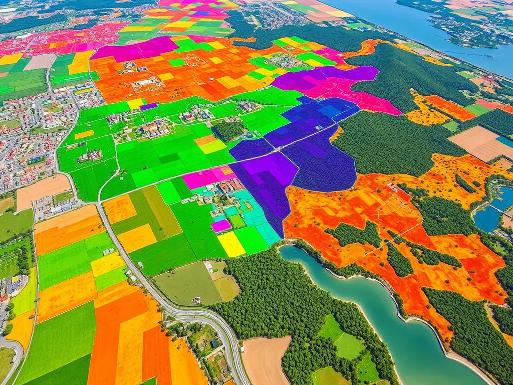
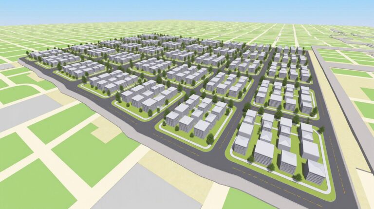
GIS tracks how cities grow and spread out. As more people move to cities, they take up land that was once natural or farmland. GIS maps this growth, helping city planners manage growth and protect the environment.
Agricultural Expansion
GIS also watches as more land is turned into farmland. With more people, we need more food, leading to forests and grasslands being cleared. GIS helps us see where this is happening, helping us find a balance between food and nature.
Deforestation and Land Degradation
GIS is also key in tracking deforestation and land degradation. It shows where forests are being lost and where land is degrading. This info is vital for saving ecosystems, fighting climate change, and managing natural resources.
| Land Use Change | Key Drivers | Environmental Impacts |
|---|---|---|
| Urban Development | Population growth, economic development, infrastructure expansion | Habitat fragmentation, loss of biodiversity, increased resource consumption, air and water pollution |
| Agricultural Expansion | Food demand, population growth, economic incentives | Deforestation, soil degradation, loss of natural ecosystems, water scarcity |
| Deforestation and Land Degradation | Logging, agriculture, mining, urbanization | Biodiversity loss, climate change, soil erosion, desertification |
By using GIS, leaders can understand our changing world better. They can make smart plans to tackle these big challenges.
Methodologies for Change Detection
Land use and land cover change detection is key in environmental management. Researchers and policymakers use many methods to track these changes. They focus on remote sensing and data gathering.
Remote Sensing Techniques
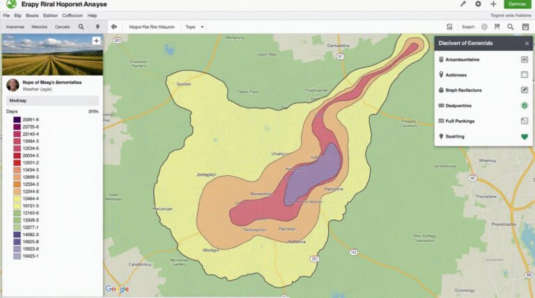
Remote sensing is vital in today’s change detection studies. It lets us gather info without touching the object. Satellite images and aerial photos help us see land use changes over time.
These methods are cost-effective and cover large areas. They help us understand land use patterns.
Data Acquisition and Processing
Data quality is crucial for land use change detection. Researchers use remote sensing, field surveys, and crowdsourcing to gather data. Then, they analyze it to find and measure changes.
The data process includes steps like image prep, feature extraction, and change detection algorithms. These steps help us understand the extent of land use changes. This knowledge aids in making better environmental decisions.
“The integration of remote sensing and geographic information systems (GIS) has revolutionized the way we monitor and understand land use changes.”
By using remote sensing and GIS, researchers can track land use changes. This gives us insights for sustainable planning and policy-making.
Benefits of Land Use Change Detection
Land use change detection is key for better policy planning and environmental care. It helps us track how land use changes. This way, we can make smart decisions for a greener future.
Informing Policy and Planning
This tool gives us a clear view of how landscapes change. It’s vital for tackling big issues like urban growth, farming, and forest loss. With this info, we can plan better and use resources wisely.
Enhancing Environmental Conservation
It’s also crucial for saving our environment. It helps spot where forests are disappearing or habitats are being lost. This lets us focus our efforts and protect vital areas for nature.
| Policy Planning | Environmental Conservation |
|---|---|
|
|
Land use change detection does more than help with policy and the environment. It gives us a deep understanding of our changing world. This knowledge helps us make choices that meet economic, social, and ecological needs.
“Land use change detection is a powerful tool that enables us to bridge the gap between economic progress and environmental sustainability.”
Challenges in Change Detection Analysis
Doing land use change detection analysis is tough. Two big problems are data quality and resolution, and the hard part of watching changes over time.
Data Quality and Resolution
Good change detection needs high-quality, detailed data. Bad data or low-resolution images make it hard to see small changes. Inconsistent data sources and different ways of collecting data can also mess up the analysis.
Temporal Changes and Monitoring
Watching land use changes over time is tricky. Seasonal changes, weather, and other factors can make it hard to tell real changes from just normal ups and downs. It’s important to keep watching the same way and account for these changes to get accurate results.
| Challenge | Description | Potential Solutions |
|---|---|---|
| Data Quality and Resolution | Inconsistencies in data sources, collection methods, and spatial/spectral resolutions can introduce errors and biases. |
|
| Temporal Changes and Monitoring | Seasonal changes, weather, and other factors can hide real land use changes. |
|
Fixing these data quality and temporal changes problems is key to better change detection analysis. By tackling these issues, we can get more reliable insights. These insights help make better decisions and plans for land use.
Case Studies: Successful Applications of GIS
Geographic Information Systems (GIS) have shown their worth in many real-world scenarios. They help with urban planning and forest conservation. These examples highlight how GIS technology can solve complex land use problems.
Urban Planning in Cities
In urban planning, GIS is a game-changer. Cities like New York and Los Angeles use it to manage growth. It helps plan land use and infrastructure better.
By using spatial data, GIS helps make smarter decisions. This leads to sustainable growth and better lives for city dwellers.
Conservation Efforts in Forest Regions
GIS is key in saving forests worldwide. Environmental groups and non-profits use it to track deforestation and map habitats. It guides efforts to save the Amazon rainforest from illegal logging.
| Application Area | Key Benefits of GIS |
|---|---|
| Urban Planning |
|
| Forest Conservation |
|
These examples show GIS’s power in solving land use issues. From planning cities to saving forests, GIS is a game-changer. As technology gets better, GIS will play an even bigger role in protecting our environment.
“GIS has become an indispensable tool in our efforts to create sustainable, livable cities and protect our precious natural resources.”
Future Trends in Land Use Monitoring
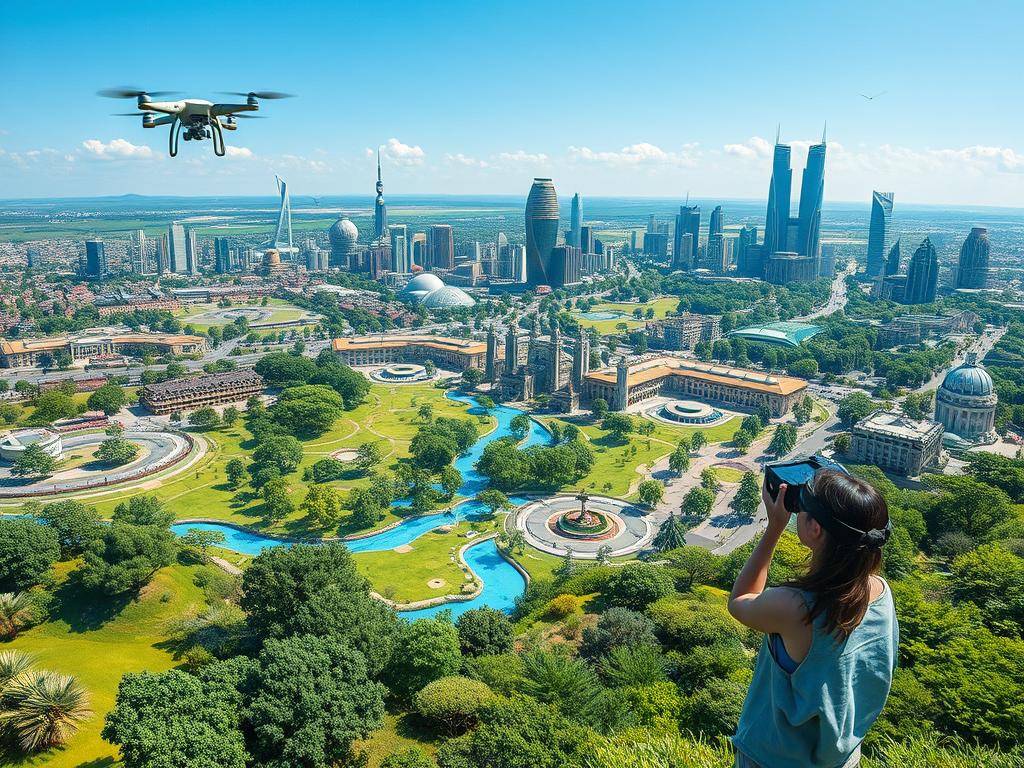
The world of geographic information systems (GIS) is always changing. New technologies and data analysis are making land use monitoring better. We can now spot and study changes in land use more accurately over time.
Advances in Technology and Data Analytics
New tools like remote sensing and satellite images are changing how we gather land use data. Future trends in GIS will use even more detailed, up-to-date data. This means we can watch land use changes happen in real time.
Data analytics are also getting better fast. This lets GIS experts find important information in huge amounts of data. New algorithms and machine learning help spot complex patterns in land use. This makes it easier to predict changes and make smart decisions.
Role of Artificial Intelligence in GIS
Artificial intelligence (AI) is making a big impact in GIS. AI tools can do many tasks automatically, from getting data ready to finding land use changes. This makes work easier and helps find new insights in data.
AI can also predict future land use changes. This lets people plan ahead and tackle big environmental or urban issues before they start.
“The integration of artificial intelligence and advanced analytics in GIS will be a game-changer for land use monitoring, empowering us to make more informed and impactful decisions for the future of our planet.”
Conclusion
As we wrap up our look at land use monitoring with GIS technology, let’s highlight the main points. This article showed how crucial it is to track land use changes. It’s key for good environmental management and planning for the future.
Summary of Key Insights
GIS technology is a big help in watching and studying land use changes. This includes how cities grow, farms expand, and forests shrink. Thanks to remote sensing and geospatial data, we understand our changing landscapes better.
With these tools, leaders and environmental managers can make better choices. They can balance economic growth with protecting nature.
Importance of Continuous Monitoring
This article stressed the need to keep watching land use. It’s important to track changes and trends to spot new problems. It helps us see if our policies work and tackle environmental issues early.
As technology gets better, so will GIS-based land use monitoring. This will help us make smarter, greener choices for our planet’s future.


2 Comments