GIS for Urban Growth and Sprawl Analysis
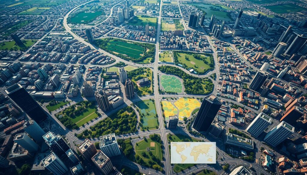
The world is changing fast, with cities growing quickly. This makes it crucial to understand and manage city growth. Geographic Information Systems (GIS) are key tools for city planners and policymakers. They help analyze how cities grow and tackle the issues of urban sprawl.
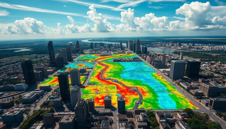
GIS technology offers a detailed, data-driven way to plan cities. It lets cities track and study their growth. By combining data from different sources, GIS helps planners see, measure, and understand urban development. This is vital for making smart choices, like where to invest in infrastructure and how to use land wisely.
GIS also helps bring people together. It makes it easier for city officials, planners, community members, and developers to work together. GIS creates interactive maps and visualizations. This helps everyone understand city growth better and work together on future plans.
Key Takeaways
- GIS provides a comprehensive and data-driven approach to analyzing urban growth and sprawl patterns.
- GIS enables cities to monitor and visualize urban development trends, supporting informed decision-making and sustainable planning.
- GIS facilitates collaboration and communication among stakeholders, promoting a shared understanding of urban growth dynamics.
- GIS-powered urban analysis can help cities prioritize infrastructure investments, manage land use, and implement policies that encourage sustainable development.
- The integration of GIS in urban planning is crucial for addressing the challenges of modern urbanization and shaping the cities of the future.
Introduction to GIS in Urban Planning
Geographic Information Systems (GIS) are key in urban planning today. They use data to show how cities work. This helps planners make better choices.
Definition of GIS
GIS is a system that handles and shows data on maps. It helps us see patterns and trends in cities. This technology has grown a lot, helping planners manage city growth.
Importance of Geographic Information Systems
GIS is very important for planning cities. It gives planners a full view of the city. They can see how different areas work together.
GIS also helps planners talk about their ideas clearly. This makes it easier for everyone to understand and agree on plans.
“GIS is not just a technology, but a way of thinking about and understanding the world.”
GIS has changed urban planning for the better. It makes decisions more efficient and sustainable. With GIS, planners can tackle big city challenges like growth and infrastructure.
Understanding Urban Growth
Cities have grown in a way that’s rich with history. This growth is influenced by many factors. These include population, economy, transportation, and land use policies. Together, they shape the modern city and its unique patterns of development.
Historical Context of Urban Growth
Historically, cities have grown for many reasons. The Industrial Revolution brought people from the countryside to cities for jobs. Later, cars and highways allowed people to live farther from city centers but still commute.
Factors Influencing Urban Expansion
Today, many things affect how cities grow. These include:
- Population Growth: More people mean more need for homes, roads, and services in cities.
- Economic Development: Strong economies and jobs draw people to cities, leading to more growth.
- Transportation Infrastructure: Roads and public transit let people live farther from cities, causing them to spread out.
- Land Use Policies: Laws and incentives can either help or stop cities from growing.
Knowing the history and factors behind urban growth is key. It helps planners and policymakers manage city growth and tackle sprawl challenges.
Types of Urban Sprawl
Cities grow in different ways, each with its own set of challenges. Knowing these types is key for planning better cities. Let’s look at three main types: low-density sprawl, leapfrog development, and perimeter growth.
Low-Density Sprawl
Low-density sprawl means areas with lots of space between buildings. It’s often seen in suburbs where people want big homes and land. But, it can make driving more common, increase costs, and make it hard to get to services.
Leapfrog Development
Leapfrog development happens when new areas are built, leaving empty spaces around them. This creates isolated spots and uses resources poorly. It’s often seen because land is cheaper on the outskirts and zoning favors single-use areas.
Perimeter Growth
Perimeter growth means cities grow outward, taking up rural or natural areas. This can harm farmland, disrupt nature, and make traffic worse. It’s because development moves outward, making commutes longer.
It’s important to understand urban sprawl and its effects. Tools like Geographic Information Systems (GIS) help track and analyze these patterns. This information guides better city planning and development.
Role of GIS in Urban Growth Analysis
Geographic Information Systems (GIS) are key for studying urban growth. They offer many ways to collect and analyze data. This helps urban planners understand and manage city growth better.
Data Collection Techniques
GIS uses many ways to get spatial data. Remote sensing, like satellite images, lets us watch cities grow over time. GPS and crowd-sourced data also add to the data pool.
Spatial Analysis Capabilities
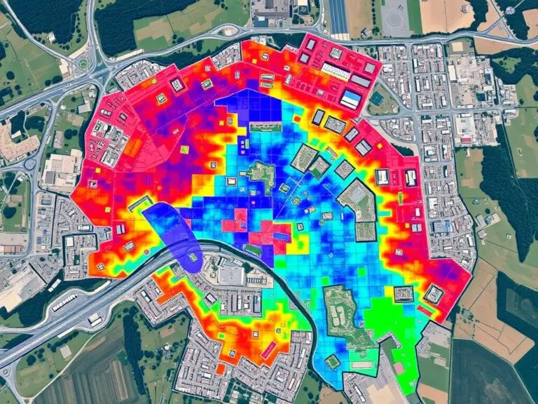
GIS’s strength is in its advanced analysis. It can show how cities grow, spot trends, and forecast future changes. Geospatial analytics help planners see where people live, roads are, and land is used. This info is vital for making smart decisions.
“GIS analysis has changed urban planning. It gives us a deep look at city changes, helping us make better choices.”
With GIS analysis, planners can create plans based on solid data. This way, they can help cities grow in a sustainable, livable way.
Case Studies of GIS in Urban Growth
Geospatial technologies, like Geographic Information Systems (GIS), are key in urban planning. They help us see how GIS changes urban development for the better. We learn from both successes and failures in urban growth.
Successful Urban Growth Planning
The city of Portland, Oregon is a great example. GIS helps manage growth and supports sustainable development. It uses data on land use, transportation, and the environment.
This approach leads to better zoning, infrastructure, and development. Portland’s urban core is now vibrant and attractive. It shows GIS can make cities better.
Lessons from Abandoned Sprawl Projects
The failed sprawl project in Riverside, California teaches us a lesson. It was planned big but never happened because of poor planning. GIS can help us see why.
It shows the need for careful planning, listening to people, and thinking about the environment. These are key for good urban planning.
| Case Study | Outcome | Key Lessons |
|---|---|---|
| Portland, Oregon | Successful urban growth planning |
|
| Riverside, California | Abandoned sprawl project |
|
These examples show GIS’s power in urban planning. They teach us from successes and failures. GIS helps planners make smart choices for sustainable growth and thriving communities.

Tools and Technologies in GIS
In urban growth analysis, GIS software and new geospatial technologies are key. They help planners and analysts work with lots of data. This leads to better decisions and growth strategies.
Popular GIS Software
Top GIS software for urban growth includes ArcGIS, QGIS, and Esri’s products. They have features like mapping, analysis, and data management. These tools help planners understand and manage urban growth.
Emerging Technologies in GIS
New GIS technologies are changing urban analysis. AI and ML are being used for predictions and decision-making. Big data and cloud-based GIS also help with large datasets and computing.
GIS is also getting better with remote sensing, GPS, and IoT. These technologies let planners monitor urban changes in real-time. This makes planning more responsive and proactive.
| GIS Software | Key Features | Applications in Urban Growth Analysis |
|---|---|---|
| ArcGIS | Comprehensive mapping and spatial analysis tools, integration with AI and ML | Visualization of urban growth patterns, predictive modeling, and decision support |
| QGIS | Open-source GIS platform, robust spatial analysis capabilities, extensibility through plugins | Identifying and analyzing urban sprawl, infrastructure planning, and sustainable development |
| Esri’s GIS Suite | Cloud-based GIS solutions, real-time data integration, advanced spatial analytics | Monitoring and managing urban growth, urban planning scenario modeling, and policy evaluation |
GIS keeps getting better, helping planners understand urban growth. This leads to more effective and sustainable development.
GIS Data Sources for Urban Analysis
Urban growth and development need a wide range of geospatial data. GIS experts use both public and private data to understand urban changes. This helps in planning better for cities.
Publicly Available Datasets
Many government agencies and research groups share GIS data for free. This data is key for city analysis. It includes:
- Census data from national and local authorities, providing demographic and socioeconomic information
- Land use and zoning maps maintained by urban planning departments
- Satellite imagery and aerial photography from national and international space agencies
- Transportation data, such as road networks and public transit information, from transportation departments
- Environmental data, including topography, hydrology, and vegetation, from environmental agencies
Private Sector Contributions
The private sector also plays a big role in GIS data. Companies offer a variety of products and services. These include:
- High-resolution satellite and aerial imagery from private satellite operators and aerial photography companies
- Proprietary databases containing detailed information on real estate, business locations, and consumer behavior
- Crowd-sourced data platforms, like OpenStreetMap, that leverage community-generated geospatial information
- Location-based services and mobile app data that can provide insights into urban mobility patterns
By combining public and private GIS data, city planners and analysts get a full picture of urban growth. This helps in making better decisions and managing cities more effectively.
Challenges in Using GIS for Urban Analysis
Geographic Information Systems (GIS) have changed urban planning a lot. But, they face some big challenges. As cities grow, GIS challenges in data quality and system integration are getting worse. We need good solutions for these problems.
Data Quality Issues
One big data quality problem in GIS is the accuracy and up-to-date nature of data. Bad data can lead to poor planning decisions. It’s important to make sure data is reliable and well-managed for good urban analysis with GIS.
Integration with Other Systems
GIS integration with other urban planning systems is hard. Different systems and data formats make it hard to share data smoothly. We need to work on making data sharing better and getting all systems to talk to each other.
| GIS Challenge | Description | Potential Impact |
|---|---|---|
| Data Quality | Accuracy, completeness, and currency of spatial data | Flawed decision-making and suboptimal urban planning |
| System Integration | Lack of standardization and interoperability between GIS and other urban planning systems | Barriers to data exchange and collaboration |
Fixing these GIS challenges is key to using GIS to its full potential. By focusing on better data, improving system integration, and using new tech, we can make cities better. This means cities that are sustainable, strong, and great places to live.
Future Trends in GIS for Urban Growth
Cities are growing, and GIS is becoming more important in planning. Predictive analytics are leading this trend. They use advanced algorithms and machine learning to predict growth patterns with great accuracy.
Geospatial forecasting is a key part of this trend. It helps urban planners see what the future might hold. By using data from satellites, sensors, and crowdsourcing, GIS can understand urban dynamics well.
Unlocking the Potential of Predictive Analytics
Predictive analytics in GIS could change urban planning. It lets planners predict population growth and infrastructure needs. This helps make decisions that fit a city’s long-term goals.
Also, 3D modeling and visualization tools in GIS help show urban growth scenarios. This makes it easier to involve stakeholders and make decisions. As these tools get better, GIS will play a bigger role in urban planning.
“The future of urban planning lies in the seamless integration of GIS, predictive analytics, and real-time data – a powerful combination that will enable cities to anticipate and adapt to the challenges of growth and development.”
Conclusion
This article has explored how Geographic Information Systems (GIS) are key in studying urban growth and sprawl. We looked at GIS’s role in urban planning and its impact on sustainable development and smart cities.
Summary of Key Points
We discussed the history of urban growth and the factors that affect it. GIS is a vital tool for collecting data, analyzing spaces, and making informed decisions. It helps tackle urban challenges.
Case studies showed how GIS is used in urban planning. They also shared lessons from failed sprawl projects.
The Future of Urban Planning with GIS
Looking ahead, GIS urban planning, geospatial innovation, and new technologies are promising. They will help in creating smart cities and supporting sustainable development.
Urban planners, policymakers, and citizens will use data to build better communities. These communities will be livable, resilient, and fair for all.


