AI for Detecting Land Use Changes – Urbanization
# AI for Detecting Land Use Changes – Urbanization
The rapid pace of urbanization and the increasing emphasis on sustainable development, coupled with natural disasters and environmental monitoring, have spurred a demanding need for insightful tools to understand and track land use changes. That’s where **Geospatial Artificial Intelligence** (GeoAI) comes in.
GeoAI leverages advanced algorithmic and statistical techniques with geospatial data, vastly empowering us to analyze and interpret spatial change patterns. This, in turn, is empowering urban planners, policymakers, environmental experts, and researchers worldwide.
## What is GeoAI and Why is it crucial?
GeoAI, at its core, empowers us to:
* **Understand patterns:** GeoAI analyzes vast amounts of high-resolution satellite imagery and other geospatial datasets to identify emerging trends and pinpoint subtle land use changes over significant periods (months, years, decades).
* **Predict future changes:** Uses historical data and machine learning models to project future land use trends, thereby enabling picture of what land fluctuations might look like in the future.
* **Solve complex problems:** Identifies environmental risks and aids in mitigating and managing natural disasters.
**Benefits of GeoAI for Detecting Land Use Changes:**
* **Early Disaster detection:** Detects deforestation and natural disasters faster, providing vital time for preparedness and response.
* **Sustainable Urban Development:** Understand how land is being utilized in various areas and optimize land use for efficient, sustainable development and resource conservation.
* **Conservation Management:** Allows us to focus resource allocation of resources for conservation and create more effective protection strategies.
* **Market analysis:** Aid in understanding market demand, delivering evidence-based insights for sales strategies, location planning, and real-estate investment decisions.
## Key Features of GeoAI for Land Use Change Detection
* **Data Integration and Fusion:** Combines data from diverse sources such as satellite imagery, aerial photography, LiDAR, and online mapping platforms
* **Computer Vision Techniques:** Artificial intelligence is vastly updated to identify changes in the spatial layout of the landscape, recognize patterns of land use change, monitor pavement extraction, and detect deforestation.
* **Pattern Recognition and Clustering:** Analyzes historical and current data to identify, over time, how forests are misplaced or managed.
* **Machine Learning Algorithms:** Improves accuracy and effectiveness by providing insights from complex scenarios.
## Harnessing GeoAI for Urbanization Research and Practices
* **Identifying Urban Sprawl:** Track the direction and perimeter of urban encroachment to monitor growth and initialize planning measures.
* **Comprehensive Land Cover Analysis:** Provides precise land cover classification, enabling detailed analysis of vegetation, infrastructure changes, and other features.
* **Urban Planning Insights:** Helps identify ideal locations for water resources, green spaces, and efficient transportation infrastructure.
## Practical Applications of GeoAI
1. **Climate Change Impacts Monitoring:** Tracking deforestation and habitat destruction, and projecting potential climate change impacts.
2. **Emergency response:** Detecting and prioritizing land use change impacts during natural disasters and emergencies.
3. **Land Use Zoning Regulations:** Improving the analysis of potential land use changes and supporting effective zoning regulations.
4. **Market prediction and analysis:** Utilizing data analysis to predict market fluctuations and optimize strategic investment decisions.
5. **Environmental Conservation:** Identify and monitor for illegal deforestation and habitat destruction.
## Resources for learning more about GeoAI for Land Change Detection:
* **QuickSearch.AI**: A free platform for collecting and analyzing geospatial data.
* **Google Earth Engine**: A cloud-based platform for geospatial data analysis and hosting.
* **NASA Earthdata**: Access to satellite imagery and related datasets from NASA.
* **USGS Earth Explorer**: Discover and analyze diverse geographic data overseen by the US Geological Survey.
Let’s work together to develop future solutions and assess the evolving dynamics of urbanization through the power of GeoAI.
## Frequently Asked Questions (FAQs) about AI for Detecting Land-Use Changes and Urbanization
**What is AI-detecting-land-use-changes-urbanization?**
AI-detecting-land-use-changes-urbanization refers to the use of Artificial intelligence (AI) technologies to automatically identify and analyze changes in land use and urbanization, often used by environmental organizations and researchers, urban planners, and government agencies.
**How is AI used?**
AI algorithms are trained on vast datasets that include images, satellite data, and other geospatial information. They identify patterns that are associated with specific types of land-use changes, which could be:
* **Residential development:** Identifying new houses, apartments, and communities.
* **Commercialization:** Recognizing the growth of businesses, shops, and office buildings.
* **Infrastructure improvement:** Detecting railways, toll roads, power lines, and other infrastructure development.
* **Wildfires and deforestation:** Mapping locations where forests disappear or are burnt.
* **Erosion and flooding:** Identifying areas vulnerable to sediment loss or water level changes
**What are the advantages of using AI for this purpose?**
* **Accuracy and speed:** AI excels at identifying patterns that human eyes might miss, and can process data much faster than traditional analysis methods.
* **Remote sensing capability:** AI can analyze data over large areas and track land-use changes efficiently.
* **Cost-effectiveness:** Streamlining the monitoring process reduces costs involved in manual identification.
**Where can I find tools and information about AI-detecting-land-use-changes-urbanization?**
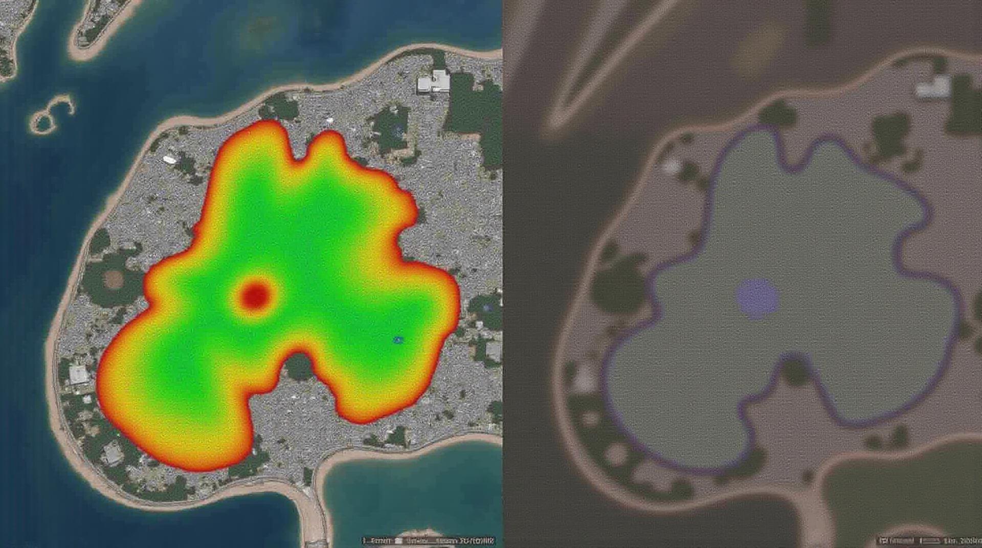
![]()
A range of resources are available in the following platforms:
| Platform | Link |
|—|—|
| **Google Earth Engine** | https://www.earthengine.google.com/ |
| **Pix4Dmapper** | https://pix4d.com/ |
| **Sentinel Hub** | https://www.sentinelhub.com/ |
**Can I use AI-detecting-land-use-changes-urbanization to monitor how my area is changing?**
Yes, various research institutes, universities, and organizations offer tools allowing you to track and analyze change in your area by providing:
* Landsat imagery
* Satellite data processing |
* Customized analysis options with machine learning models
**What formats are available for the AI-detecting-land-use-changes-urbanization data?**
Most AI tools provide accessible data formats for analysis and consumption such as:
* **Raster files:** Representing images in gridded format suitable for mapping.
* **Polygon files:** Indicating specific areas on a map where changes have occurred.
* **Shapefiles:** A standard format to store geographic data and feature attributes.
**How do I use AI-detecting-land-use-changes-urbanization data?**
Data outputs and analysis methodologies can be adapted for use by government officials, urban planners, researchers, and general users to:
* **Monitor urban growth and its impact on the environment.**
* **Allocate resources wisely for cities that need improvement.**
* **Prevent unauthorized land development and protect sensitive areas.**
**How can I help promote the use of AI-detecting-land-use-changes-urbanization?**
By supporting research projects, supporting open-source datasets and code, advocating for increased accessibility to AI tools for public good applications, and sharing successful implementations, we can ensure this technology is applied fairly and efficiently in evolving urban environments.
**Conclusion**
AI-detecting-land-use-changes-urbanization is a crucial tool to address pressing challenges like urbanization and its environmental impact. Increasing accessibility and awareness of this technology’s benefits is essential.
By promoting its application and utilization responsibly, we can effectively manage sustainable urban development, enhancing a future with knowledge-driven decision-making based on reliable data.