AI-Driven Spatial Analysis in GIS – Pattern Recognition
AI-Driven Spatial Analysis in GIS: Pattern Recognition
The world is awash in data. We generate an unimaginable amount of information every day, and much of it is tied to our geographical location. This interconnectedness has ushered in a new era of spatial analysis, one that leverages the power of Artificial Intelligence (AI) to unlock hidden patterns and insights waiting to be discovered in geospatial data (AI) . This is where GeoAI comes into play.
What is GeoAI?
GeoAI encompasses a broad spectrum of techniques and tools that employ the power of Artificial Intelligence to manipulate, analyze, and interpret geospatial data geospatial Data. From image classification and object detection to predictive modeling and pattern recognition, GeoAI offers invaluable assistance in mapping decision-makers’ choices and strategizing their actions.
Here are some key features of GeoAI:
- **Machine Learning (ML):** GeoAI algorithms are trained using vast datasets of geospatial imagery and points. This allows them to extract valuable patterns and relationships.
- **Automated Tasks:** Unlike traditional GIS techniques, GeoAI can automate repetitive, complex tasks such as change detection, object classification, and spatial correlation analysis.
- **Enhanced Visualization:** AI algorithms can create complex visualizations to aid in understanding complex spatial relationships and reveal unexpected patterns.
- **Real-Time Insights:** We have more flexibility with GeoAI to work on datasets as they come in, and the insights and decisions can be made faster with AI integration.
Benefits of using Pattern Recognition in GIS
Essentially, pattern recognition in GIS allows users to extract meaningful information from geospatial data that would otherwise remain hidden. The benefits are significant, touching upon a wide array of sectors:
- **Predictive Analysis:** Predict future events, like the spread of wildfires based on historical data of past fire occurrences, or position movements of populations during natural disasters, to better prepare emergency services.
- **Urban Planning & Development:** Analyze patterns in land use and demographics, helping pinpoint ideal locations for new infrastructure, housing projects, or commercial buildings. This is crucial for sustainable urban planning
- **Environmental Monitoring:** Monitor deforestation, invasive species outbreaks, or pollution patterns, encouraging more proactive environmental management.
- **Disaster Management:** Analyze disaster patterns to develop faster and more effective responses and improve emergency preparedness.
Practical Applications of GeoAI
The possibilities for GeoAI are rapidly expanding, as its applications move beyond isolated projects and into everyday operations. Some notable examples include:
- **City Optimization:** Analyze traffic patterns and urban growth to optimize transportation routes, allocate parking space, and develop intelligent public transit systems.
- **Business Intelligence:** Predicting customer behavior in local areas, including movement patterns, purchase intent, and marketing campaign impacts.
- **Agriculture:** Classifying and mapping crop types and locations to optimize fertilizer & pesticide usage, as well as detecting early signs of plant diseases.
- **Water Resources Management:** Analyze river flows, monitor water quality, and predict potential droughts or water shortages.
Resources & Further Exploration
The GeoAI field is rapidly evolving, seamlessly blending the intricate power of geospatial data with the dynamism of AI. To stay up-to-date, here are some excellent resources:
- Esri Machine Learning (Esri is a leading provider of GIS and Remote Sensing solutions)
- ArcGIS for AI
- Govtech – AI in GIS
- Journals – GeoAI benchmarks
Remember, pattern recognition in GIS with GeoAI has the potential to transform how we understand the world around us, providing a toolkit to tackle complex challenges and support informed decision-making.
## AI-Driven Spatial Analysis in GIS Pattern Recognition: FAQs
**Here’s a breakdown of common questions and answers about this exciting technology.**
### What is AI-Driven Spatial Analysis in GIS Pattern Recognition?
AI-Driven Spatial Analysis in GIS Pattern Recognition utilizes artificial intelligence (AI) to enhance spatial analysis and pattern recognition capabilities within Geographic Information Systems (GIS). In simple terms, it uses machine learning algorithms to analyze spatial data, like imagery, maps, and feature points, to detect significant patterns and trends.
This enables users to:
* **Identify emerging patterns** in things like disease outbreaks, transportation congestion, or forest fire spread.
* **Make more accurate predictions** about city growth or resource distribution.
* **Optimize decision-making** by providing invaluable insights into spatial relationships and trends.
**Availability:**
This technology is now readily available through a range of GIS platforms, with advanced APIs and software packages specifically designed for AI-driven analysis. Many of them are available as online services, granting researchers and professionals access without the need for extensive set-up or technical expertise.
### Utilizing AI-Driven Spatial Analysis: Formats & Applications:
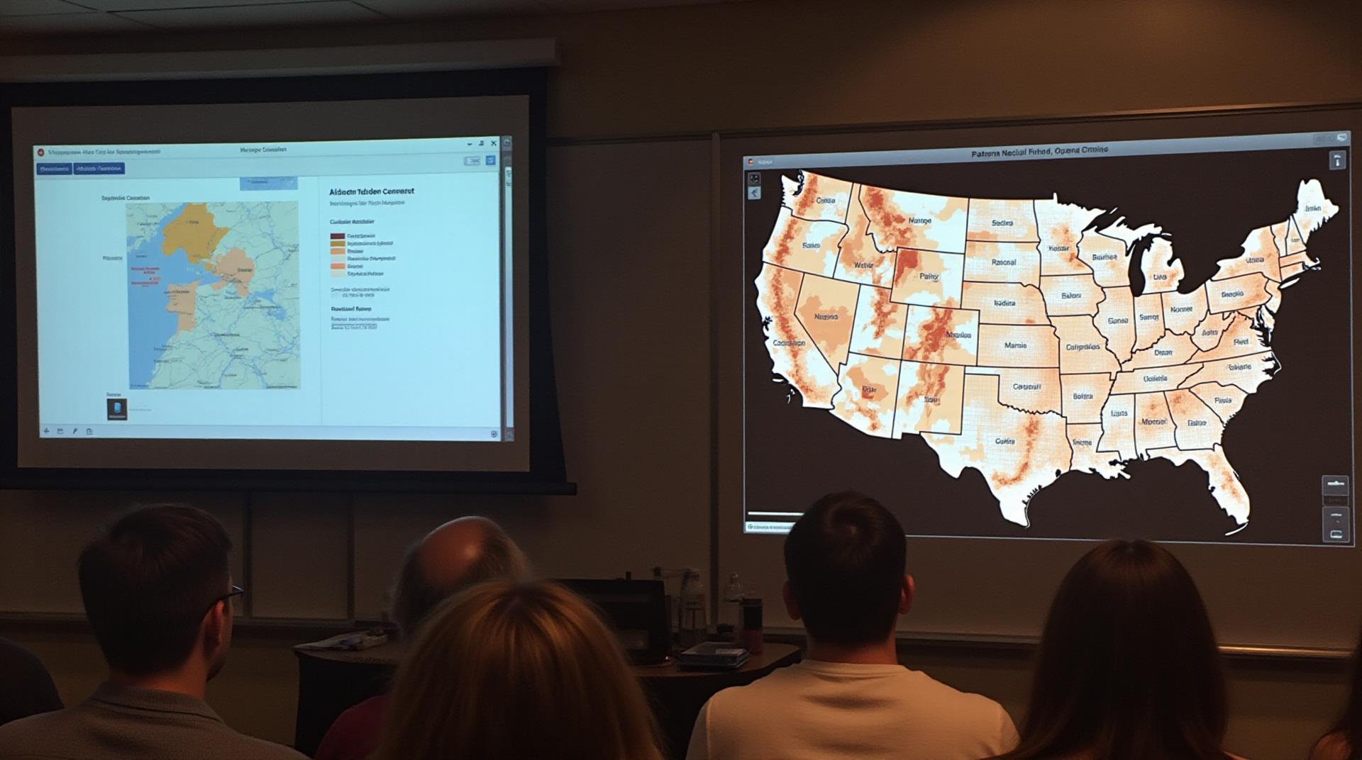
* **Image Data:** AI can process satellite imagery, aerial photographs, and drone footage to identify land use changes, monitor crop health, predict disaster zones, and even track wildlife migration patterns.
* **Geospatial Data:** AI can analyze vast sets of geospatial data, such as geographic coordinates, proximity-based data, and topographic data, enabling city planning, traffic management, and optimization of resources.
* **Real-Time Data:** AI can analyze continuous data streams, like sensor readings or social media activity, to provide real-time updates on events, contributing to emergency management and traffic insights.
### What Can I Use This For?
**Some example applications:**
* **Smart Urban Planning:** Optimize traffic and transportation networks, predict future property values, identify areas for renewable energy development.
* **Environmental Monitoring:** Predict and mitigate natural disaster risks, track wildlife populations, monitor deforestation patterns.
* **Healthcare & Public Health:** Identify disease outbreaks early, assess health risks in specific areas, develop targeted interventions.
* **Business Analytics:** Identify high-demand areas for retail and service businesses, optimize logistics and supply chains, evaluate facility locations.
***
## Conclusion: Embracing the Future of Spatial Analysis
AI-driven spatial analysis is revolutionizing how we understand and manage our world. This technology empowers analysts, decision-makers, and planners to gain invaluable insight from spatial data. By harnessing their AI capabilities, we can anticipate and address challenges, make more informed decisions, and unlock immense potential for sustainable development.
Explore ArcGIS solutions
Azure AI for Vision
Google AI Platform
**For more information on this exciting technology, visit**: