AI in Geospatial Analytics for Sustainable Development – Resource Management
AI in Geospatial Analytics for Sustainable Development – Resource Management
In today’s world, sustainable development is a priority, and resource management is central. Traditional methods often struggle to incorporate the vast and dynamic potential of our planet’s data space. This is where GeoAI enters the picture, offering a sophisticated and data-driven solution. This post explores the power of GeoAI in resource management, revealing how it enhances our capacity to conserve resources and promote environmental well-being.
What is GeoAI & its Promise
GeoAI, also known as Geospatial Artificial Intelligence, combines the power of AI with geospatial technologies. Think of it as taking our current understanding of the world and integrating it with advanced algorithms that can learn, predict, and analyze data from geographic locations.
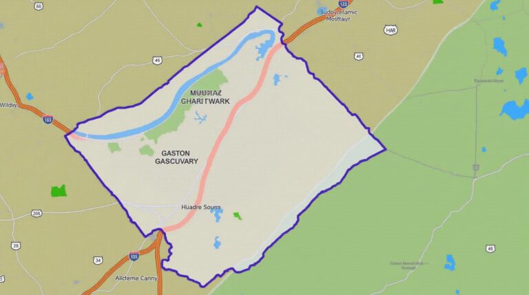
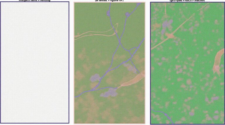
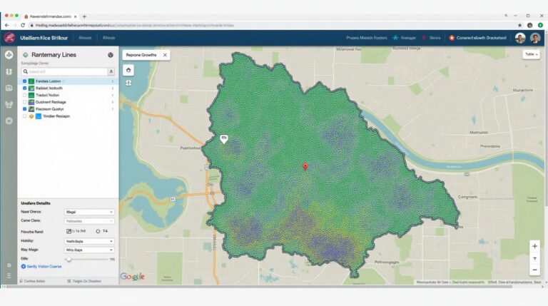
- Unveiling spatial patterns: GeoAI allows us to extract meaningful insights from vast quantities of geospatial data: satellite imagery, sensor data, geographical information system (GIS) mapping, and more.
- Improving predictive power: GeoAI can predict natural disasters, forest fires, damage to infrastructure, and changes in environmental conditions.
- Enabling smarter decision-making: Geospatial data can be used to understand resource distribution, optimize transportation, target environmental interventions effectively, and increase energy efficiency.
Benefits of GeoAI for Resource Management
The application of GeoAI brings numerous benefits for sustainable resource management, allowing us to move towards more informed and productive models.
- Precision and optimization: GeoAI can pinpoint optimal locations for resource extraction, improving efficiency and minimizing waste.
- Resource tracking and monitoring: Continuously monitor water sources, soil quality, or energy infrastructure, enabling timely intervention and proactive management.
- Predicting environmental stress: Use historical data and current conditions to predict potential impacts, allowing preventative measures before situations reach critical points.
- Enhanced understanding of ecological systems: GeoAI allows scientists to analyze complex ecosystems, understand their vulnerability to change, and develop conservation strategies.
Practical Applications of GeoAI in Resource Management
The applications of GeoAI extend to various resource management domains, demonstrating its versatility and potential.
- Water Resource Management: Predicting drought conditions, analyzing water usage patterns, optimizing irrigation systems, developing efficient water distribution channels, and maximizing crop water efficiency.
- Sustainable Land Use: Monitoring deforestation, guiding forest management plans, creating zoning for sustainable agricultural practices, and optimizing urban development for sustainability.
- Renewable Energy Generation: Analyzing solar radiation, wind speeds, and other factors to optimize placement for wind turbines and solar panels.
- Environmental Protection: Analyzing pollution levels, mapping environmental impact, helping identify and prioritize pollution sources, and implementing effective pollution control measures.
Explore The Possibilities & Resources
GeoAI is an exciting and rapidly evolving field. To explore this rapidly growing area, here are some references and resources:
- **Dataset Galaxy:** https://www.datagalaxy.tech/ A world-class repository for geospatial datasets.
- **Esri’s GeoAI Resources:** https://www.esri.com/en-us/industries/technology/geo ai – Esri’s platform for GeoAI tools and resources.
- ** ArcGIS Hub:** https://www.arcgis.com/hub/hub-for-developers – Explore ArcGIS Hub for demonstrating GeoAI applications.
- **CARTOS’s GeoAI Research:** https://cartos.com/ – Leading insights and contributions to GeoAI research.
Conclusion
The adoption of GeoAI in resource management holds immense potential for combating global challenges and achieving sustainable development goals. Geospatial analysis empowers us with the tools to strike a balance between environmental conservation, economic growth, and social equity, paving the way for a truly sustainable future.
Let’s leverage the power of GeoAI and pave the way for a more sustainable and resilient future!
## AI-Geospatial Analytics for Sustainable Development: FAQs
Here are some common questions and answers regarding the application of AI-geospatial analytics to sustainable development:
**Q: What is AI-geospatial analytics?**
AI-geospatial analytics combines artificial intelligence and geographic information systems (GIS) to extract insights from spatial data. This powerful approach uses data like satellite imagery, sensor data, and location-based information to model and predict various aspects of sustainable development, such as resource availability, pollution levels, and urban growth.
**Q: How is this helpful for sustainable development? **
AI-geospatial analytics offers robust tools for understanding the drivers and impacts of environmental and socio-economic challenges happening in our world. This helps communities identify vulnerabilities, inform resource management, minimize environmental impact, and make more impactful development policies. Some key applications include:
- **Identifying areas vulnerable to climate change** Watch a video on Climate Change Inferences based on AI
- **Predicting urban sprawl** Read about how AI-based solutions are predicting urban sprawl
- **Optimizing renewable energy deployment** Read scientific articles on the integration of AI and PGE development
**Q: I’m looking for available formats. What do you have?**
As AI-geospatial analytics is typically used to process vast and intricate datasets, many formats can support analysis, including:
- **Geospatial Data Formats:** Shapefiles, GeoJSON, KML, and others
- **Image Formats:** Geotiff, JPEG, and others widely used for satellite imagery
- **Vector Formats:** Can be used for the efficient storage of geographical data
- **Text-based Data Formats:** CSV, Parquet, and others are frequently used for administrative and contextual data
**Q: How do I access this technology?**
There are various ways to access AI-geospatial analytics tools:
- **Cloud-based Platforms:** Many platforms offer pre-configured AI-enabled geospatial tools and solutions like Google Earth Engine.
- **Open-source Libraries:** Libraries such as ArcGIS Pro include tools for accessing AI-based spatial analyses.
- **Research and Development Labs:** Academic institutions and research organizations are constantly developing new AI-geospatial analytic tools and approaches.
**Q: What about data privacy and ethical considerations?**
It is crucial to address data privacy and ethical issues ethically when using AI-geospatial analytics:
- **Data Privacy**: Ensure data is anonymized and collected responsibly to avoid potential privacy violations.
- **Transparency and Accountability**: Explain how the AI-geospatial outputs are generated, the data sources utilized and potential data biases.
- **Informed Consent**: When working with personal or sensitive data, secure informed consent from individuals is paramount.
- **Fairness and Non-discrimination**: AI algorithms should be scrutinized for potential biases and fairness mechanisms implemented to minimize unintended negative impacts.
**Conclusion:**
AI-geospatial analytics is becoming an indispensable tool in navigating the complex challenges of sustainable development. This technology empowers us with powerful functionalities for resource allocation, disaster preparedness, environmental monitoring, and urban planning, leading to more sustainable and inclusive development paths. Looking ahead, integration of AI-geospatial analytics requires continuous reflection on ethical implications and responsible development practices coupled with equitable access and adaptive methodologies to ensure sustainable solutions are better aligned with social and environmental needs. Learn More About Sustainable Development
By embracing AI-geospatial analytics, we can create a future where societal progress and environmental preservation work hand-in-hand, driving towards a more sustainable and equitable world for all.