AI in Geospatial Data Mining – Pattern Recognition
AI in Geospatial Data Mining: Pattern Recognition
The world is crawling with data, and geospatial data—information about the Earth’s surface and its features—represents a massive and untapped resource. As the sheer scale of geospatial data continues to grow, uncovering patterns and valuable insights becomes increasingly complex. That’s where AI, specifically, Pattern Recognition in Geospatial Data Mining, steps in.
What is GeoAI and Pattern Recognition?
GeoAI refers to the application of artificial intelligence techniques to analyze and interpret geospatial data. At its core is Pattern Recognition, the process of identifying recurring patterns and trends within various types of spatial data.
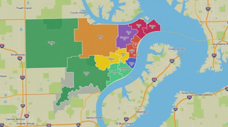
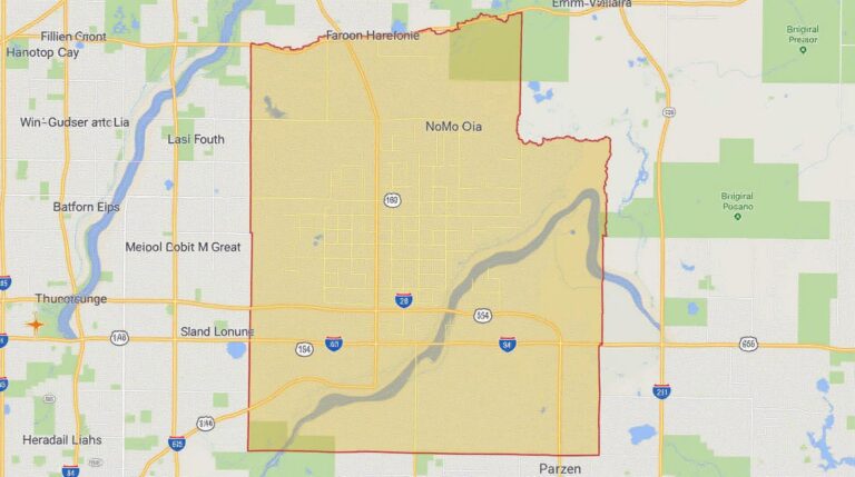
Key Features and Applications of GeoAI:- Optical Remote Sensing: Analyze satellite images and aerial photography for land use assessments, environmental monitoring, disaster management, and more.
- Geospatial Datasets: Use geospatial data, including GPS positioning, demographic data, topographical data, social media data, and more to understand relationships, trends, and spatial dynamics.
- Computer Vision and Machine Learning: Leverage algorithms like Convolutional Neural Networks (CNN) and Deep Learning techniques to automate feature extraction and classification for a wide range of applications.
- Predictive Analytics: Utilize geoAI models to forecast events like floods, earthquakes, or traffic congestion based on spatial analysis and historical data patterns.
Benefits of GeoAI Patterns:
- Improved Decision-Making: GeoAI provides policymakers, urban planners, and researchers with actionable insights that contribute to more informed and data-driven decisions.
- Enhanced Efficiency: Automate tasks like deforestation detection, disaster response planning, and wildlife monitoring, saving time and resources.
- Environmental Management: Better understand climate change impacts, develop sustainable land use strategies, and track resource depletion effectively.
- Enhanced Security: Implement early warning systems for criminal activity, manage border security, and monitor patterns associated with cybersecurity threats.
- Real-Time Insights: Visualize events as they unfold, providing real-time monitoring capabilities for disaster management, traffic optimization, and emergency response.
Practical Applications of GeoAI in Action:
The benefits of GeoAI are vast and impact diverse sectors:
- **Urban Planning and Infrastructure Development:** Optimize resource allocation, predict building damage zones, and manage traffic flow.
- **Disaster Management:** Identify areas prone to floods, improve evacuations, and manage search and rescue efforts.
- **Environmental Conservation:** Monitor deforestation, control pollution levels, and track endangered species movements.
- **Agriculture:** Assess crop yields, optimize land usage, and monitor livestock grazing patterns.
- **Trucking and Logistics:** Optimize route planning and real-time traffic management, leading to fuel savings and reduced delivery times.
- **Healthcare:** Map healthcare needs, optimize hospital staffing, and improve communication channels during outbreaks.
Getting Started with GeoAI and Pattern Recognition
Want to explore GeoAI and Pattern Recognition yourself? Here are valuable resources to get you started.
* **Open-Source Frameworks:**
* ArcGIS Pro– Powerful GIS platform with AI tools.
* OSGeo – open-source geospatial software.
* **Online Courses and Tutorials:**
* Coursera – Extensive selection of online courses in geospatial data science and AI.
*
Geo-burbs– Resources and tutorials on various aspects of Geospatial data science.
The field of GeoAI is rapidly evolving, promising even more innovative applications in the future. As AI continues its journey into the geospatial domain, we can anticipate an exciting transformation of how we understand and use our planet.
## AI-Geospatial Data Mining Pattern Recognition: FAQs
Ready to explore the power of AI in understanding our world through geospatial data? This introductory guide explains AI-geospatial-data-mining-pattern-recognition, addressing common questions about data availability, formats, and usage.
### Q: What is AI-Geospatial Data Mining Pattern Recognition exactly?
**A:** AI-geospatial-data-mining-pattern recognition merges cutting-edge artificial intelligence with advanced geospatial analysis techniques. It allows us to:
* **Extracting insights** from geospatial datasets like satellite imagery, maps, and GPS data.
* **Identifying patterns** and trends that normal analysis may miss.
* **Creating geospatial models** to predict future phenomena related to land cover, population, resource management, climate change, and more.
Learn more about ArcGIS for geospatial analysis
### Q: Where can I find spatial data for my analysis?
**A:** Finding the right geospatial data for AI-geospatial-data-mining-pattern recognition depends on your specific needs. Look for datasets that involve:
* **Remote Sensing Data:** Satellites and drones capturing images (like Landsat, Sentinel, Planet)
* **Aerial Photography and LiDAR:** Providing high-resolution detail for accurate analysis.
* **Geospatial Databases:** Open-source platforms (like OpenStreetMap), government datasets (e.g., USGS, NASA), and specialized providers (e.g., Esri, GeoServer).
Explore open-source geospatial data on OpenStreetMap
### Q: What are the typical data formats I need to work with?
**A:** Most geospatial data is stored in formats offering both structure and flexibility. Some common formats include:
* **Raster Data:** Image files like GeoTIFF, which store pixels and their associated properties (e.g., land use, elevation).
* **Vector Data:** Graph locations and attributes (e.g., roads, buildings, parks), often stored in formats like Shapefiles, GeoJSON.
Learn more about QGIS for geospatial data management
### Q: What can I do with AI-geospatial-data-mining-pattern recognition?
**A:** This powerful technique offers exciting possibilities across various domains:
* **Climate Change Modeling:** Predicting changes to ecosystems and resource availability.
* **Urban Planning:** Identifying development patterns and optimizing infrastructure.
* **Disaster Management:** Assessing risk and response in real time.
* **Agriculture:** Improving crop yields and optimizing water usage.
### Q: What kind of AI models can be used for pattern recognition?
**A:** Several AI models can be employed:
* **Deep Neural Networks:** Highly effective in image recognition, identifying patterns in images and features (like texture, land cover variations).
* **Support Vector Machines (SVMs):** Find patterns between data points and classify them effectively.
* **Clustering Algorithms:** Group datasets based on similarity.
### Q: What role does AI play in making geo data more accessible?
**A:** AI excels at handling massive geospatial database cleanses, automating data collection and processing, making vast and complex information easily understandable. It reduces the burden on professionals who can focus on interpretation.
**Valuable Insights:** By leveraging AI-geospatial data mining, we can unlock incredible value in maximizing the potential of geospatial data for diverse applications.
**Let Software Solutions Drive You Ahead:** To maximize the potential of AI-geospatial-data-mining-pattern recognition, exploring software solutions can provide valuable assistance. These include:
* **Arcgis:** ([https://www.esri.com/en-us/products/arcgis/](https://www.esri.com/en-us/products/arcgis/)) Enterprise-level platform for geospatial analysis.
* **QGIS:** ([https://www.qgis.org/en/site/](https://www.qgis.org/en/site/)) Powerful open-source software with a rich ecosystem for spatial analysis and data visualization.
**AI-geospatial-data-mining-pattern recognition is only accelerating momentum! Connect with experts to discover the true power AI can bring to your data