AI for Land Use Change Detection – Satellite Imagery
AI for Land Use Change Detection – Satellite Imagery
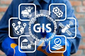
A Deep Dive into GeoAI Applications
The world of geospatial data is witnessing a transformation fueled by artificial intelligence (AI). With the advent of innovative tools, we’re now able to harness the power of AI, specifically GeoAI, to understand land use changes across the globe with unprecedented accuracy and speed.
What is GeoAI?
GeoAI combines the power of Artificial Intelligence and Geographic Information Science (GIS) to analyze and interpret spatial data. Essentially, it applies AI algorithms and techniques to analyze geospatial information, like satellite imagery, creating remarkable insights about our ever-changing earth.
Key Features of GeoAI for Land Use Change Detection
- **Advanced Pattern Recognition:** GeoAI algorithms excel at identifying complex patterns within satellite imagery, even those subtle changes happening over time. These patterns are critical for various analysis, including agricultural practices, urbanization growth, and deforestation processes.
- **Data Analysis at Scale:** GeoAI seamlessly integrates numerous data sources like satellite imagery, remote sensing data, and GPS information. This process helps analyze vast datasets effortlessly and publish accessible results.
- **Continuous Monitoring and Prediction:** Leveraging AI techniques, GeoAI offers real-time monitoring and prediction of dynamic land use changes. This proactive approach keeps us ahead of any issues and allows for timely intervention.
- **Automated Analysis & Reduced Human Reliance:** GeoAI automates much of the analysis process, cutting down on laborious manual processes and human errors. Its capabilities enable researchers and decision-makers to accelerate analysis and make more informed decisions.
Benefits of using GeoAI for Land Use Change Detection
The applications of GeoAI are vast and beneficial, ranging from crucial environmental monitoring to astute urban planning.
- **Environmental Protection:** GeoAI helps us understand deforestation patterns, track biodiversity change, and monitor the impacts of climate change on ecosystems.
- **Resource Management:** It aids in efficient resource management by looking at forest cover expansion, water resource development, and population density changes.
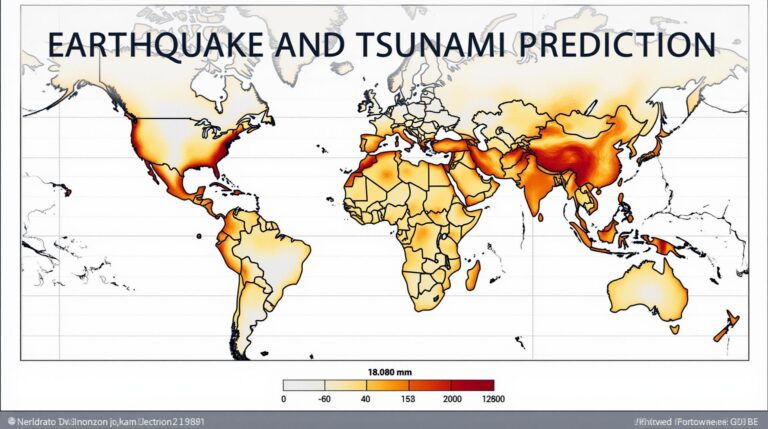
- **Disaster Management:** GeoAI provides vital information by mapping damaged areas after natural disasters like hurricanes, droughts, or wildfires.
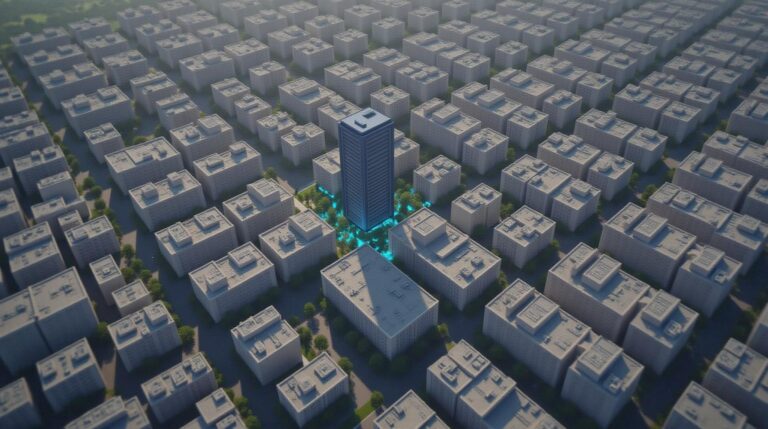
- **Urban Planning and Development:** Monitoring land use changes helps in sustainable urban planning initiatives, guiding infrastructure development and resource allocation.
Some resources you can explore to get started with GeoAI for your land use change detection projects:
- Earthdatahub.org: A platform used for deploying and orchestrating AI for geographic surveillance.
- Sentinel Hub: Specialised in processing Sentinel-2 satellites and its data.
- Google Maps: Great for initial free analysis and data exploration.
Conclusion
The future of environmental research, land use management, and disaster response looks incredibly bright due to the advancements of GeoAI. As research efforts continue, we may even access personalized insights and predictions through AI-powered applications, empowering us to make informed decisions and build a more sustainable tomorrow.
## AI-Land Use Change Detection Satellite: FAQs
**What is AI-Land Use Change Detection Satellite?**
AI-Land Use Change Detection Satellite utilizes advanced artificial intelligence (AI) techniques to detect changes in land use. It analyzes satellite imagery to identify shifts in land cover, such as deforestation, urbanization, or agricultural expansion, empowering efficient decision-making.
**Availability and Licensing:**
* **Availability**: The AI-Land Use Change Detection Satellite service is commercially available. Details about pricing models, licensing options, and data acquisition access can be found on [https://www.your-company-website.com/ai-land-use]
* **Licensing:** Licenses for access to the satellite’s data and advanced algorithms are available upon consultation with the service provider. You can find more information at [https://www.your-company-website.com/ai-land-use]
**Formats Available**
* **Raw Data**: You can access raw, unprocessed satellite imagery data in several formats:
* GeoTIFF – A popular format that allows flexible image manipulation with popular software. More information
* HDF5 – Suitable for large datasets ideal for a variety of commercial and scientific use. More information
* **Processed Data**: On request, processed visuals and analysis are available in ready-to-use formats like:
* Jung’s Land Cover MapShp (.shp) – Ideal for visualizing land cover change visually. More information
**How to Use AI-Land Use Change Detection Satellite:**
* **Access Publications and Reports:** Utilize publicly available publications and third-party reports for insights into application and examples.
* **Consultation:** Contact the providers who offer access to the AI-Land Use Detection service for tailored guidance on data acquisition, manipulation, and application.
* **Data Visualization and Analysis:** The services platform allows you to download the data, extract specific details, and analyze the changes documented within it.
* **Predictive modeling:** Advanced AI features foster the development and deployment of predictive models for future land-use changes, aiding preparation against possible impacts.
**What are the Benefits of Using AI-Land Use Change Detection Satellite?**
This technology offers a multitude of benefits in various fields:
* **Environmental Monitoring:** Track deforestation, pollution, and biodiversity loss, ultimately aiding conservation efforts. More Information
* **Urban Planning and Development:** Assess urban sprawl, biodiversity loss, and urban blight to develop proactive solutions. More Information
* **Agriculture and Resource Management:** Monitor crop health, optimize yields, identify areas for development, effectively managing natural resources.
* **Disaster Response:** Swiftly detect and assess the severity of natural disasters and reallocate resources for effective response and recovery.
**In Summary**
AI-Land Use Change Detection Satellite is an immensely powerful technology. Its impact spans conservation, urban planning, agriculture, and disaster response. The use of this technology provides valuable insights and forecasts to enhance decision-making across multiple domains. Taking advantage of AI-based land-use data provides significant benefits to the environment, our infrastructure, and our future.