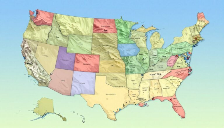
Interactive US Map with States and Capitales 2026
In today’s digital world, visualizing geographical data is key. An interactive map of the US, with states and capitals, is a great way to see the country’s different areas. Key Takeaways This interactive tool lets users dive deeper into the map. It helps them understand the US’s geography better. By showing important features and capitals,…