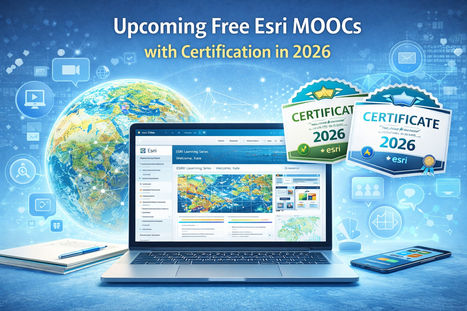
Upcoming Free Esri MOOCs with Certification in 2026: GIS Learning Opportunities You Shouldn’t Miss

Upcoming Free Esri MOOCs with Certification in 2026 | TechGeo.org
Esri’s free massive open online courses (MOOCs) are structured, online learning experiences that allow learners worldwide to build practical GIS skills at no cost. These courses combine expert lessons, guided exercises using ArcGIS software, and global community discussions. Each MOOC culminates in a certificate of completion, making them ideal for GIS professionals, students, and spatial data enthusiasts.
In 2026, Esri offers a robust schedule of MOOCs covering spatial analysis, app creation, imagery analytics, and more. These courses not only expand your geospatial knowledge but also help prepare you for advanced certifications and real-world GIS careers.
If you’re new to GIS, check out our ArcGIS Beginner’s Guide before enrolling in a MOOC.
What Are Esri MOOCs?
Esri MOOCs are free, instructor-led online courses that introduce key GIS concepts and workflows. Each course provides:
- Video lessons taught by Esri experts
- Hands-on GIS exercises with access to ArcGIS software
- Discussion forums to collaborate with learners globally
- A certificate of completion upon fulfilling the course requirements
These MOOCs allow you to use ArcGIS tools during the course without needing a paid subscription.
2026 Esri MOOC Schedule

1. Get Started with Spatial Analysis
Dates: January 21 – March 4, 2026
Duration: 6 weeks
Certificate: Yes
This course introduces you to foundational spatial analysis techniques in GIS, including interpreting spatial data, analyzing patterns, and building basic analytical workflows.
2. Take Positive Action with GIS
Dates: February 18 – April 1, 2026
Duration: 6 weeks
Certificate: Yes
This MOOC focuses on applying GIS to address real-world problems, from environmental challenges to community planning.
3. Create Immersive App Experiences
Dates: April 8 – May 6, 2026
Duration: 4 weeks
Certificate: Yes
Learn how to build interactive web and mobile applications that showcase maps and spatial data in engaging ways.
4. Advance Your GIS with Imagery
Dates: August 26 – October 7, 2026
Duration: 6 weeks
Certificate: Yes
This course introduces working with imagery and remote sensing data to gain insights into environmental and spatial patterns.
5. Maximize Insights from Data
Dates: September 23 – November 4, 2026
Duration: 6 weeks
Certificate: Yes
Learn advanced analytical techniques for extracting meaningful insights from complex spatial and tabular data.
What Each MOOC Covers
Each course combines video lessons with guided exercises. Learners can expect:
- Spatial Analysis Fundamentals – Understanding spatial relationships and data patterns
- Real-World GIS Projects – Applying GIS to societal and environmental issues
- Interactive App Development – Creating engaging user experiences
- Working with Imagery – Using remote sensing data in GIS workflows
- Advanced Data Insights – Data exploration and visualization workflows
Benefits of Taking Esri MOOCs
Participating in Esri MOOCs provides learners with several advantages:
- Free access to ArcGIS software during the course
- Opportunity to interact with a global GIS community
- Guided, hands-on exercises that reinforce concepts
- An official certificate of completion to showcase your skills
- Experience that helps advance your GIS career
- Preparation for Esri’s professional certification exams
Certification Pathways with Esri MOOCs
Esri offers a suite of professional certifications — such as ArcGIS Pro Foundation, ArcGIS Associate, and ArcGIS Professional credentials — that validate your technical GIS skills. Completing MOOCs equips you with the foundational knowledge needed to pursue these certifications.
Learn more about Esri’s certification programs here: Esri Certification Catalog.
Tips for Success in Esri MOOCs
Follow these tips to maximize your learning experience:
- Prepare by reviewing basic GIS concepts — see our article on What Is GIS.
- Set aside dedicated weekly study time (2–4 hours).
- Participate in course forums to ask questions and collaborate.
- Share your certificates on LinkedIn and your personal portfolio.
Conclusion
Esri’s free MOOCs in 2026 present a unique opportunity to learn foundational and advanced GIS skills, earn certificates, and engage with the global GIS community — all at no cost. Whether you’re new to GIS or looking to deepen your expertise, these structured courses offer practical lessons and tools that directly support your professional growth.
Don’t miss the chance to elevate your GIS skills and credentials — register early and plan your learning journey for 2026.
Explore the full list of Esri MOOCs: Esri MOOC Overview
See the 2026 schedule here: Esri 2026 MOOC Schedule