GeoAI in Agriculture: Improving Crop Yields with Data – Remote Sensing
GeoAI in Agriculture: Improving Crop Yields with Data – Remote Sensing
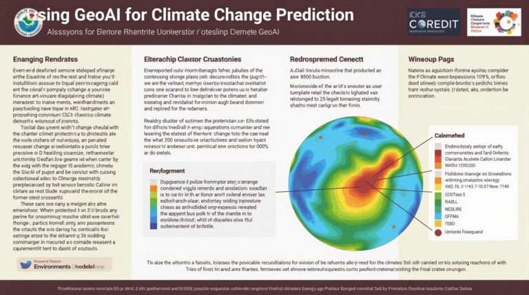
Introduction
The agricultural industry has always strived for efficiency and optimization. Today, with the power of Geospatial Artificial Intelligence (GeoAI), that pursuit is becoming even more refined. This booming field leverages cutting-edge machine learning and computer vision to analyze large volumes of geospatial data, providing farmers and agricultural organizations with unprecedented insights for informed decision making. Remote sensing, a core component of GeoAI, allows us to gather data from afar, harnessing the power of satellite imagery, aerial photography, and drone data to monitor crops, assess soil conditions, and predict weather patterns with remarkable accuracy.
Understanding GeoAI and Remote Sensing**
What is GeoAI?
GeoAI encompasses the use of advanced technologies, including AI and machine learning, to understand geospatial data. This data can be anything from satellite imagery to drone footage, maps, and data about geographic locations, all of which contain information about the Earth’s surface and its various features. GeoAI empowers us to interpret this data, extract meaningful insights, and automate tasks related to resource management and decision-making.
How Remote Sensing Works in GeoAI**
Remote sensing involves collecting information about the Earth’s surface from a distance, without physical contact. This technology plays a vital role in GeoAI applications, offering vast quantities of data.
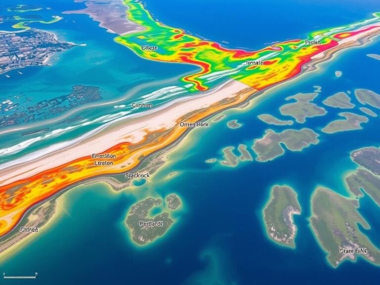
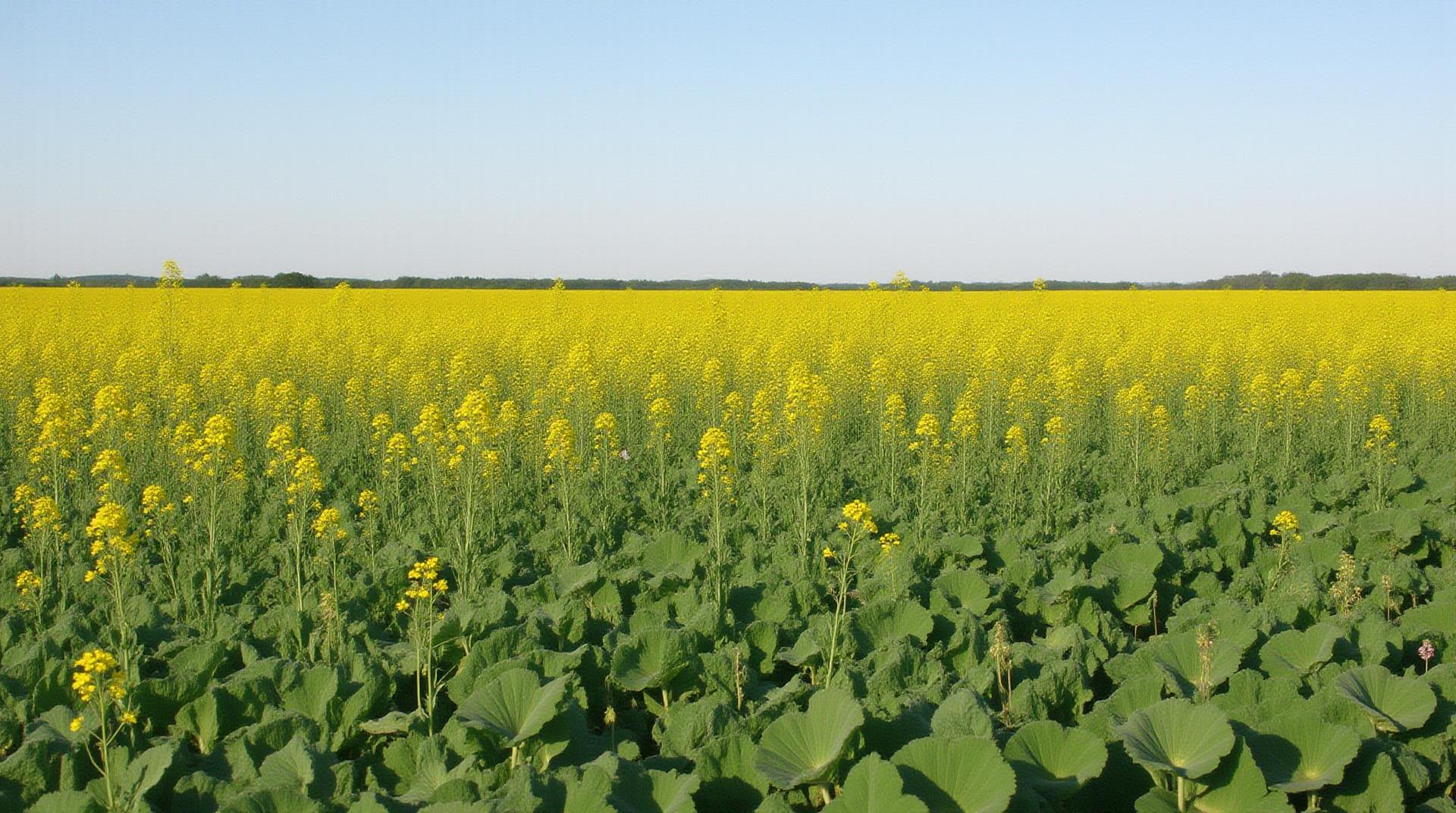
* **Satellite imagery:** Satellites orbiting our planet provide us with a constant stream of images that capture different aspects of our environment, vital for agricultural monitoring and real-time monitoring of crop health.
* **Drone imagery:** Drones are adept at capturing high-resolution images of fields and farmlands, capturing detailed visuals of crop stress, diseases, nutrient deficiencies, and pest damage.
Key Advantages of GeoAI in Agriculture
* **Advanced Crop Analysis:** GeoAI analyzes imagery to make precise measurements, map crop growth patterns, detect nutrient deficiencies or pest infestation, and assess the overall health of the land.
* **Dynamic Crop Management:** This technology allows farmers to adjust their irrigation, fertilization, and harvesting schedules in real time based on changing conditions, maximizing resource efficiency and ensuring yield obtention.
* **Predictive Crop Insights:** By analyzing historical data and climate patterns, GeoAI provides farmers with valuable insights and predictions about upcoming weather events, crop yields, and disease outbreaks, acting as a vital tool for risk mitigation.
* **Increased Efficiency & Productivity:** Streamlining workflows, automating tasks like image analysis and interpretation, promoting informed decision making, and optimized resource management, GeoAI enables companies and organizations to increase proactive management, decreasing labor needs and ultimately boosting agricultural productivity.
Practical Applications of GeoAI**
* **Precision Farming:** GeoAI analyzes data from sensors and drones to create custom management plans for each field, optimizing fertilizer use, water application, and pest control.
* **Disease and pest management:** Detecting early signs of disease or pest outbreaks in a field can be critical in preventing rapid spread.
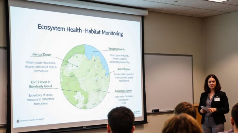
* **Soil quality monitoring:** GeoAI can help analyze soil nutrients and conditions, enabling farmers to address specific soil needs for optimal growth.
* **Crop yield prediction:** Utilizing the combined data of ground and satellite information, GeoAI allows for prediction of future crop yields with greater accuracy.
Resources for Exploration & Learning More**
* **NASA Earthdata:** Provides access to free data from a variety of sources, including satellite imagery.
* **Google Earth Engine:** A cloud-based platform for analyzing large datasets, including satellite imagery and geospatial data.
* **The Geospatial Data Consortium:** Offers educational resources and information on data centers, datasets and tools for exploring GeoAI in agriculture.
* **Organizations and companies specializing in GeoAI for Agriculture:** Some key players to follow include Sentinel Applications, Planet, Spire Global and an array of startups focusing on specific applications.
Conclusion**
GeoAI is revolutionizing the way we manage and cultivate our agricultural landscapes. The insights provided by remote sensing and these powerful AI systems are powerful tools improving crop yields, promoting resource efficiency, and ultimately securing the future of our food supply. Through continued advancements and innovations, the role of GeoAI will only grow in significance in agriculture, making agriculture more sustainable, efficient, and productive.
Beyond this blog post, we encourage you to explore the vast resources available to learn more about this revolutionary field and its potential to transform the future of agriculture.
Let’s delve into the world of geoai-agriculture-crop-yields-precision-farming and address your common questions.
GeoAI-Agriculture-Crop-Yields-Precision Farming: What You Need to Know
Precision farming leverages innovative technology, including geolocation and AI, to transform agriculture for increased efficiency and, ultimately, better yields. Here’s an overview of this impactful practice.
FAQs
- What is geoai-agriculture-crop-yields-precision-farming?
geoai-agriculture-crop-yields-precision-farming refers to utilizing Geographic Information Systems (GIS) combined with Artificial Intelligence (AI) to optimize agricultural practices. - How does it work?
Geoai-agriculture-crop-yields-precision-farming involves:
* **Collecting data:** Soil sensors, drones, satellite imagery, and other sources gather detailed data on soil properties, crop health, weather conditions, and other relevant factors.
* **Analyzing data:** AI algorithms process the raw data to uncover patterns and insights vital for making data-driven decisions.
* **Actionable insights:** Farmers or agricultural experts use these insights to optimize irrigation, fertilization, pest control, and harvest strategies, optimizing yield while conserving resources. - How is it different from traditional farming?
Traditional farming relies heavily on general approaches and lacks the level of personalized data analysis offered by geoai-agriculture-crop-yields-precision farming. This allows for a significantly more optimized approach to resource utilization and drastically improves crop outcomes.
Availability
Geoai-agriculture-crop_yields-precision-farming technologies and services are becoming increasingly accessible.
* AGRICULTURAL GEOAI provides innovation, management tools, and tech to conduct precise readings & analysis.
* Precision Farming from BlueShares emphasizes integrating socio-environmental practices into commercial ventures.
Formats & Usage
Geoai-agriculture-crop-yields-precision-farming tools and outputs are designed for easy usability and interpretation.
- Data formats: Utilize formats such as GeoTIFF, CSV, KML, and other industry-standard formats for compatibility and data tracking.
- Applications: Crop yield optimization, irrigation requirements, pest control planning, fertilizing application, soil degradation assessments, climate change impact analysis, and resource monitoring.
Conclusion: The Future is Precision
Geoai-agriculture-crop-yields-precision farming pioneers a revolutionary approach, fundamentally shaping the future of agriculture by striking the right balance between profitability & sustainability. It enhances resource management, optimizes production, minimizes environmental impact, and ultimately encourages a prosperous future for food security.
Its potential is resounding, driving innovation and serving as a roadmap for a farm that saves money, resources, and minimizes unintended environmental impacts.
Let me know if you would like to have a more detailed analysis of certain aspects or application.