GeoAI and Artificial Intelligence for Autonomous Vehicles – Self-driving Cars
GeoAI and Artificial Intelligence for Autonomous Vehicles – Self-Driving Cars
What is GeoAI, and how does it power autonomous vehicles?
The world of self-driving cars involves a fascinating convergence of Artificial Intelligence (AI) and Geospatial data. GeoAI, or Geographical Artificial Intelligence, is the application of AI technologies to geographical data to solve real-world problems. In the case of autonomous vehicles, it plays a crucial role in enabling safer, more efficient, and reliable self-driving systems. **
Key Features of GeoAI for Autonomous Vehicles:
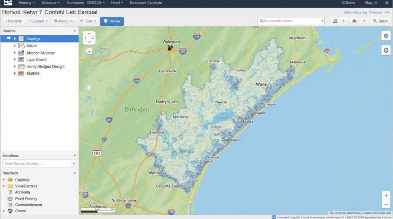
* **Mapping and Localization Accuracy:** GeoAI algorithms can generate highly accurate maps of the real world, often incorporating 3D models and lidar data, providing vehicles with a realistic understanding of their surroundings (including pedestrian movements, traffic density, and road changes) and enabling accurate location tracking within complex landscapes.
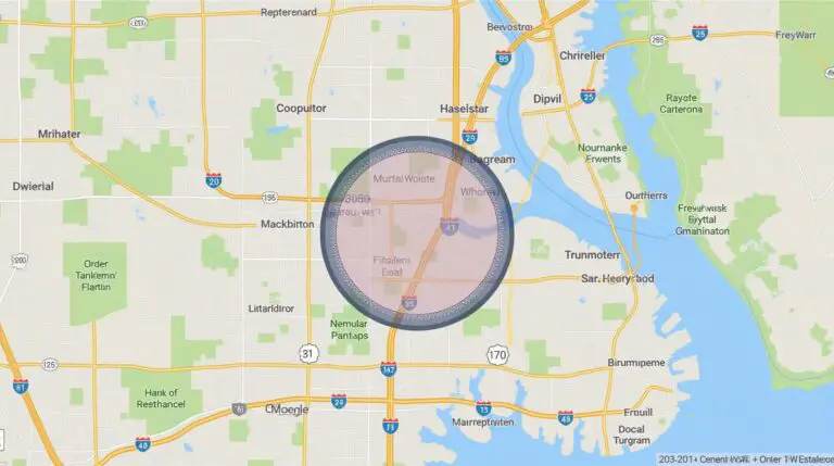
* **Route Planning Optimization:** GeoAI integrates real-time traffic data and changing road conditions, while considering multiple factors like pedestrian crossings, bus stops, and events, to identify the fastest and safest routes dynamically.
* **Obstacle detection and avoidance:** GeoAI utilizes advanced algorithms, including computer vision, object recognition, and machine learning, to identify obstacles like pedestrians, cyclists, other vehicles, and road signs in real-time . This helps self-driving cars make essential decisions to avoid collisions or navigate around them safely.
* **Real-Time Environmental analysis:** GeoAI aids in understanding weather conditions, road surface changes, and even potential risks like flooding, offering valuable indicators for AI to make informed decisions.
Benefits of GeoAI in Autonomous Vehicles
* **Enhanced safety:** GeoAI helps self-driving cars avoid accidents by providing more accurate information about the environment in real-time.
* **Increased operational efficiency:** Improved route planning and obstacle avoidance translate to reduced time wasted on traffic jams and detours, as well as smooth and consistent driving patterns.
* **Personalized driving experience:** GeoAI can personalize driving experiences by considering individual preferences, traffic patterns, and popular destinations.
* **Sustainability:** Optimized route planning and real-time environmental analysis can contribute to fuel efficiency and reduced driving emissions.
Practical Applications of GeoAI in Autonomous Vehicles
* **Automated navigation:** GeoAI enables self-driving cars to effectively navigate complex urban environments, adapting to different driving situations unlike traditional navigation systems that rely primarily on offline maps.
* **Traffic management:** GeoAI assists in smart traffic systems, optimizing traffic flow, preventing congestion, and predicting traffic patterns to improve traffic management strategies.
* **Infrastructure management:** GeoAI can help track infrastructure conditions, manage road maintenance and repair, and monitor the impact of infrastructure changes on autonomous vehicle navigation.
Resources for Learning More About GeoAI and its Applications in Autonomous Vehicles:
* **Conference Proceedings and Journals:** The International Journal on Geographic Information Science and Technology (IJGIS) and the IEEE Transportation Electrification Conference (TEC) often publish research articles and invited papers related to GeoAI in transportation.
* **Online Courses and Workshops:** Platforms like Coursera, Edx, and Udemy offer online courses and workshops that delve deeper into GeoAI concepts and applications.
* **Industry Events:** Attend conferences, seminars, and workshops dedicated to the intersection of AI and transportation, where experts share insights, updates, and cutting-edge research on GeoAI and autonomous vehicles.
## Conclusion
GeoAI and AI are playing a vital role in the evolution of autonomous vehicles. As this technology continues to progress, we can expect even more sophisticated applications enabling truly autonomous, safe, and efficient driving systems in the future.
## GeoAI Advanced Driver-Assistance System (ADAS) – FAQs
### **What is GeoAI in the context of autonomous vehicles?**
GeoAI, short for Geographic Artificial Intelligence, facilitates autonomous vehicles by extracting valuable data and insights from geographic information. This includes understanding the local environment, planning routes, making route deviations, and integrating real-time traffic data for safer and smoother driving experiences.
### **What are the various capabilities of GeoAI in autonomous vehicles?**
GeoAI brings numerous benefits to autonomous vehicle development:
* **Navigation Efficiency:** GeoAI assists self-driving cars in planning optimized and efficient routes, taking into account factors like traffic patterns, road closures, and weather conditions.
* **Situational Awareness:** GeoAI can analyze real-time data from sensors and map systems, providing 3-D visual and spatial awareness to the vehicle. This information helps address potential hazards, predict future events, and enable safer maneuvering.
* **Route Optimization:** Existing and new infrastructures like highways, pedestrian crossings, parking areas, and scenic routes can be better understood for smoother navigation.
* **Traffic Jam Mitigation:** GeoAI algorithms can process real-time traffic data to anticipate and navigate around traffic jams, significantly improving ride comfort and avoiding delays.
### **How does GeoAI improve traffic safety?**
By dynamically adapting to unforeseen traffic situations and enhancing situational awareness, GeoAI reduces the likelihood of collisions, errors caused by human factors, and promotes responsible and secure driving.
### **What formats are used in GeoAI for autonomous vehicles?**
GeoAI utilizes multiple formats to convey geographic data and navigation information to autonomous vehicles.
* **OpenStreetMap (OSM):** An open-source data source for geographic information, providing maps, route details, and other relevant data.
* **Vector Maps:** Structured data making up the “raw” data of a map feature like roads, buildings, and landmarks.
* **JSON (JavaScript Object Notation):** This format is widely used for exchange of various information, including configuration data, object locations, and data to be processed within the autonomous vehicles.
### **What are the challenges with GeoAI in autonomous vehicles?**
Various factors can impact the development and implementation of GeoAI:
* **Data accuracy and completeness:** Incomplete or inaccurate data can lead to the development of incorrect navigation routes or unexpected challenges, so proper data management and rigorous corrections are vital.
* **Real-time data acquisition:** Achieving real-time data updates from various sources like GPS, cameras, and radar can be resource intensive and require dedicated processing power.
* **Model training:** Developing robust AI models to interpret complex real-world data and accurately represent geographic information in the context of autonomous driving is a challenging task.
### **Can GeoAI be integrated into existing vehicles?**
Current applications of GeoAI in AVs are primarily aimed at developing comprehensive geo-AI solutions specifically for self-driving technology. However, many existing cars can leverage GeoAI through diverse functionalities like route planning, traffic updates, and navigation features.
### **Summary:** GeoAI holds immense potential for shaping the future of autonomous vehicles, allowing for intelligent, safer, and more efficient navigation experiences. Through continuous development, countries can leverage geo-AI to enhance mobility and improve our cities with fully autonomous vehicles in the coming years.