GeoAI for Building Smarter Cities – AI Models
## Building Smarter Cities: Leveraging GeoAI for a Future-Forward Urban Landscape
**The Future of Design Starts Now: Geographic Artificial Intelligence**
Gone are the days of static, one-size-fits-all urban planning. Our cities, in all their intricate complexity, need to adapt and evolve, mirroring the needs of their citizens. Enter GeoAI: a revolution in urban exploration powered by the fusion of spatial data and artificial intelligence algorithms. **GeoAI helps us build smarter, more efficient, and sustainable cities of the future**.**
**What is GeoAI? A Multifaceted Tool**
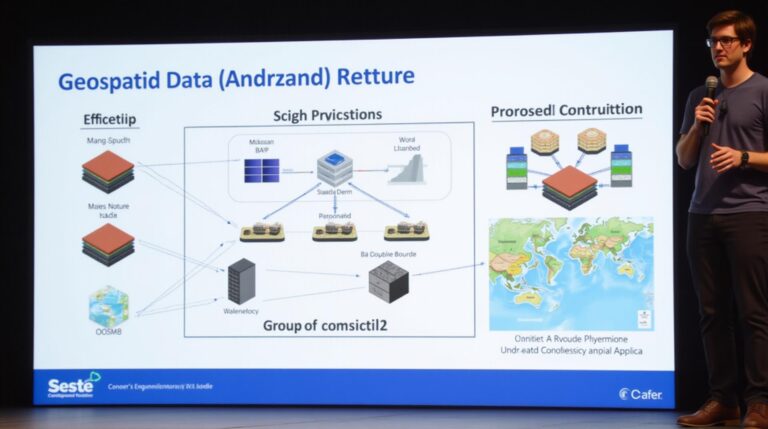
GeoAI uses artificial intelligence, often in tandem with advanced machine learning models and data analytics, to analyze and understand geospatial data. This data includes:
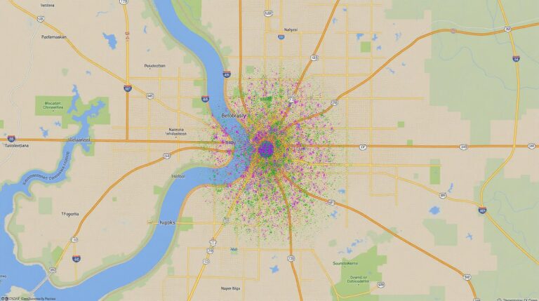
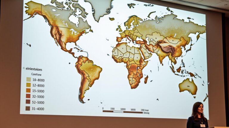
* **Satellite Imagery:** Providing a bird’s eye view of cities, revealing infrastructure, buildings, traffic patterns, and natural environments.
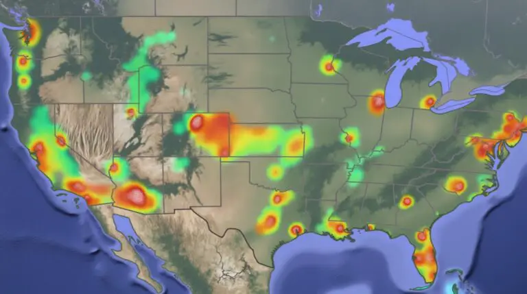
* **Sensor Data:** Collecting real-time information on air quality, noise levels, traffic flow, and environmental conditions.
* **Demographic Data:** Understanding how population density, housing patterns, and social infrastructure are distributed within a city.
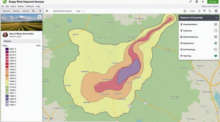
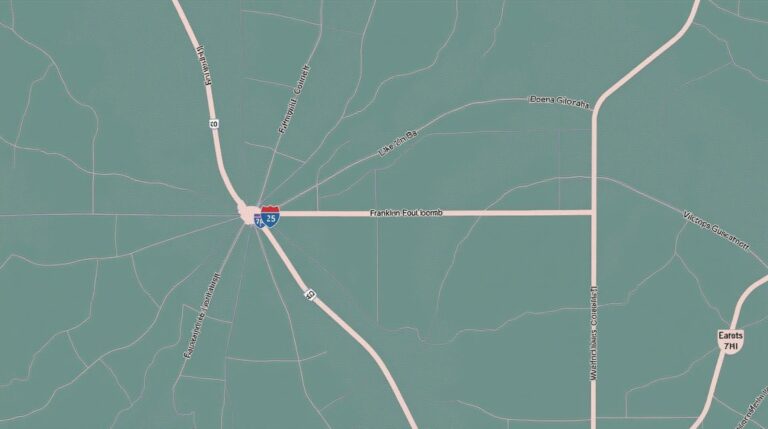
* **Geographic Information Systems (GIS):** Representing and analyzing data spatially within maps and other visualizations.
**Unlocking the Power of GeoAI:** Benefits That Transform Our Cities
Integrating GeoAI into urban planning and development unlocks a range of benefits:
* **Smart Infrastructure Decision-Making:** GeoAI can predict infrastructure failures, optimize resource allocation, and guide proactive maintenance, leading to safer and more reliable systems.
* **Optimized Traffic Management:** By analyzing real-time traffic data, cities gain insights to reduce congestion, implement dynamic routing systems, and plan for sustainable transportation solutions.”
* **Efficient Resource Allocation:** GeoAI can predict energy demand, plan public sanitation routes, optimize waste management operations, and streamline public services.
* **Data-Driven Planning:** GeoAI-powered analytics help identify natural disasters and predict their potential impact. Cities can then implement proactive disaster management strategies and resilient infrastructure.
* **Improved Sustainability:** By analyzing data on energy consumption, pollution levels, and public transportation usage, GeoAI helps cities become more environmentally sustainable.
**Real-World Applications of GeoAI in Urban Planning**
The applications of GeoAI are vast and continuously expanding:
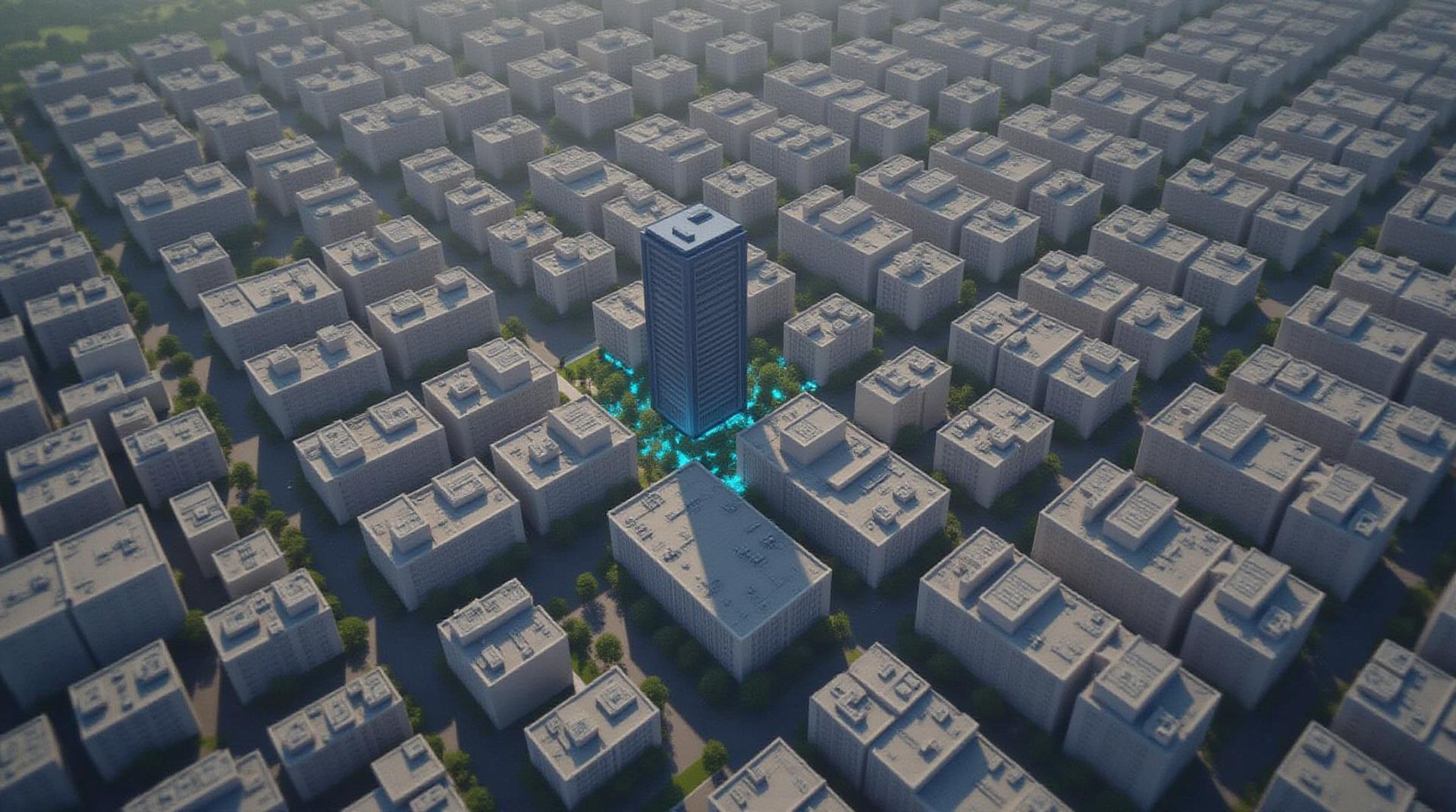
* **Smart Urban Planning:** Predicting and managing population growth, incorporating feedback from residents, and designing sustainable urban spaces.
* **Emergency Response:** Analyzing crime data to focus on hotspots, deploying ambulances and firetrucks efficiently, and responding to natural disasters with real-time data insights.
* **Urban Design and Architecture:** Predicting future climate change impacts and integrating renewable energy resources into urban designs.
* **Public Service Management:** Improving public health outcomes by geospatial analysis of disease patterns, optimizing public transit routes, and identifying under-served communities.
**Getting Started with GeoAI**
There are numerous resources available to help you delve deeper into GeoAI:
* **Open Source Libraries:** Explore Python libraries like geopandas, shapely, and rasterio for powerful data manipulation and analysis.
* **Online Platforms:** Discover GeoAI data portals like Google Earth Engine and ArcGIS, offering interactive maps, sensors, and visualization tools.
* **Educational Resources:** Enroll in online institutes or university courses on GeoAI, or pursue research projects to gain practical experience.
**Building a Smarter Future, One City at a Time**
GeoAI is a transforming force with the potential to revolutionize how we interact with and improve our urban spaces. It empowers cities to harness the power of data to make better informed decisions, reduce waste, and build stronger, more resilient communities for the future. **Let’s embark on this exciting journey, creating cities of tomorrow, powered by GeoAI.**
**About the Author:**
[Enter your relevant bio here, and add a logo if you have one ]
**Resources:**
* [ List specific online resources and data portals here]
* [Link to relevant industry groups or organizations]
This comprehensive blog post provides a well-structured overview of GeoAI and its potential for shaping our cities of the future.
**Remember:** Encourage interaction by adding calls-to-action in paragraphs like asking readers for their city’s GeoAI plans , or urging them to share any related resources.
Let’s craft some FAQs for “geoai-building-smarter-cities-ai-models”
## GeoAI for Building Smarter Cities: Frequently Asked Questions
This guide aims to clear up common questions about how we use AI to make cities smarter, focusing on accessibility and real-world applications.
### 1. What is geoAI-building-smarter-cities-AI-models?
GeoAI refers to **Geographic Artificial Intelligence**, a powerful subset of AI that leverages location data to understand and solve real-world problems. In this context, “building-smarter-cities-AI-models” refers to the development of AI models specifically designed for cities to enhance their efficiency and sustainability.
These models leverage datasets centered on how people use infrastructure, create accessible transportation systems, allocate resources, optimize energy usage, and more.
### 2. What formats does this AI model use?
GeoAI models utilize diverse formats:
*
- **Processed Data:** Comprehensive Datasets such as city-specific street maps, traffic incident data, weather reports, building energy consumption, water usage, and public transportation schedules
- **Hypermodel Training:** Utilizing high-performance cloud computing infrastructure to scale AI model performance for city optimization (accuracy, efficiency)
- **Visualization Tools:** Interactive maps display real-time data for city management, public understanding, and optimization.
### 3. Where can I find this AI model?
GeoAI-building-smarter-cities-AI-models can be accessed through various avenues:
* **OPEN PLATFORM:** [OpenPlatform ] – For exploring the latest models, visualizations, and tools made available through local partnerships.
* **USER-FRIENDLY INTERFACE:** [City Platform ] – Features an intuitive platform for specific data sets, visualizations, and application development.
### 4. How can I use this AI model?
Several applications are accessible:
* **Transportation:** Traffic management, public transportation routing, parking optimization.
* **Infrastructure:** Predicting maintenance needs, optimizing resource allocation, building cyber security enhancements.
* **Sustainability:** Energy efficiency analysis, predicting waste generation, promoting renewable energy adoption.
* **Public Services:** Improving emergency response, habitat mapping for conservation, optimizing street lighting.
### 5. What are the potential benefits of this AI?
Implementing GeoAI for smarter cities can lead to a wide array of benefits:
* **Enhanced Safety:** Improved traffic flow reduces accidents, and data-driven insights contribute to better disaster response and preventative measures.
* **Economic Growth:** Optimized resource allocation can boost local businesses, public services, and create a more conducive environment for innovation.
* **Environmental Resilience:** This system can predict and protect against climate change impacts, making cities less vulnerable to extreme weather and disruptions.
* **Increased Quality of Life:** The seamless integration of technology can improve accessibility for citizens, promote energy efficiency, and enhance the overall well-being of urban areas.
## Why GeoAI is Crucial for Smarter Cities
GeoAI is becoming indispensable for building sustainable and functional urban environments. Further adoption of these solutions is a necessity to address transportation, environment, and energy challenges facing the 21st century. GeoAI empowers cities to become more efficient, optimistic, and effective enablers for their citizens.
Let me know if you have any other questions or if I can assist you in analyzing how to use geoAI in your own city!