How GeoAI Enhances Remote Sensing Data Analysis – Object Detection
How GeoAI Enhances Remote Sensing Data Analysis – Object Detection
Remote sensing plays a crucial role in various fields, including agriculture, forestry, disaster management, and environmental monitoring. The abundance of satellite and aerial imagery offers valuable insights, but analyzing this vast data can be challenging. This is where GeoAI emerges as a powerful tool. GeoAI combines the power of artificial intelligence (AI) with the target-specific analysis of geographical data, unlocking unprecedented insights and automating processes.
What is GeoAI?
GeoAI, simply put, is the use of AI technologies to analyze, understand, and extract value from geographically integrated data. It leverages techniques like machine learning, computer vision, and spatial analysis algorithms, empowering us to understand complex relationships between spatial and non-spatial data sources.
Key Features of GeoAI
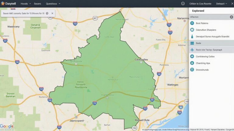
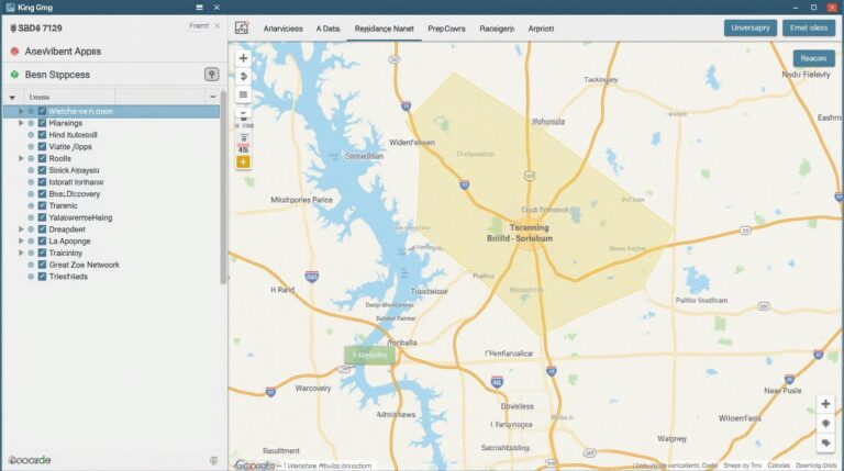
* **Precise Localization:** GeoAI algorithms excel at pinpointing locations precisely, even in areas with high complexity like forests or urban landscapes. This accuracy is crucial for tasks like parcel mapping, urban planning, and disaster response.
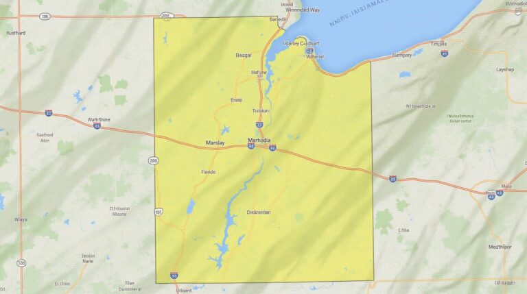
* **Multi-source Data Integration:** GeoAI integrates data from various sources, such as satellite imagery, aerial photography, and LiDAR scans, to build comprehensive and impactful insights.
* **Automation and Efficiency:** The quantitative nature of GeoAI allows it to automate numerous tasks, including image segmentation, object identification, and change detection, significantly increasing the efficiency of data analysis.
Benefits of Using GeoAI:
* **Improved Accuracy:** Destinations, species, and objects within the data can be identified with greater precision, allowing for more reliable management decisions.
* **Reduced Labor Costs:** Automating tasks previously requiring human analysts reduces cost and empowers analysts to focus on extracting higher-level insights.
* **Enhanced Decision-Making:** Improved location and event identification enables more informed decisions about environmental interventions, urban planning, and resource management.
* **Real-Time Monitoring:** GeoAI fuels real-time monitoring of critical factors, allowing for immediate adjustments to responses in emergencies or dynamic scenarios.
Object Detection in GeoAI
Object detection is a key task for interpreting remote sensing data. This involves identifying and classifying objects within images, creating tailored representations optimized for further analysis. Here’s how GeoAI elevates this field:
- Enhanced Accuracy: GeoAI algorithms can overcome challenges like occluded objects or changing lighting conditions, delivering more reliable and accurate object detection.
- Scale and Scope: GeoAI can isolate objects across a wide scale, from areas as small as individual cells to landscapes on a global scale.
- Data Specificity: GeoAI aspects can be tailored to specific research objectives, like analyzing vegetation health, or identifying construction hazards.
Practical Applications of GeoAI:
* **Agriculture:** Detecting crop types, identifying disease outbreaks, and monitoring water usage.
* **Forestry:** Analyzing deforestation patterns, identifying forest health, and monitoring wildlife habitat.
* **Disaster Management:** Detecting and tracking natural disasters, assessing flood impact, and helping reconnect disaster affected populations.
* **Urban Planning:** Identifying building risks, analyzing city transportation patterns, and optimizing public services delivery.
* **Infrastructure Management:** Monitoring infrastructure damage, analyzing road conditions, and forecasting potential maintenance needs.
Resources for Learning More
* Esri: Esri is a provider of GIS and GeoAI information technology that provides comprehensive applications and expertise.
* Predictive Intelligence: This organization focuses on features and capabilities of AI and Machine learning in climate change, business, and sustainability, making it excellent for customers and business leaders looking for real-world examples.
* Google Co-lab: A website that contains a vast array of free training datasets, tutorials, and notebooks to explore the world of computer vision.
**Conclusion**
GeoAI revolutionizes the way we analyze and work with geographic data. With the ability to automate complex tasks and pinpoint targets with accuracy, GeoAI streamlines data analysis, gives us deeper insights into our world, and enhances our ability to tackle key challenges. As the field continues to evolve and expand, its potential for shaping our future continues to grow.
## **GeoAI-Enhanced Remote Sensing Object Detection: FAQs**
This section aims to answer common questions about GeoAI-enhanced Remote Sensing Object Detection.
***
What is GeoAI-enhanced Remote Sensing Object Detection?
GeoAI-enhanced Remote Sensing Object Detection is a powerful technique that uses artificial intelligence to automatically identify and classify specific objects within satellite images organized into layers.
What kinds of objects can be identified?
GeoAI-enhanced Remote Sensing Object Detection is capable of identifying various objects across different domains:
What are the benefits of using this technology?
GeoAI-enhanced Remote Sensing Object Detection offers several advantages:
- **Enhanced accuracy:** GeoAI improves the accuracy of object detection, surpassing traditional methods.
- **Faster processing:** The AI-driven process efficiently identifies objects quickly.
- **Reduced human effort:** Automates object detection, freeing human analysts for more complex tasks.
How is it used?
This technology can be integrated and used in a variety of ways.
- **Data analysis:** For researchers in various fields, such as agriculture, environmental monitoring, urban planning, and disaster response.
- **Monitoring change over time:** By analyzing the captured data over time, it can be used to track changes in various features or populate databases for deeper observation.
- **Task automation:** AI-powered object detection software is well-suited for automating tasks, such as count and identification in aerial imagery and satellite data.
What is GeoAI needs to be used?
GeoAI requires the use of remote sensing data. Each GeoAI-enhanced Object Detection system needs its own datasets.
***
# **Summary and Actionable Insights**
GeoAI-enhanced Remote Sensing Object Detection plays a pivotal role in revolutionizing several key processes like land management, infrastructure development, and environmental monitoring. Its ability to automatically detect and classify features (e.g., buildings, roads, forests) in remote sensing data provides powerful insights for decision-making in various industries and applications.
**Here’s how to get started:**
- Explore existing GeoAI platforms to initiate your own project.
- Invest time in understanding the basics of remote sensing and AI.
Using this technology can revolutionize our understanding of the environment and patterns of human activity, empowering cleaner and more focused environments and helping you gain crucial insights.
***