GeoAI in Environmental Monitoring – Climate Change
GeoAI in Environmental Monitoring: Combatting Climate Change Through Powerful Data
### Introduction: Mapping Our Path to Sustainability
Climate change poses an unprecedented challenge to our planet. Rising temperatures, extreme weather events, and habitat destruction are ongoing consequences. To effectively address these challenges, we need innovative and collaborative approaches. Enter GeoAI, which combines the power of data with geographic information to offer impactful solutions for environmental monitoring.
### Understanding GeoAI: The Art of Intelligence in Motion
GeoAI, also known as geospatial artificial intelligence, harnesses the strengths of both AI and geographic information systems (GIS). It utilizes advanced algorithms and machine learning to analyze and extract knowledge from large datasets of geographic information, including maps, satellite imagery, and sensor data. This rich tapestry of data empowers us to understand the complexities of the Earth’s environment.
### Key Features of GeoAI for Environmental Monitoring:
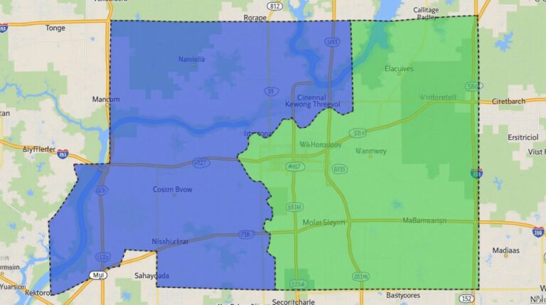
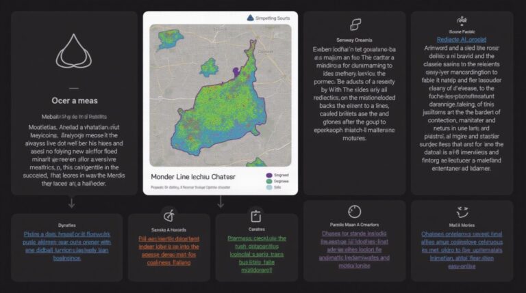
* **High-resolution data capturing:** GeoAI seamlessly integrates imagery from satellites, drones, and aerial vehicles. By analyzing these high-resolution images, it can identify subtle changes in land cover, vegetation health, and water quality.
* **Predictive Analytics:** GeoAI models can simulate environmental processes, predicting the likelihood of flooding, drought, wildfires, and increased disease outbreaks.
* **Dynamic Analysis:** GeoAI can monitor and track environmental events throughout their lifecycle, offering valuable insights for policy-making, conservation efforts, and disaster response.
### Benefits of Employing GeoAI: Transforming Environmental Monitoring
* **Early Warning Systems:** GeoAI can be used to create advanced early warning systems for floods, wildfires, and other natural disasters. By analyzing real-time data, these systems can alert communities in time, minimizing damage and ensuring safer responses.
* **Resource Management:** GeoAI can optimize water and resource usage by monitoring and analyzing water distribution, weather patterns, and soil properties. This helps improve irrigation efficiency, ensure sustainable water management, and reduce wastage.
* **Predicting Climate Impacts:** GeoAI can predict the long-term impacts of climate change on ecosystems, agricultural land, and coastal communities, enabling proactive planning for adaptation and mitigation strategies.
* **Environmental Risk Assessment:** GeoAI can identify potential environmental risks, such as invasive species spreading or pollution sources emerging. This empowers governments and organizations to prioritize conservation efforts and develop stricter regulations.
### Applications of GeoAI in Real-World Effect:
* **Revegetation and Biodiversity:** Analyzing satellite data helps identify suitable vegetation for restoration projects and tracks the success of regreening efforts, fostering environmentally-conscious conservation plans.
* **Coastal Ecosystem Monitoring:** GeoAI analyzes real-time and historical sea level data to monitor coastal erosion, track plastic pollution, and predict the displacement of certain marine species.
* **Carbon Emissions Monitoring:** GeoAI integrates satellite images with ground-based sensors to map deforestation, identify carbon sinks, and monitor carbon dioxide levels, enabling proactive strategies for climate change mitigation.
### Resources for Further Exploration:
* **UN Environment Programme (UNEP):** https://www.unep.org/
* **USGS Earth Resources Observatories:** https://earthobservatory.nasa.gov/
* **Open-source Geospatial Platforms:** https://geospatial.org/
### Conclusion: The Future of Environmental Monitoring with GeoAI
GeoAI is transforming the way we understand and address global environmental challenges. By offering rapid, data-driven insights into our planet’s processes, it empowers us to face climate change head-on. Through ongoing research, technological advancements, and collaborative efforts, GeoAI holds the potential to become an invaluable tool for environmental sustainability and renewable resource management, paving the way for a healthier, more thriving planet.
## GeoAI for Environmental Monitoring and Climate Change: FAQs
**What is geoAI for Environmental Monitoring and Climate Change?**
GeoAI utilizes artificial intelligence and geography to seamlessly analyze environmental data, providing valuable insights into climate change impacts. It combines geographic information systems (GIS), satellite imagery, machine learning algorithms, and big data to help:
* **Predict climate events:** Identify and forecast potential threats like floods, wildfires, and heat waves.
* **Monitor environmental changes:** Track deforestation, glacier melt, ocean acidification, and soil depletion.
* **Analyze and manage disasters:** Assess damage, allocate emergency resources, and inform evacuation procedures.
**What are the formats and data available through geoAI tools?**
GeoAI tools use a variety of formats, including:
* **Satellite imagery:** NASA’s Earth Observation data, MODIS & Sentinel satellite data, and others are accessible as image types like JPEG, GeoTIFF, and HDF5.
* **GIS datasets:** Data stored in geographic databases like shapefiles, geoJSON, and KML.
* **Sensor data:** Real-time data from air quality sensors, weather stations, and various monitoring networks.
* **Text and metadata:** Information relating to environmental events, historical records, and research findings.
**How do I access geoAI tools and datasets?**
Many government agencies, non-profits, and private companies offer access to these tools and related data through free and paid platforms. You can also explore:
* **Open-source platforms:** OpenGeoai.org promotes collaboration and free resources for developing and sharing GeoAI applications.
* **GeoAI marketplaces:** Clustered Technologies Marketplace offers a database of geoAI tools and services.
* **Government agency portals:** Look at websites like those of NASA, NOAA, and USGS for relevant data resources.
**What are some examples of how geoAI is being used for climate change research and mitigation?**
* **Predicting future climate scenarios:** Monitoring glacier size and ice melt, understanding the impact of rising temperatures on ocean circulation, analyzing dust and pollution emission patterns from industry and transportation.
* **Assessing environmental consequences of climate change:** Evaluating deforestation, identifying vulnerable communities, understanding effects of changing weather systems and extreme weather events on land and water resources.
* **Developing climate adaptation strategies:** Optimizing use of resources, promoting sustainable infrastructure, designing effective disaster management strategies, protecting biodiversity in changing environments.
## Importance and Actionable Insights for GeoAI for Environmental Monitoring
GeoAI for environmental monitoring plays a critical role in understanding and addressing the challenges of climate change. By leveraging powerful AI and geographical data, this technology provides real-time insights for prediction, analysis, and crisis response.
Here are some actionable insights for incorporating geoAI into your work:
1. **Invest in training:** Develop your skills in GIS, data science, and AI to unlock the full potential of geoAI tools.
2. **Promote data accessibility and sharing:** Advocate for free and easy access to relevant data and collaborate with other researchers and practitioners.
3. **Mitigate the biases:** Understand potential biases in data and take steps to minimize their impact on the results and conclusions drawn.
4. **Prioritize sustainable practices:** Ensure that GeoAI projects are developed and utilized responsibly, promoting environmental sustainability and ethical systems.
GeoAI for environmental monitoring offers unprecedented opportunities to combat climate change and ensure a sustainable future. By continuing to develop and implement this technology, we can move towards a more informed and resilient planet.
***