How GeoAI Improves Urban Planning – Smart Cities
How GeoAI Improves Urban Planning – Smart Cities
The future of cities lies in smart development, and Geospatial Artificial Intelligence (GeoAI) is playing a pivotal role. Transforming how we understand, manage, and plan our urban spaces, GeoAI offers unparalleled insights and opportunities for creating more efficient, sustainable, and inclusive cities.
What is GeoAI and its Key Features?
GeoAI leverages the power of artificial intelligence alongside geographic information systems (GIS). This means analyzing vast datasets that often reside in geographically tagged locations, providing intelligence about surface features, locations of points of interest, and other spatial data. Key characteristics include:
- **Comprehensive Spatial Data Integration:** GeoAI integrates multiple data sources, including satellite imagery, GIS layers, sensor data, social media feeds, and even crowdsourced information.
- **Algorithmic Power:** AI algorithms (machine learning, deep learning) enable pattern recognition, predictive analytics, and intelligent decision-making.
- **Data Visualization:** GeoAI allows for effective visualization and communication of spatial data, making it easier for humans and machines to comprehend.
- **Continuous Evolution:** Machine learning algorithms constantly adapt and improve as new data is inputted, pushing the boundaries of intelligence.
How Does GeoAI Revolutionize Urban Planning?
GeoAI offers a range of benefits for urban planning, bringing about positive change and creating smarter, more effective cities. Here’s how:
* **Predictive Modeling for Future Growth & Density:** GeoAI can forecast population density, identify areas for development, and even predict the impact of planned infrastructure projects. This allows planners to assess potential impacts and ensure positive outcomes for the community.
* **Optimizing Resource Allocation:** GeoAI aids in efficient allocation of resources like water, energy, and transportation infrastructure. By understanding spatial needs and potential limitations, we can improve allocation and supply chain management within a city.
* **Urban Safety and Resilience: ** Utilizing real-time traffic data, congestion predictions, and incident mapping, GeoAI provides valuable input for effective disaster response. It can optimize emergency services response times and improve safety in urban environments.
* **Enhancing Public Service Delivery**: GeoAI helps streamline citizen communication, providing tailored information and addressing potential issues proactively. Deploying official data in real-time allows immediate feedback to communities to maximize service provision.
* **Driving Sustainable Practices:** GeoAI enables sustainable city development by identifying potential issues like sprawl, pollution hotspots, and environmentally sensitive areas. It allows for optimal green spaces management, minimizing energy consumption through data analytics.
Practical Applications of GeoAI in Urban Planning
The applications of GeoAI in urban planning are vast and growing, here are a few examples:
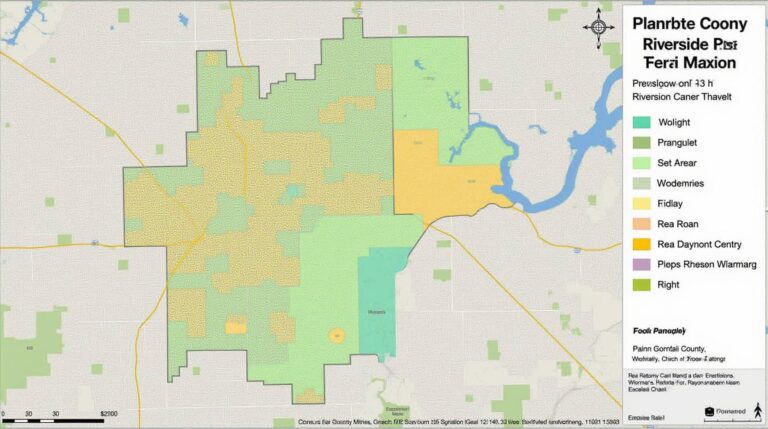
* **Land Use & Zoning Optimization:** GeoAI helps create optimal layouts for residential, commercial, and industrial areas, ensuring efficient land utilization and reducing environmental impact.
* **Traffic Management:** Enhanced real-time traffic analysis allows automatic route optimization with light rail, and public transit route planning.
* **Environmental Monitoring:** Monitoring urban environments for pollution, noise levels, and illegal waste disposal with GeoAI increases environmental awareness and facilitates proactive measures to combat environmental issues.
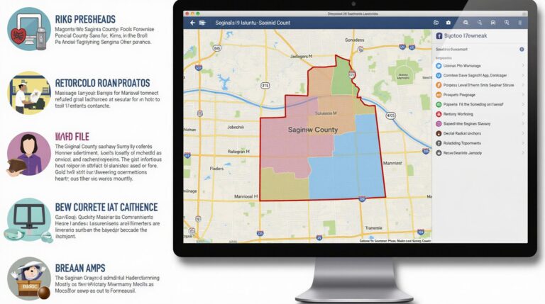
* **Public Asset Management:** Electric grids, water treatment plant connections, and aggregated utilities data can be analyzed through GeoAI to optimize upkeep and increase efficiency and resilience.
* **Urban Mobility & Smart Infrastructure:** Predicting traffic flow and congestion can assist in designing more efficient public transit systems, promoting alternative modes of transportation like cycling and walking.
* **Smart Parking Management Systems:** GeoAI analyzes real-time parking data and usage patterns to maximize parking efficiency, reducing the number of vehicles searching for spaces.
* **Community Engagement**: GeoAI can foster transparency and citizen participation by engaging the community in urban planning projects by mapping neighborhood needs and creating platforms for productive feedback.
Resources for Further Learning
* **The Geospatial Commission:** https://www.geospatialcommission.org/
* **Interoperable Cities:** https://interoperablecities.eu/
* **GeoAI for Urban Resilience:** https://www.un.org/en/climatechange/geo-spatial-analytics
GeoAI is changing the landscape of urban planning. Its ability to analyze intricate spatial data, predict future trends, and optimize resource allocation offers incredible potential for creating smarter, more sustainable, and inclusive cities. Leveraging this technology empowers urban planners to effectively manage growing populations, adapt to changing environmental demands, and design a brighter future for our cities.
## GeoAI: Improving Urban Planning and Smart Cities – FAQs
**What is GeoAI and how does it help with urban planning?**
GeoAI, short for geographic artificial intelligence, encompasses the use of AI algorithms and tools combined with geographical data to provide insights and recommendations for urban planning and development. It helps optimize resource allocation, predict outcomes related to future growth, and provide strategies for sustainable development by analyzing:
* **Historical spatial data:** This includes land use patterns, demographics, infrastructure, and past development.
* **sensors and real-time data:** This data includes traffic patterns, air quality, and public transportation usage.
* **Climate and environmental data:** This includes projected climate change impacts and water resources availability.
Using this data, GeoAI helps inform decisions related to:
* **Infrastructure planning:** Where to build roads, bridges, parks, etc., while considering factors like population density, environmental impact, and public transportation connections.
* **Smart city development:** Creating optimized traffic management systems, recycling and resource management, and disaster preparedness plans.
* **Housing and development:** Identifying areas for sustainable housing development and ensuring equitable distribution of resources across different zones.
**Is GeoAI available and accessible for use?**
While GeoAI is a rapidly evolving domain, access has been expanding:
* **Open Source Applications:** Several open-source platforms and environments (like Geopandas and rasterio) provide researchers and developers with tools to build their own solutions. [https://geopandas.org/](https://geopandas.org/)
* **Cloud Computing:** AI and geospatial service providers offer cloud-based solutions for data processing, analysis, and visualization, paving the way for easier accessibility for non-experts. [https://www.esri.com/](https://www.esri.com/)
* **Specialized Platforms:** Several commercial platforms leverage GeoAI, but some provide basic free plans or trials for experimentation: [**Find out about GeoAI platforms at https://www.analyticsvidhya.com/blog/2022/05/the-future-of-geoai-10-key-applications-of-geoai-in-2023/**](https://www.analyticsvidhya.com/blog/2022/05/the-future-of-geoai-10-key-applications-of-geoai-in-2023/)
**What are some common GeoAI formats used in urban planning?**
GeoAI often utilizes the following formats to represent geospatial data:
* **Shapefiles:** Standardized file format for representing geographic data, including points, lines, and polygons.
* **GeoJSON:** Widely used for exchanging geospatial data, especially with features like geometries and attributes.
* **Raster Data:** Gridded images that represent different variables like land cover, elevation, and temperature.
**How are geoAI solutions being implemented in smart cities?**
Smart cities are exploring the use of GeoAI for diverse applications:
* **Predicting future city development:** Using AI models to understand population growth, demand forecasting for housing, utilities, and service provision.
* **Optimizing traffic management:** From real-time traffic predictions to real-time data sharing with autonomous vehicles, the system can optimize traffic flow and reduce congestion.
* **Improving disaster preparedness:** Analyzing past incidents and real-time data to anticipate resource allocation and respond proactively to natural disasters.
* **Monitoring resource consumption:** Real-time analysis of water usage, energy consumption, and waste generation to design efficient resource management strategies.
**Conclusion**
GeoAI presents a powerful tool for improving urban planning and developing smarter cities. Its capacity to analyze vast amounts of geospatial data, automate complex analyses, and generate insightful predictions will need further exploration and development. As the technology progresses, we can expect smarter city planning, efficient resource management, and more sustainable urban environments.
This introduction to GeoAI, urban planning, and smart cities allows you to follow some further links to explore the subject. It’s a continuously growing field of interest and will become more sophisticated over time as more data becomes available!