AI for Geospatial Data Filtering – Noise Removal
AI for Geospatial Data Filtering – Noise Removal
Introduction
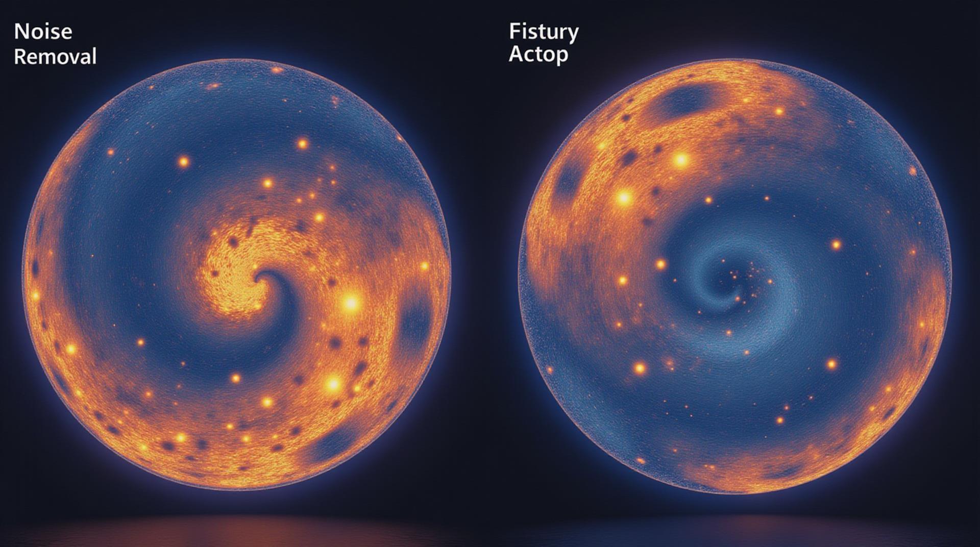
Geospatial data is increasingly vital for decision-making in various fields, from urban planning and disaster response to environmental monitoring and scientific research. However, raw geospatial data often contains undesirable features like noise, artifacts, and inaccuracies, making it difficult to extract meaningful information. Artificial intelligence (AI) is becoming a powerful tool for addressing this challenge, automating the removal of noise from geospatial data. This blog post delves into the world of AI for geospatial data filtering – noise removal.
Key Features
* **Automated Noise Identification and Removal:** AI excels at identifying various types of noise commonly found in geospatial data, such as cloud cover, shadows, bad pixel values, and topographic distortions. This comes from understanding visual patterns and learning how to segment them in the context of the surrounding real-world environment.
* **Comprehensive Image Analysis:** Advanced AI models can analyze images and entire maps, going beyond simple pixel filters to identify meaningful features and patterns. This capability is essential for effectively cleaning up large and complex geospatial datasets.
* **Customization and Flexibility:** AI algorithms can be trained on specific datasets and tailored to address the unique needs and nuances of the target geospatial data type. This level of customization makes them adaptable to a variety of applications.
Benefits of AI for Noise Removal
* **Improved Accuracy and Precision:** By removing noise, AI-powered filtering enhances the accuracy and confidence of geospatial analyses, leading to more reliable and actionable insights.
* **Time and Cost Efficiency:** AI platforms automate the complex process of noise removal, freeing up valuable time and resources for data scientists and analysts to focus on other tasks.
* **Scalability and Data Handling:** AI models can handle massive geospatial datasets without limitations, allowing for efficient processing across large areas and extensive historical information..
Practical Applications
* **Urban Planning and Development:** Noise removal enables the analysis of satellite imagery for more accurate land use classification.
* **Disaster Response and Relief Efforts:** AI-powered processes can quickly analyze aerial imagery to assess damage caused by storms, floods, or earthquakes, providing the information needed for effective response and delivery of aid.
* **Environmental Monitoring:** AI can monitor changes in vegetation cover, pollution levels, and wildlife habitats through remote sensing satellite imagery, supporting environmental assessment and conservation efforts.
* **Precision Agriculture and Resource Management:** By detecting and removing noise, AI supports farmers efficiently with crop management insights and real-time data about fertilizer and water usage patterns.
Resources for Further Exploration
* **Research and Development:** Several research organizations, including universities and government agencies, are actively conducting research in AI for geospatial analysis. Here are a few places to start:
* National Institute of Standards and Technology (NIST)
* University of Washington, Applied Mathematics and Statistics Group
* EOS (Earth Observing Systems) program
* **Industry Solutions:** Look for vendors specializing in AI-powered geospatial services. Some examples include:
* Planet Labs
* Google Earth Engine
Conclusion
AI is transforming how we approach geospatial data filtering and cleaning. With its powerful features and capabilities, AI is opening up the world of geospatial data analysis to more efficient and informative tools that are ready for deployment. As research continues, we can expect even more sophisticated applications to emerge, delivering greater value across a wide range of sectors.
Check similar topics:
Frequently Asked Questions
- What is geoai-noise-removal?
Geoai-noise-removal is a powerful tool that uses cutting-edge AI to clean up corrupted or noisy data from geographic information systems (GIS). This helps create maps and visualizations that are sharper and more accurate, leading to better insights.
- Where can I find geoai-noise-removal?
Geoai-noise-removal is available at www.techgeo.org as a cloud-based service.
- What formats does geoai-noise-removal support?
Geoai-noise-removal handles a wide range of spatial data formats, including GeoTIFF, shapefiles, and KML. Check our support page for a complete list.
- How easy is geoai-noise-removal to use?
Geoai-noise-removal is designed for users of all technical skill levels. Easiest it to use through our intuitive web interface. Visit our product page to get started.
- Is geoai-noise-removal cost-effective?
We offer flexible pricing varying with the amount of processing power you need, so we can support businesses of all sizes.
- How do I contact techgeo for support?
You can reach our support team directly at support@techgeo.org. We are here to help you during your journey with technology.
Conclusion
In a world where geographic data is ever-expanding, geoai-noise-removal is crucial for ensuring accuracy, clarity, and insightful data analyses! This intelligent tool simplifies the cleaning process and empowers professionals to visualize the Earth’s surface with greater precision, leading to better outcomes.
Actionable Insights
By using Geoai-noise-removal, you:
- Enhance map and web service quality
- Simplify complex data analysis
- Uncover hidden insights within your data

