Using GeoAI for Precision Agriculture – Agricultural Mapping
Using GeoAI for Precision Agriculture: Agricultural Mapping
### What is GeoAI?
GeoAI, short for Geospatial Artificial Intelligence, is a revolutionizing technology leveraging the power of machine learning and data analysis to understand and transform the world of agriculture. It integrates traditional geospatial data with artificial intelligence algorithms to provide unparalleled insights, automate tasks, and optimize farming practices.
Key Features and Capabilities of GeoAI:**
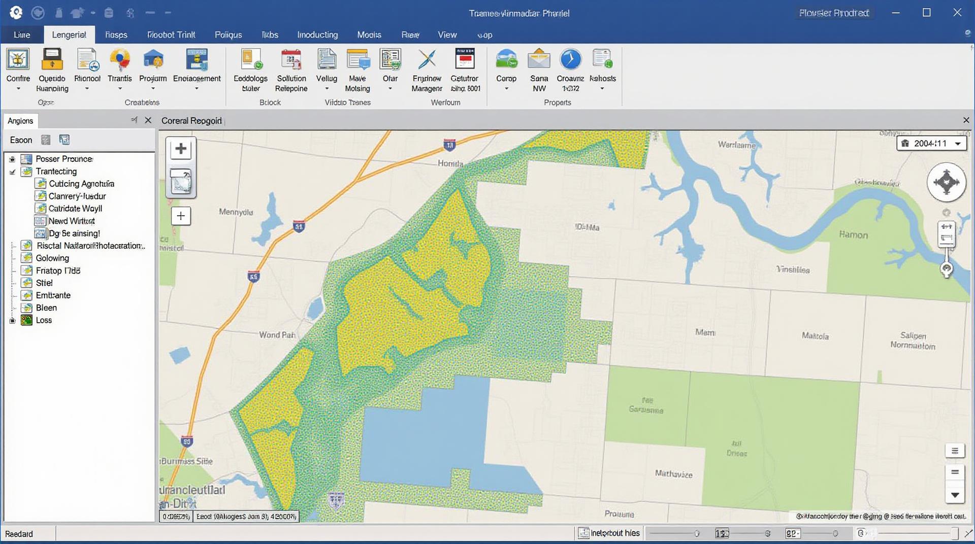
* **Spatial Data Analysis:** This fundamental aspect involves analyzing and visualizing data throughout various environments. GeoAI interprets this data through algorithms, identifying trends, patterns, and anomalies leveraging tools like remote sensing and GIS (Geographic Information Systems).
* **Predictive Modeling:** Using historical data, crop health, weather forecasts, and complex factors, GeoAI builds predictive models for crop yield, soil health, pest control, and resource management.
* **Automated Processes:** From autonomous machine operation to real-time data analysis, automated farming enabled by GeoAI features can improve efficiency and reduce manual labor.
* **Precision Application:** Sensors, drones, and GPS technology coupled with GeoAI empower farmers to target specific applications based on real-time data, minimizing waste and maximizing resource usage.
* **Data-Driven Insights:** GeoAI doesn’t just analyze; it delivers actionable information. By summarizing potential issues and highlighting best practices based on understandable visualizations and reports, farmers can immediately take action.
### Benefits of GeoAI in Agricultural Mapping
The benefits of GeoAI for agricultural mapping go beyond simple efficiency. By providing valuable insights, they can contribute to:
* **Enhanced Yield Optimization:** GeoAI helps identify optimal planting time, irrigation needs, and pesticide application timings, leading to increased productivity.
* **Reduced Inputs:** By analyzing soil type and crop requirements, GeoAI ensures appropriate fertilizer and pesticide application, minimizing resource waste.
* **Precision Farming:** This means applying precise amounts of water, fertilizers, and nutrients based on mapped soil conditions, minimizing environmental impact.
* **Improved Water and Resource Management:** By analyzing data on irrigation needs and rainfall patterns, GeoAI can help farmers optimize water consumption and mitigate droughts.
* **Early Disease & Pest Identification:** Real-time monitoring through drones and image analysis enables farmers to identify potential threats early, allowing for swift and targeted interventions.
### Practical Applications of GeoAI in Agriculture
GeoAI’s versatility makes it well-suited for a variety of farming operations and settings:
* **Crop Mapping:** Identify specific areas of a field needing attention, understand crop health, and monitor field density.
* **Soil Health Analysis:** Analyze soil composition, nutrient levels, and water infiltration parameters to optimize soil fertilization and irrigation.
* **Weed and Pest Monitoring:** Detect invasive species and pests early, enabling targeted pesticide applications and precise management.
* **Field Optimization:** Analyze crop growth patterns, understand planting density and guide machinery routes to maximise efficiency.
* **Livestock Management:** Monitor animal distribution and health, allowing for timely intervention and improved herd management.
### Resources for Exploring GeoAI
To start your journey with GeoAI for agricultural mapping, consider these resources:
* **Research Papers & Articles:** Many research organizations, universities, and agricultural institutes dedicate extensive research to GeoAI applications. Explore online databases such as Google Scholar for latest publications.
* **Software Platforms & Applications:** Numerous companies specialize in GeoAI software and platforms used in agriculture. Examples include:
* **ArcGIS:** A comprehensive GIS software for land management and analysis.
* **QGIS:** An open-source GIS for mapping and spatial analysis.
* **FarmLogs:** A leading platform for farm management, reporting, and data collection.
* **CropX:** A suite of AI tools for precision farming, including image analysis and crop planning.
* **SentinelHub:** Provides access to satellite data and tools for mapping agricultural applications.
* **Farming Communities & Organizations:** Participating in online forums, attending workshops, and connecting with farm groups are excellent ways to network with experts and potentially form collaborations.
Leveraging GeoAI for a Future-Proof Farming Practice
GeoAI is not just a future; it is the present technological revolution transforming the face of agriculture. By adopting and embracing GeoAI data analysis combined with ongoing learning and application adjustment, farmers can create farms that are sustainable, productive, and efficient.
## GeoAI-Precision Agriculture – Agricultural Mapping: FAQs
**What is GeoAI-Precision Agriculture **? **agricultural mapping?**
GeoAI-Precision agriculture refers to the integration of Geographic Information Systems (GIS) and Artificial Intelligence (AI) for managing agricultural operations and optimizing farming practices. It involves using AI algorithms to analyze and interpret large amounts of geospatial data from sensors, satellites, and mapping tools. This helps farmers enhance decision-making, reduce resource waste, and achieve greater yields.
**What are the benefits of GeoAI-Precision Agriculture?**
* **Improved Crop Management:** Monitor crop health, optimize water and nutrient usage, predict diseases and pests, and adjust planting strategies in real-time.
* **Reduced Resource Inputs:** Minimize fertilizer and pesticide usage through precise application, reduce water consumption, and improve land management practices.
* **Maximize Yields and Profitability:** Optimize yields, target specific areas for targeted interventions, increase crop productivity and profitability.
* **Enhanced Environmental Sustainability:** Reduce environmental impact by optimizing water usage, minimizing fertilizer and pesticide application, and managing nutrient runoff.
**Where is GeoAI-Precision Agriculture used? **
These technologies are applied across varied agricultural landscapes. They range from individual farms to large-scale agricultural enterprises, used in:
* **Crop Yield Prediction and Assessment:** predicted yield across different fields, enabling proactive planning and resource allocation.
* **Irrigation Optimization:** building water management plans for optimal irrigation schedules and minimizing water wastage.
* **Disease and Pest Identification:** efficiently detect disease outbreaks and develop customized control tactics based on data.
* **Farm Management and Operations:** implementing cutting-edge farm robotics and automated systems for data-driven decision making.
**What formats are used for GeoAI-Precision Agriculture?**
* **Spatial Data:** Geographic Information Systems (GIS) platforms are commonly used to visualize, manage, and analyze spatial data.
* **Sensor Data:** Data from various sensors, like drones, satellites,
* **Image and Video Data:** Images captured by UAVs and drones provide crucial information about crop health, soil conditions, and field features.
**How is GeoAI-Precision Agriculture used?**
* **Data Analysis:** Utilizing AI algorithms for extracting insights from data collected through different platforms.
* **Machine Learning:** Building predictive models for crop yield predictions, disease forecasting, and automated soil management.
* **Decision Support:** Providing farmers with real-time insights and actionable recommendations for various farm operations.
* **Remote Sensing:** Employing satellite data and drone imagery to monitor crop health, growth stages, and nutritional content.
**What are the availability and accessibility considerations?**
* **Cloud-Based Solutions:** A variety of platforms are available as cloud-based solutions (e.g., Google Earth Engine, ArcGIS Online, and other platforms) that allow farmers to access map-based functionalities, analyze data, and make informed decisions.
* **On-Farm Installations:** Some solutions require on-ground installations of sensors and equipment, but they offer granular control over data collection and processing, ideal for individual farmer needs.
* **Data Security and Privacy Concerns:** It is important to choose solutions that prioritize the protection and privacy of user data.
**How to get started with GeoAI-Precision Agriculture? **
* ** Consult with Agricultural Experts:** Guidance from agricultural consultants or extension services is vital for successful implementation and personalized recommendations.
* **Experiment and Iterate:** It is important to test different technologies and platforms to create the most effective workflows for your specific farm.
* **Embrace Continuous Learning:** The field is constantly evolving, so continued research and development in AI and spatial data management are essential.
## **Conclusion:**
GeoAI-Precision agriculture offers a compelling path towards more resilient, efficient, and sustainable agricultural practices. Adopting this technology can significantly reduce environmental impact while boosting farmer profitability and ensuring food security in a changing world. With strong data analysis and signal processing techniques, the possibilities for GeoAI-Precision agriculture in the agricultural industry are vast and promising.
**Let’s get started, farmers!**
Let us know what questions you have regarding GeoAI-Precision Agriculture. We’ll work together to trigger the next wave of agriculture innovation.
To find more information, access helpful resources on the topics covered in this document:
Stay tuned as GeoAI-Precision Agriculture continues to shape the future of agriculture.