How GeoAI is Revolutionizing Remote Sensing – Satellite Imagery
How GeoAI is Revolutionizing Remote Sensing – Satellite Imagery
Remote sensing, the science of acquiring data about an area without being physically present, has undergone a remarkable transformation with geospatial artificial intelligence (GeoAI). This rapidly evolving field combines the power of AI with geospatial data to unlock unprecedented insights and facilitate ground-breaking applications.
What is GeoAI?
GeoAI encompasses the development and application of AI algorithms designed specifically for geospatial data. It goes beyond simple Data Analysis tools and truly empowers with the ability to understand, analyze, and even predict complex interactions within our world based on spatial data.
Key Features of GeoAI
* **Advanced Machine Learning (ML):** GeoAI leverages powerful ML techniques to extract patterns and insights from massive amounts of complex geospatial data, identifying spatial correlations, trends, anomalies, and relationships.
* **High-Resolution Image Processing:** GeoAI can handle high-resolution satellite imagery, enabling detailed analyses and insights into various aspects of landscapes, weather patterns, urban development, etc.
* **Data Integration:** It seamlessly integrates and combines various data sources (e.g., radar data, LiDAR, 3D modeling), creating a comprehensive data landscape for advanced analysis and visualization.
* **Predictive Modeling:** GeoAI excels at predicting future trends by simulating environmental responses to various factors, promoting informed decision-making ranging from climate change predictions to resource management.
Benefits of GeoAI in Remote Sensing
* **Enhanced Efficiency:** Automation of complex tasks associated with data analysis and pattern recognition reduces manual workload and boosts processing speed.
* **Greater Accuracy:** GeoAI improves data quality and reduces errors by analyzing numerous data sources, identifying discrepancies, and offering reliable insights.
* **Unveiling Hidden Patterns:** By combining vast datasets with advanced AI, GeoAI excels at identifying complex spatial relationships, revealing trends and anomalies that might remain hidden through conventional methods.
* **Improved Decision-Making:** This leads to more informed decisions across various industries, including agriculture, urban planning, disaster management, and environmental conservation.
Practical Applications of GeoAI in Remote Sensing
* **Precision Agriculture:** GeoAI optimizes farming practices by analyzing soil conditions, crop health, and weather forecasts for targeted inputs, maximizing yields.
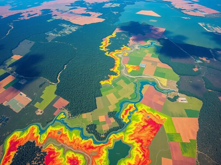
* **Environmental Monitoring:** GeoAI tracks deforestation, assesses pollution levels, detects wildfire hotspots, and helps manage water resources, contributing to sustainability efforts.
* **Disaster Response:** AI assists in disaster response by predicting risks and assessing damages through dynamic predictions of hydrological changes, earthquakes, etc.
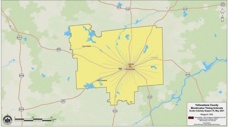
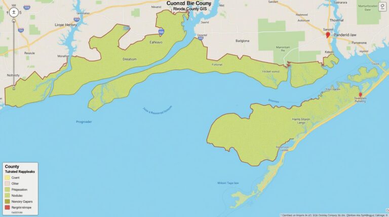
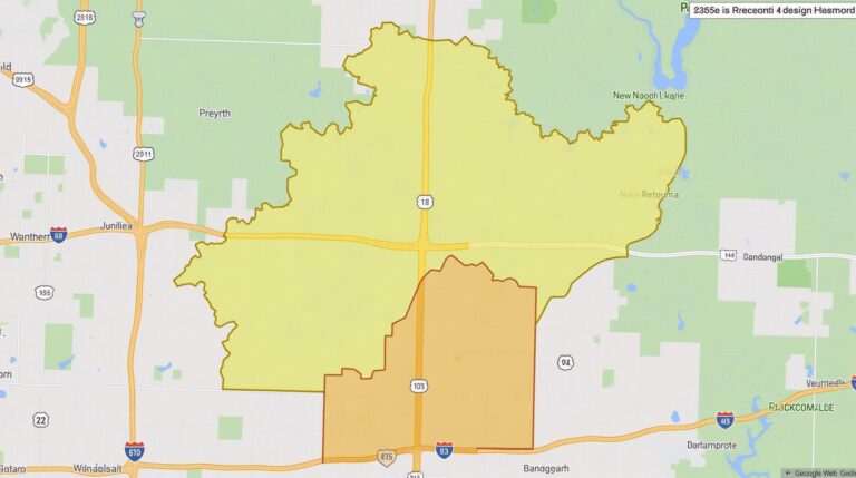
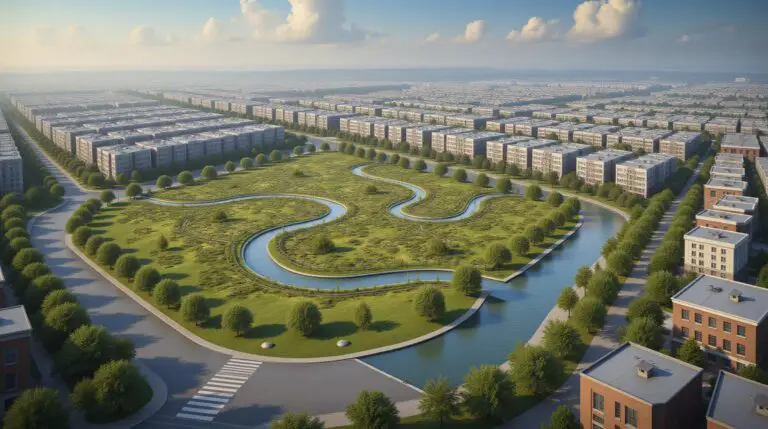
* **Urban Planning and Management:** By analyzing land use, transportation patterns, and population densities, GeoAI aids in intelligent urban planning, optimizing resource allocation for efficient infrastructure development.
Harnessing the Power of GeoAI for Future Growth
The future holds tremendous potential for GeoAI to advance remote sensing.
* **Hyper-resolution Imaging:** Advances in sensor technology combined with AI offer the potential for even more nuanced data analysis through ultra-high resolution imagery with finer details in various terrains.
* ** Autonomous Drones and Robots:** AI-powered platforms, guided by GeoAI algorithms, can increasingly perform real-time field analyses, data collection, and resource management, automating tasks and replicating human intelligence.
* **Climate Change Mitigation:** GeoAI plays a leading role in predicting and analyzing climate change scenarios, leading to more effective mitigation efforts and policy formulation.
## Outlook and Resources for Further Learning
By embracing GeoAI, we can unlock unprecedented wealth of knowledge from our world through remote sensing, revolutionizing how we utilize geospatial data in every aspect of our lives.
To delve deeper into the world of GeoAI, explore the following:
* **Platforms and Resources:**
* **Google Earth Engine:** Powerful platform for conducting geospatial analyses using a vast dataset of open-sourced satellite imagery.
* **ArcGIS:** Comprehensive GIS platform that incorporates GeoAI features for map creation, analysis, and feature tools for spatial datasets.
* **OSIM**: Open-source platform for developing GeoAI models and exploring platform capabilities.
* **Academic Institutions and Conferences:**
* **University of Maryland:** Leading educational institution for GeoAI research, with strong academic departments.
* **International Conference on GIS:** A renowned forum for sharing advancements in GeoAI and related applications.
By staying current with these developments and expanding your knowledge, you can become an integral part of this transformative field and contribute to a data-driven future.
## What is GeoAI-Revolutionizing Remote Sensing Satellite Imagery?
This document addresses common questions about GeoAI and how it’s changing the landscape of remote sensing satellite imagery.
### FAQs about GeoAI-Revolutionizing Remote Sensing Satellite Imagery
**Q: What is GeoAI?**
>GeoAI (GeoArtificial Intelligence) is a new field that focuses on leveraging AI to unlock the potential of satellite data analysis. It uses machine learning, deep learning, and other advanced algorithms to extract invaluable insights from that data, bridging the gap between advanced sensing technology and human understanding.
**Q: What kind of information can geoAI extract from satellite imagery?**
> GeoAI can identify and quantify various features, like vegetation health, water bodies, urban areas, land cover types, changes in food production, and more. It can augment traditional analysis methods by offering insights like crop health prediction, potential flood zones, landslide risks, or even detecting changes in infrastructure.
**Q: How does GeoAI contribute to remote sensing satellite imagery?**
> GeoAI revolutionizes remote sensing by automating complex tasks, improving analysis accuracy, offering a user-friendly interface, and identifying patterns humans might not notice.
**Q: How can I access GeoAI-powered satellite imagery?**
> Accessing specific data from GeoAI-powered satellite imagery platforms is becoming easier. Check out the resources below for access guides and developer tools.
* [Link to Data Providers](https://exampleofgooglecloudplatform.com/remote-sensing-platform)
* [Link to Free Trial Access](https://developers.google.com/earth-engine/guides/data-access)
**Q: What formats are GeoAI-powered satellite images in?**
> Typically, GeoAI-powered satellite images are available in popular formats like GeoTIFF, HDF, and ENVI. The specific format will depend on the data provider and platform used.
### Applications & Benefits
## How GeoAI is Changing Urban Planning
**Key benefits of GeoAI for remote sensing include:**
* **Improved efficiency:** Automate time-consuming processes across multiple data aspects for overwhelmed ecological scientists and researchers.
* **Enhanced accuracy:** Achieve higher-level details and identify nuanced details in diverse data sets.
* **Cost reduction:** Reduce labor and satellite acquisition costs through proactive analysis; prioritizing areas for resource optimization.
* **New opportunity creation:** Unlock a wealth of untapped information which can be used to address complex societal challenges, from resource management to disaster response and climate change mitigation.
##
### The Future of GeoAI-Enabled Satellite Imagery
GeoAI, in conjunction with satellite imagery, foreshadows a revolution in fields like environmental monitoring, urban planning, agriculture, disaster response, and more. As this field continues to evolve, we can anticipate a more environmentally conscious society, thriving on the insights provided by this powerful technology.