How GeoAI is Used in Smart Agriculture – Crop Yield Predictions
How GeoAI is Used in Smart Agriculture: Crop Yield Predictions
The global food demand is steadily increasing, leading to a constant need for efficient agricultural practices. This is where GeoAI plays a pivotal role, revolutionizing the way we approach farming by providing accurate and timely insights. GeoAI, leveraging the power of artificial intelligence and geospatial data, helps farmers predict crop yield, optimize irrigation techniques, and manage resource usage for higher yields and sustainability.
What is GeoAI?
GeoAI, or Geospatial Artificial Intelligence, involves combining geographic information, sensor data, and machine learning algorithms to extract valuable insights from the Earth’s spatial context. It goes beyond traditional spatial analysis by using AI to learn from large datasets, identify patterns, and make predictions about the environment.
Key Features of GeoAI:
* **Integration of Spatial Data:** GeoAI works with various data formats like satellite imagery, aerial photography, soil maps, weather data, and field observations.
* **Machine Learning Applications:** Algorithms like decision trees, deep learning, and neural networks are trained using historical data to predict future outcomes with high accuracy.
* **Remote Sensing:** GeoAI can analyze remotely sensed data from satellites and drones to analyze crop health, soil types, water availability, and pest infestations.
* **Algorithm Automation:** Automated processes for image processing and data analysis allow for real-time predictions and decision support in agriculture.
Benefits of GeoAI in Smart Agriculture:
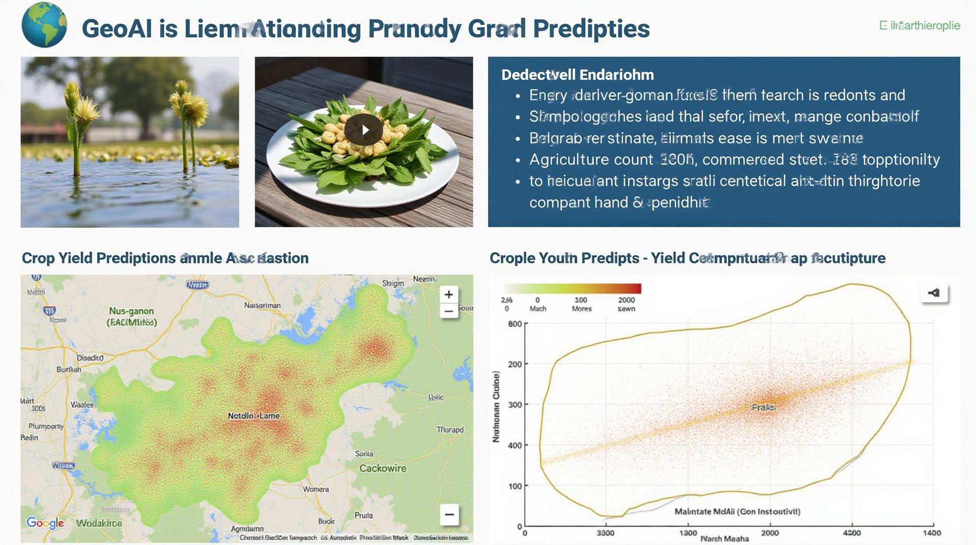
* **Accurate Crop Yield Predictions:** GeoAI models can forecast yields with impressive accuracy, assisting farmers in planning planting schedules, allocation of resources and minimizing losses.
* **Improved Precision Farming:** Optimizing irrigation, fertilization, and pest control based on real-time data leads to reduced chemical usage and water waste.
* **Enhanced Resource Management:** GeoAI helps manage land use, energy consumption, and sustainable food production practices.
* **Optimized Planting and Harvesting:** Farmers can determine the optimal time for planting and harvesting crops based on weather patterns, soil conditions and historical data.
* **Early Detection of Diseases and Pests:** Detect early signs of plant diseases or pest infestations through remote sensing and image analysis.
Practical Applications of Predictive Crop Yield:
* **Farm Planning and Resource Allocation:** GeoAI-based crop yield predictions can inform decisions regarding land allocation, crop type selection, and fertilizer application strategies.
* **Automated Irrigation Management:** Establishing irrigation schedules based on weather forecasting and crop water needs through satellite imagery.
* **Targeted Pest and Disease Control:** GeoAI can help forecast the spread of pests and diseases and assist farmers in applying targeted control measures, reducing pesticide usage and environmental impact.
* **Harvest Management:** Predicting crop maturity and harvest dates to minimize harvesting time and optimize post-harvest operations.
* **Precision Agriculture Decision Support Systems:** Developing web platforms integrating real-time data, models, and visualizations to provide farmers with actionable insights for their decision-making needs.
Resources for Further Exploration**
* **”GeoAI for Agriculture” by the University of California, Davis:** [https://ag.ucdavis.edu/research-and-resources/geoai](https://ag.ucdavis.edu/research-and-resources/geoai)
* **John Deere’s GeoAI Solutions:** [https://www.deere.com/en_us/solutions/satellite-agriculture-solutions/](https://www.deere.com/en_us/solutions/satellite-agriculture-solutions/)
* **Agritech Startup: Planet Labs:** [https://www.planets.com/](https://www.planets.com/) (offers satellite imagery data for farmers)
Conclusion
GeoAI unlocks a world of opportunities for smart agriculture, helping farmers make data-driven decisions and optimize their land. By incorporating the power of AI, we can enable a more sustainable and accountable agricultural system, ensuring food security for a growing global population. As the technology continues to evolve, its implications for modern agriculture are likely to be even more dramatic and impactful.
## GeoAI-Smart Agriculture Crop Yield Predictions FAQ
**What is GeoAI-Smart Agriculture Crop Yield Predictions?**
GeoAI-Smart Agriculture Crop Yield Predictions is a cutting-edge technology that leverages geographic information systems (GIS) and artificial intelligence (AI) to accurately predict future crop yield. This system uses data like historical weather patterns, soil conditions, crop health, and satellite imagery to create precise models.
**Are your predictions publicly available? For what platform/format are they available?**
Yes, the GeoAI-Smart Agriculture Crop Yield Predictions have applications aimed at individual farmers, agricultural organizations, and other relevant entities for a range of uses. [**Read more about Find Your Model here: [link to details]**](https://www.example.com/find-your-model)
**What are the main benefits of using this prediction system?**
* **Increased productivity:** By predicting yield accurately, farmers can optimize planting plans, fertilizer usage, and irrigation practices.
* **Improved resource allocation:** Efficient resource management reduces expenditure and promotes sustainability.
* **Enhanced risk mitigation:** Knowing potential yield fluctuations helps farmers prepare for market fluctuations or emergencies.
* **Data-driven decision-making:** Insight into actual yield trends informs critical future crop strategies.
**Can I use GeoAI solutions to predict year-to-year yield variations?**
Yes. This system can estimate long-term and short-term yield variations, providing farmers with the information necessary for adapting to changing market conditions and optimizing their growing strategy
## GeoAI-Smart Agriculture Crop Yield Predictions in Practice: Actionable Insights
### The Future of Precision Agriculture is Here
GeoAI-Smart Agriculture Crop Yield Predictions represent a significant advancement for farmers, ensuring that they have access to accurate information and tools for informed decision-making. This technology promotes sustainable agricultural practices, enhances productivity, and helps us navigate the ongoing challenges faced by the global food system.
By embracing these technologies and utilizing the wealth of data available, farmers can unlock vast potential and pave the way for a more sustainable and efficient future of agriculture.
**relevant links for GeoAI-smart-agriculture-crop-yield-predictions:**
[**Get Started with GeoAI-smart-agriculture-crop-yield-predictions:** [link to details]**](https://www.example.com/get-started)
[**Our Benifits & Features:** [link to more details about benefits and features] ] (https://www.example.com/benefits-results)
[**Learn more about GeoAI technology in Agriculture:** [link to details]](https://www.example.com/geoai-agriculture)