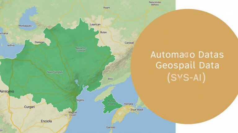
GeoAI for Urban Heat Island Detection – Climate Monitoring
GeoAI for Urban Heat Island Detection – Climate Monitoring
Welcome to a new era of urban heat island (UHI) analysis! GeoAI, combining geospatial data with advanced artificial intelligence, holds the key to monitor and mitigate the urban heat island effect, paving the way for a more sustainable future. This article explores the core concepts of GeoAI, its potential benefits, and practical applications for detecting and combatting UHIs.
Understanding the Urban Heat Island
The urban heat island effect describes the discrepancy in temperatures between urban centers and their surrounding rural landscapes. Higher heat levels are generated by dense populations, energy-intensive infrastructure, concrete and asphalt surfaces that absorb and retain heat, and reduced vegetation cover. These contributing factors lead to elevated urban surface temperatures, impacting air quality, public health, and resource demands.
Introducing GeoAI: The Power of Location and AI
GeoAI leverages the unique power of geospatial data by integrating attributes such as:
– **Latitude, Longitude:** Geographic coordinates pinpoint precise location of data
– **Elevation:** Impacts temperature echoes, with higher elevation areas generally experience cooler temperatures.
- Machine Learning Algorithms: Leverage these algorithms to analyze massive datasets, discover patterns, and classify UHI conditions, revealing a dynamic map of heat generation hotspots.
- Remote Sensing Data: Satellite imagery captures visible, infrared, and thermal data, offering a broad perspective on urban heat patterns across vast areas.
- Geospatial Information Systems (GIS): GeoAI systems integrate GIS mapping technologies to spatial store and analyze geographical data, visualizing UHI trends and features.
- Traffic Data: These contribute insights into the daily rhythm of urban movement and transportation patterns that exacerbate heat stress.
Benefits of GeoAI for Climate Monitoring in Urban Environments
GeoAI brings a wealth of benefits for climate monitoring in urban environments:
- **Improved Accuracy:** GeoAI identifies and classifies UHI conditions with increased precision compared to traditional methods, providing a more nuanced picture of urban heat.
- **Early Detection and Prediction:** GeoAI’s predictive capabilities allow urban planners and policymakers to identify and react to UHI development ahead of time. This proactive approach can inform planning for green spaces, cool pavements, and resource allocation.
- **Targeted Mitigation Strategies:** GeoAI fine-tunes resource distribution by analyzing heat hotspots and revealing areas requiring targeted interventions. Policymakers can prioritize green infrastructure, urban agriculture, and cool roofs in areas where heat stress is most prevalent.
- **Proactive Climate Adaptation:** GeoAI data allows for a comprehensive understanding of城市’s vulnerability to climate change impacts, particularly the escalating UHI phenomenon, promoting strategic climate change adaptation strategies.
Applications of GeoAI in Climate Monitoring
- **Urban Heat Index Estimation:** GeoAI precisely estimates the heat index, a metric combining temperature and humidity, facilitating heat stress assessments.
- **Identifying High-Risk Areas:** GeoAI maps the location of high-risk areas, allowing for targeted interventions designed to improve cooling effects.
- **Understanding Urban Heat Evolution:** GeoAI tracks and analyzes UHI development over time, aiding in the assessment of long-term trends and finding sustainable solutions.
- **Building Eco-Efficient Cities:** GeoAI informs urban planning for enhanced energy sustainability and green construction, reducing the UHI effect in urban environments.
Resources for Learning More
Discover GeoAI and its application for climate monitoring by exploring these valuable resources:
- International Data Acquisition and Integration (IDA) Platform: Access a vast repository of spatial data and geospatial tools for advanced analytics.
- NASA EarthData Portal: Explore a plethora of satellite imagery and climate data readily available for research and development.
GeoAI is revolutionizing urban development and climate change adaptation. By refining our understanding of the UHI phenomenon through GeoAI-driven insights, we can develop and implement effective strategies to mitigate the urban heat island effect and create a more sustainable urban future.
## GeoAI-Urban Heat Island Detection for City Planning: FAQs
This FAQ section covers common questions regarding the GeoAI-Urban Heat Island detection for city planning application.
What is GeoAI-Urban Heat Island (UHI) Detection?
GeoAI-Urban Heat Island detection uses artificial intelligence (AI) and geographical information to identify and quantify urban areas experiencing increased temperatures compared to the surrounding rural areas. This process helps analyze factors impacting heat island effect and the potential to mitigate it.
How can GeoAI-Urban Heat Island Detection help city planning?
The insights gained from analyzing heat island effects can inform city planning decisions based on real-time, data-driven evidence. This data can be used for: (1) Identifying vulnerable communities facing higher heat exposure; (2) prioritizing green spaces and urban cooling infrastructure investments; (3) optimizing zoning and land use policies; and (4) adapting policies to mitigate the impact of heat waves.
What data types are required for GeoAI-Urban Heat Island Detection?
The application typically demands:
* **Remote Sensing Data:** Satellite imagery or aerial photographs are valuable for examining land surfaces and their contributing factors to UHI. https://www.earthexplorer.usgs.gov/
* **Local Gridded Data:** GIS data of infrastructure (like buildings, roads), weather stations, land cover, vegetation, and more are essential. https://www.fao.org/datacrypto/en/#geo
* **Historical and Temporal Data:** Stating the period for analysis and comparing data over time helps create effective mitigation strategies.
What formats are available for GeoAI-Urban Heat Island Detection Output?
The application provides a range of output possibilities, which can include:
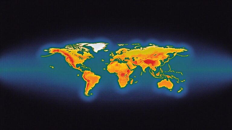
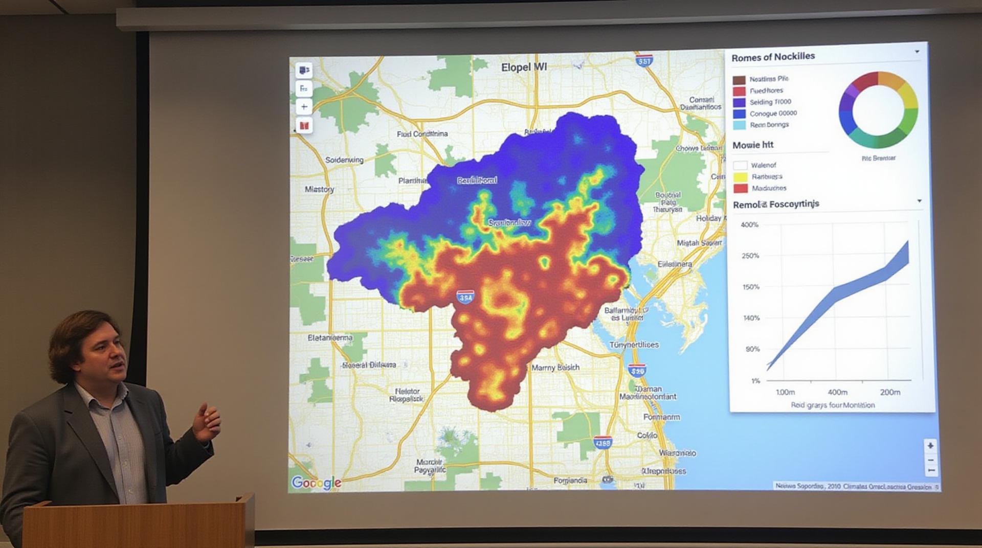
* **Heat Maps:** These visuals highlight hot and cold areas.
## Conclusion
GeoAI-Urban Heat Island Detection offers a powerful tool for helping cities adapt to climate change and build resilient, sustainable communities. https://www.climate.gov/news-features/understanding-climate/water-and-climate Using prediction models based on different datasets and incorporating AI, this application enables city planners across the globe to make better-informed decisions for greener, more equitable, and climate-resilient urban landscapes. By making this valuable tool readily available and accessible, we can all contribute towards a safer and more sustainable future for our cities.