Using GIS to Manage Coastal Areas
Coastal areas are complex and need careful management to stay healthy. Geographic Information Systems (GIS) help a lot in this area. They offer a way to watch over, plan, and protect these areas. GIS uses data to help make choices that protect the environment, grow the economy, and meet people’s needs.
GIS has many tools that are key for managing coastlines. It helps map and study coastal resources. It also helps figure out risks and make better decisions. This makes GIS a must-have for coastal managers all over the world.
Key Takeaways
- GIS provides a comprehensive platform for monitoring, planning, and protecting coastal environments.
- Spatial data integration and analysis enable informed decision-making in coastal zone management.
- GIS supports a balance between environmental conservation, economic development, and societal needs in coastal regions.
- Cutting-edge GIS technologies are transforming the way coastal managers approach resource management and sustainable development.
- Adopting GIS-based strategies is crucial for the long-term resilience and sustainability of coastal ecosystems.
Introduction to GIS and Coastal Zone Management
Geographic Information Systems (GIS) are key in coastal zone management. Coastal management aims to use and protect coastal areas sustainably. It tackles issues like habitat changes and environmental conservation. GIS helps map and analyze coastal areas’ complex dynamics.
What is GIS?
GIS is a computer system that handles spatial data. It uses data from satellites, planes, and ground surveys. This way, it creates detailed maps and models of our environment. GIS tools help managers understand coastal habitats and their changes.
Importance of Coastal Zone Management
Coastal zones are sensitive and need careful management. Habitat changes from sea-level rise and human activities harm these areas. Good coastal management is key to keeping these resources sustainable. They offer important services like flood protection and economic benefits.
| Key Benefits of GIS in Coastal Management | Examples |
|---|---|
| Mapping and monitoring coastal resources | Tracking changes in wetland extent, identifying critical habitats, and monitoring shoreline dynamics |
| Analyzing coastal processes and ecosystems | Assessing the impacts of climate change, modeling sediment transport, and evaluating the health of coastal habitats |
| Supporting decision-making and planning | Identifying areas of high vulnerability, evaluating the feasibility of coastal protection measures, and optimizing resource allocation |
With GIS tools, coastal managers can make better decisions. They can use resources wisely and plan effectively. This helps tackle the big challenges coastal areas face.
The Role of GIS in Coastal Management
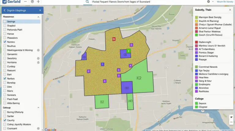
Geographic Information System (GIS) is key in coastal zone management. It uses spatial data and analysis to help manage coastlines. This includes mapping resources and assessing ecosystem risks.
Mapping Coastal Resources
GIS is great for mapping coastal resources. It combines data from satellites, field surveys, and records. This helps create detailed maps of habitats and infrastructure.
These maps are crucial for making decisions. They guide how resources are used and help plan for the future.
Analyzing Coastal Ecosystems
GIS is also vital for analyzing coastal ecosystems. It looks at water quality, biodiversity, and habitat changes. This helps understand the complex dynamics of coastlines.
This knowledge is key for spotting areas at risk of flooding or habitat changes. It helps develop strategies to tackle these challenges.
Assessing Vulnerability
- GIS helps find areas most at risk from disasters like storm surges and sea-level rise.
- It maps topography, infrastructure, and population density to find vulnerable spots.
- This is important for planning and protecting coastal communities and ecosystems.
GIS has changed how we manage coastlines. It offers tools for mapping, analysis, and decision-making. GIS is essential for building resilient and sustainable coastal areas.
Benefits of GIS in Coastal Zone Management
Geographic Information Systems (GIS) are key in managing coastal zones today. They use spatial data and analysis to help make better decisions. This leads to more effective ways to manage our coasts.
Improved Decision-Making
GIS gives coastal managers a deep understanding of the coastal zone. It combines physical, environmental, and socioeconomic data. This helps in making informed decisions and planning better.
With GIS, decisions are based on solid data. This leads to more sustainable and resilient outcomes for our coasts.
Enhanced Data Visualization
GIS turns complex coastal data into easy-to-understand maps and visualizations. Coastal management experts use GIS to map coastal resources and track changes. This makes it easier to share insights and work together.
Efficient Resource Allocation
GIS helps teams allocate resources better by focusing on key areas. It analyzes data to find high-risk zones and areas needing conservation. This way, resources are used where they can make the biggest difference.
In short, using GIS tools in coastal management has changed how we handle our coasts. It improves decision-making, data visualization, and resource use. GIS is essential for sustainable and resilient coastal communities.
Case Studies: Successful GIS Applications
In coastal management, GIS has been a game-changer. It has helped solve big problems. The Chesapeake Bay Program and Florida’s coastal efforts are great examples.
Chesapeake Bay Program
The Chesapeake Bay is a key estuary on the East Coast. It’s faced many environmental issues. The Chesapeake Bay Program, a partnership of governments, has used GIS to lead restoration efforts.
GIS has helped map habitats, track water quality, and analyze land use. This has allowed decision-makers to create effective plans. These plans aim to protect the bay’s ecosystem.
Florida’s Coastal Management
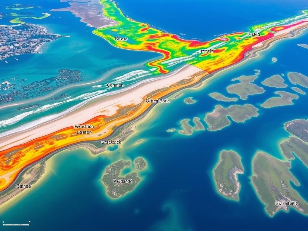
Florida is famous for its coastlines. It uses GIS to manage these resources well. The state’s Coastal Management Program uses GIS to watch beach erosion and find at-risk areas.
It also plans for climate change. With GIS, Florida’s managers can make smart choices. They balance protecting the environment, growing the economy, and keeping people safe.
These examples show how GIS for Coastal Zone Management improves coastal health and community strength. Geospatial technology helps make decisions that protect ecosystems and manage risks. It ensures coastal resources are used wisely.
Challenges in Implementing GIS
GIS is a powerful tool for managing coastal zones, but it comes with challenges. Data quality and accessibility, along with the need for technical skills, are major hurdles. These obstacles can make it hard to use GIS tools effectively.
Data Quality and Accessibility
For coastal management, having accurate and current data is key. But, getting this data can be tough. Coastal areas often lack the detailed data needed on things like shoreline changes and environmental threats.
Getting past these data challenges is crucial. It helps make better decisions and develop effective plans for managing coastal areas.
Technical Expertise
Using GIS for coastal management needs special skills. People must know how to collect data, use GIS software, and analyze spatial data. Without these skills, using GIS can be difficult.
Lack of in-house expertise or access to GIS specialists can slow down adoption. This makes it hard for coastal management groups to use GIS tools well.
| Challenge | Description | Potential Solutions |
|---|---|---|
| Data Quality and Accessibility | Getting good, accessible data on coastal resources and conditions |
|
| Technical Expertise | Not having enough GIS skills to use tools well |
|
By tackling these challenges, coastal management groups can fully use GIS. This helps with decision-making, resource planning, and managing coastal ecosystems better.
Tools and Technologies Used in GIS
Geographic Information Systems (GIS) are key in coastal management. They help professionals track, analyze, and make smart choices about changing coastlines. At the core of GIS are geographic data systems and remote sensing technologies.
Geographic Data Systems
Geographic data systems are vital in GIS for coastal management. They gather, store, and sort spatial data like maps and satellite images. This gives a full view of coastal areas and their features.
With these systems, coastal managers can easily use and change this data. They can make detailed maps, study coastal habitats, and spot changes or threats.
Remote Sensing Technologies
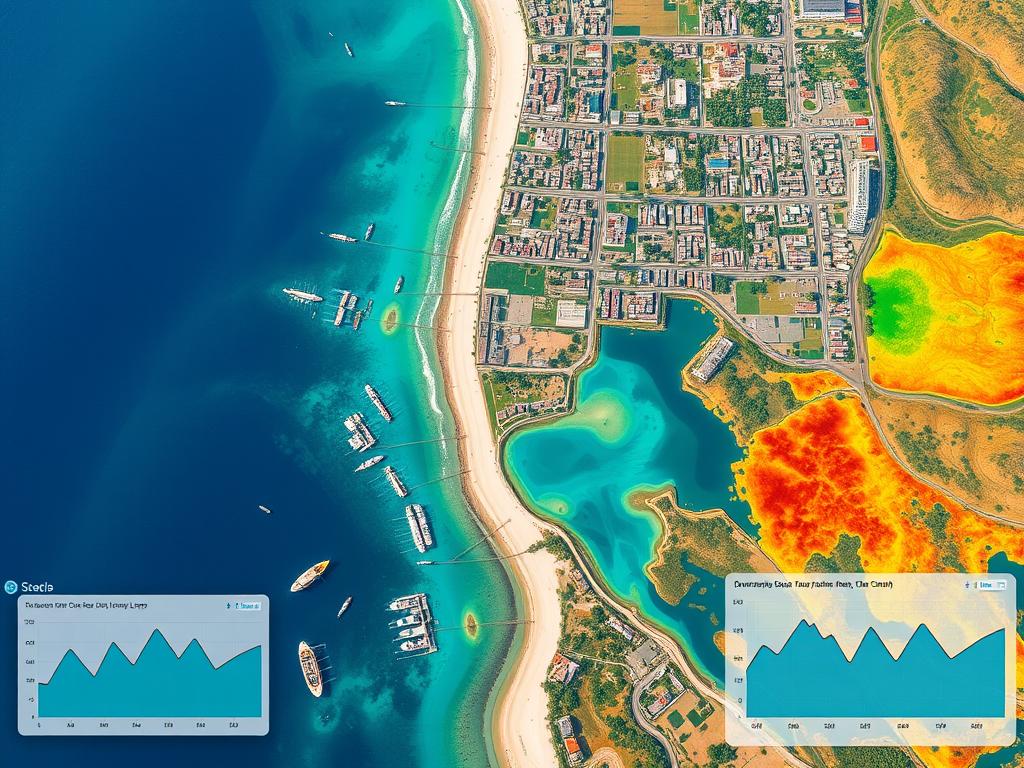
Remote sensing tools, like satellite images and aerial photos, are crucial in GIS for coastal management. They let us watch and check coastal areas all the time. This helps spot habitat changes, map coastal resources, and find GIS tools for coastal management.
By mixing remote sensing data with GIS, managers get a better grasp of coastal ecosystems. This helps them make informed decisions and care for these vital places.
The mix of geographic data systems and remote sensing in GIS has changed coastal management. It lets professionals make choices based on data and protect our coastlines.
Community Involvement Through GIS
Combining coastal management with community involvement is key for lasting solutions. Geographic Information Systems (GIS) tools help make this collaboration easier. They let local people join in the decision-making process.
Engaging Local Stakeholders
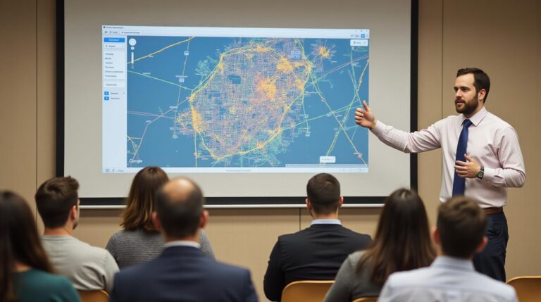
GIS makes it easier for coastal managers to work with local communities. It uses interactive maps and data to let everyone share their thoughts. This way, the community feels more involved and invested in the plans.
Public Participation Mapping
Public participation mapping is a big part of using GIS for coastal management. It lets community members map their local knowledge and concerns. This way, the unique needs of coastal communities are heard and included in planning.
| Stakeholder Engagement Strategies | Benefits of Public Participation Mapping |
|---|---|
|
|
GIS-based coastal management empowers local communities. It leads to better, more inclusive decision-making. This benefits both the coastal environment and the people who live there.
Future Trends in GIS for Coastal Management
The field of coastal zone management is changing fast. Geographic Information Systems (GIS) are getting better by combining with new technologies. This will change how we handle challenges on our coastlines.
Two big trends are important here. The first is combining GIS with other technologies. The second is using Artificial Intelligence (AI) and Machine Learning (ML) to improve GIS.
Integration with Other Technologies
GIS is now a key part of a bigger system. It works well with remote sensing, IoT devices, and even AR and VR. This means coastal managers can use data in new ways.
This approach helps make better decisions. It also helps manage coastal resources more effectively.
AI and Machine Learning Enhancements
Adding AI and ML to GIS will make it even better. These technologies help predict and reduce the effects of flooding and habitat changes. These are big problems for coastal areas.
AI and ML look at lots of data. They find patterns and predict what might happen next. They suggest ways to keep coastal areas healthy for the future.
As GIS for Coastal Zone Management gets better, it will help us make smarter choices. This will lead to better care for our coastal areas.
Policy Implications of GIS in Coastal Management
Geographic Information Systems (GIS) are changing coastal management. They help make environmental rules and land use policies better. This leads to more effective and sustainable practices in coastal areas.
Environmental Regulations
GIS helps create environmental rules for coastal areas. It maps coastal resources, ecosystems, and risks. This helps policymakers make decisions that protect habitats and reduce human impact.
With GIS, governments can make rules that fit each coastal area’s needs. This is crucial for coastal conservation.
Land Use Policies
GIS changes how we plan land use in coastal zones. It combines data on coastal changes, infrastructure, and development. This helps policymakers make better decisions about land use.
They can find the best places for development and protect areas at risk. This balances economic growth with environmental protection and community safety.
| Policy Aspect | GIS Contribution |
|---|---|
| Environmental Regulations | Comprehensive mapping of coastal resources and vulnerabilities to inform policy decisions |
| Land Use Policies | Integrated data on coastal dynamics, infrastructure, and development patterns to guide sustainable planning |
Using GIS in policymaking makes coastal management better. It’s more data-driven and meets coastal challenges. GIS will play a bigger role in coastal management, helping achieve sustainable development and environmental protection.
Education and Training in GIS
As GIS tools grow in coastal management, it’s key to offer learning and growth chances. Those new to GIS and current professionals can find many ways to improve their skills. This keeps them updated with new tech and methods.
Resources for Learning GIS
For GIS newcomers, many online and offline tools are available. Universities and colleges have GIS courses at all levels. This gives a deep dive into GIS tech and its uses.
Online, Coursera, Udemy, and EdX have GIS classes for all levels. Professional groups like the American Planning Association (APA) and the Association of State Floodplain Managers (ASFPM) also have GIS training. These are designed for coastal management specifics.
Professional Development Opportunities
For those already in coastal management, there’s a lot to learn. Going to conferences and workshops is great for networking and learning new GIS tools. The Coastal Zone Foundation even has GIS certification programs.
GIS software companies like Esri and Google also offer training and certifications. This helps professionals get better at the tools they use every day.
| Educational Resources | Professional Development Opportunities |
|---|---|
|
|
By using these many learning and growth chances, coastal managers can keep improving their GIS skills. This ensures they’re ready to face the complex challenges of coastal zone management.
Conclusion: The Future of Coastal Zone Management with GIS
Geographic Information Systems (GIS) have changed how we manage coastal zones. They help us map resources, study ecosystems, and make better decisions. GIS is key in tackling coastal challenges.
GIS will get even better with new tech like artificial intelligence and machine learning. These tools will help predict coastal changes and flooding better. This means we can act sooner to protect our coasts. Also, involving local people in planning will make sure their voices are heard.
With climate change affecting us more, GIS is more important than ever. It lets us use data to make smart choices and protect our coasts. This way, we can keep our coastal areas safe for future generations.

