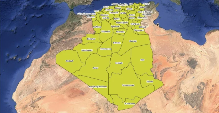
Algeria Regions Shapefile for Download
Resource If you’re working with Geographic Information Systems (GIS) and need to analyze Algeria Regions shapefile, a shapefile of the country’s regions (wilayas) is an essential tool. A shapefile is a common format used for storing spatial data, and in the case of Algeria, it includes the boundaries and attributes of all its 58 regions….

