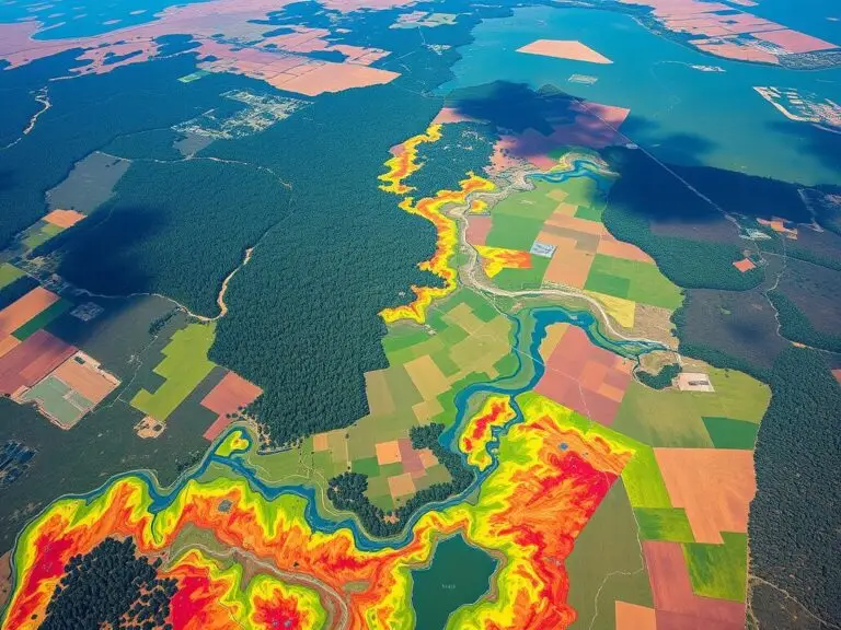
Mapping Wildlife Habitats with GIS
Environmental challenges are growing, and so is the need to protect wildlife habitats. Geographic Information Systems (GIS) technology is key in this effort. It helps us understand, analyze, and manage habitats better than ever before. GIS is a powerful tool for mapping and monitoring wildlife habitats. It uses data from satellites, planes, and field surveys….

