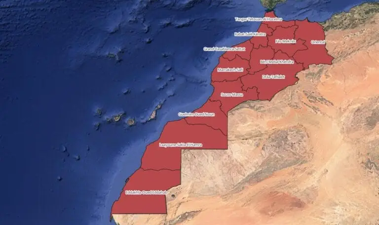
Regions shapefile Morocco
|

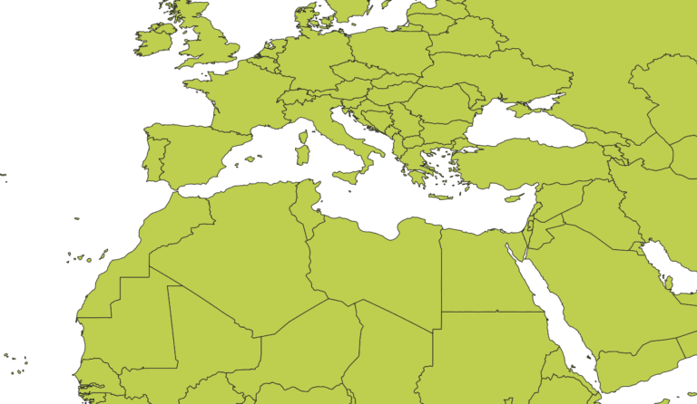
Morocco Regions Shapefile

Morocco Regions shapefile and Counties shapefile available for download. For GIS professionals and researchers, obtaining accurate Morocco regions shapefiles containing administrative divisions is essential for spatial analysis, urban planning, and geographic studies. Morocco is divided into 12 administrative regions, each with distinct boundaries, and these shapefiles can provide a detailed foundation for a variety of…

Arkansas County Map

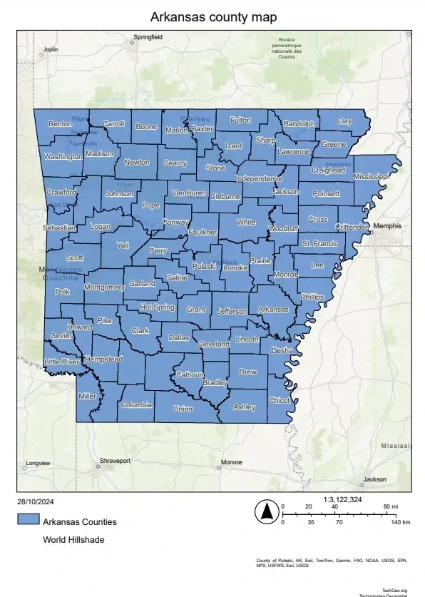
Arkansas County Map

Explore the Arkansas County Map, this map highlights the 75 counties of Arkansas, showing the state’s varied geography and history. It’s perfect for locals and visitors looking to discover Arkansas’s beauty and culture. Arkansas is home to the stunning Ozark Mountains in the north and the lush Mississippi Delta in the southeast. The state’s counties…

Mapping Berlin

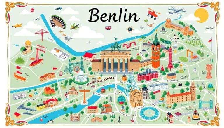
Discover Mapping Berlin the City’s Cartography

Start an amazing journey through Mapping Berlin. This guide explores the city’s maps, showing its history, neighborhoods, and new mapping tech. It’s perfect for locals and visitors wanting to explore Berlin’s streets. Key Takeaways Introduction to Mapping Berlin Exploring Berlin is an exciting journey, and maps are key to discovering its beauty. From busy streets…

Tulsa Ok zip code Map
|

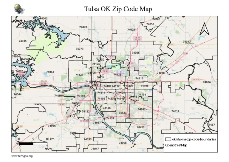
Tulsa OK Zip Code Map Oklahoma USA

With a Tulsa OK ZIP code map, you can easily identify locations, find nearby services, and conduct geographical analysis. In this guide, we’ll explore Tulsa’s ZIP codes, their locations, and the areas they cover. We’ve also included a detailed map of Tulsa’s ZIP codes and a helpful FAQ section to assist in navigating this dynamic…

Baton rouge
|

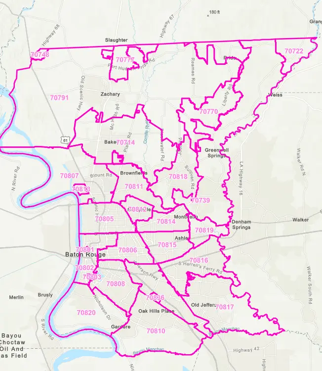
Baton Rouge Zip Code Map: Easy Guide to Local Areas 2024

Exploring Baton Rouge Zip Code, Louisiana, is now easier with our detailed guide to the city’s zip code map. Find the hidden spots and key services that make this lively community special. This guide is perfect for both locals and newcomers, helping you discover Baton Rouge’s layout and find the resources you need. Baton Rouge,…

Fort Lauderdale Zip code Map
|

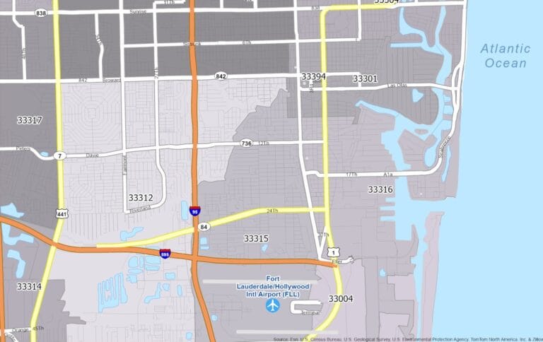
Fort Lauderdale Zip code Map, Florida Usa: Find Your Florida, Address Free 2024

Download Fort Lauderdale zip code Map Florida USA and find your Fort Lauderdale Florida Address. Fort Lauderdale is a lively city in South Florida, known for its beautiful coastline. It has many zip codes, each with its own story. From downtown to quiet neighborhoods, each zip code shows the city’s unique charm. Knowing about Fort…

World boundaries files (SHP, KML, GeoJSON)

Download World Map Shapefile, GeoJSON and KML Format free

Download World Map ShapeFile, Kml, Geojson Accurate and easily accessible data is essential for GIS professionals and enthusiasts alike. We’re thrilled to provide free access to global country boundaries in two popular file formats: World Map Shapefile (.shp) and KML (.kml). These datasets are ideal for anyone working in mapping, spatial analysis, urban planning, environmental…

Geospatial Modeling
|

Geospatial Modeling and Mapping

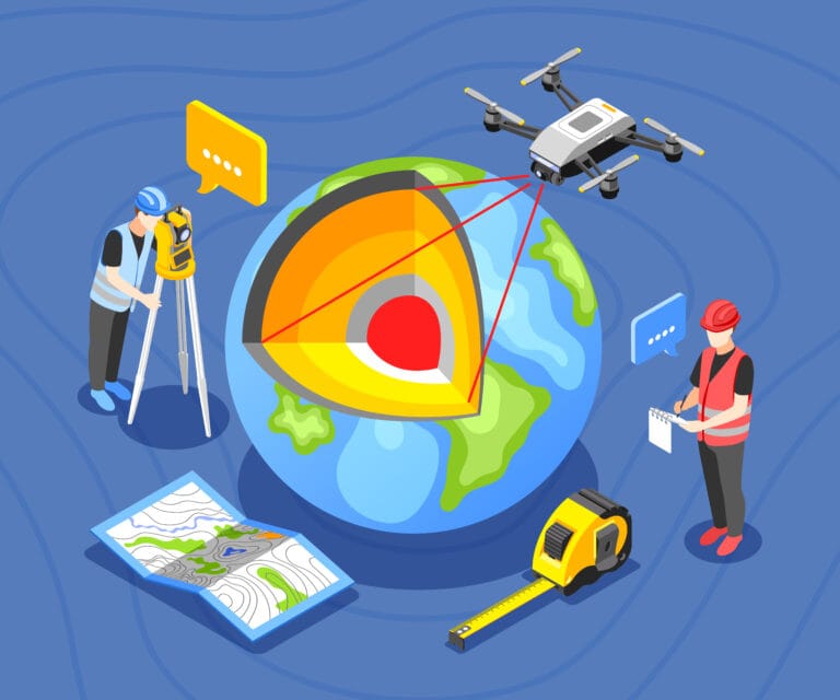
Introduction to geospatial mapping In today’s fast-changing digital world, geospatial modeling and mapping are key. This article will dive into the latest in GIS, remote sensing, and 3D visualization. It aims to help professionals in many fields use spatial data to change things for the better. This article will show you how to work with…

geospatial modeling environment
|

Geospatial Modeling Environment : A Complete Guide

Introduction Geospatial Modeling Environment is essential for interpreting geographical data, making it a valuable tool in fields such as environmental management, urban planning, and disaster management. This article delves into geospatial modeling, its methodologies, prominent software tools, and how organizations use it to make informed decisions. What is Geospatial Modeling Geospatial modeling is the application…