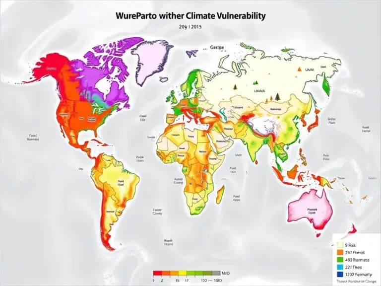
Climate Vulnerability Mapping: Assessing and Addressing Risks
The world is facing a big challenge with climate change. It poses risks to communities everywhere. To tackle these risks, climate vulnerability mapping is key. It uses Geographic Information Systems (GIS) technology to understand and address environmental threats. Climate vulnerability mapping uses GIS and remote sensing data. It finds areas most at risk from climate…

