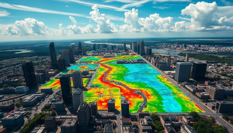
GIS for Disaster Management
Geographic Information Systems (GIS) are key in disaster management. They help emergency teams and leaders deal with crises. GIS uses spatial analysis to guide emergency responses and recovery plans. GIS lets us see and use many types of data. This includes satellite images and real-time sensor data. It also includes info on people and buildings….

