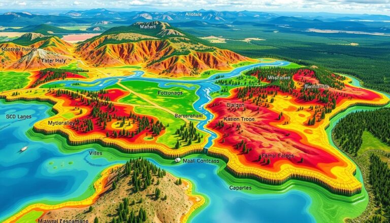
Using GIS for Environmental Impact Assessment
Geographic Information Systems (GIS) have changed the way we do Environmental Impact Assessments (EIA). GIS tools help us understand the environmental effects of projects. They make it easier for experts to tackle big environmental problems. GIS is great at handling spatial data. This includes things like land use and environmental resources. It helps us see…

