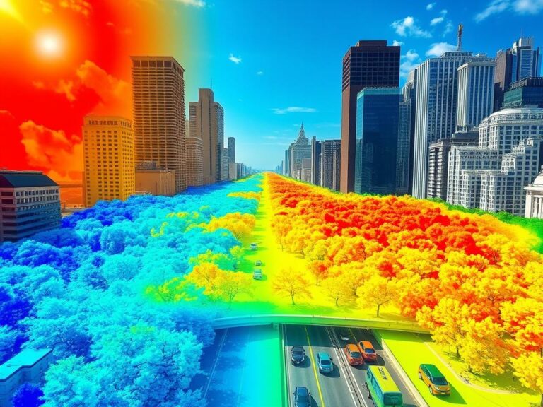
How GIS Helps Map Urban Heat Islands
Cities are growing fast, and so is the problem of urban heat islands. These are areas where the temperature goes up because of buildings and people. This can harm the environment and our health. Luckily, GIS is a tool that helps us understand and tackle this issue. GIS uses data to show where the heat…

