Transportation Network Analysis with GIS

Enhancing Transportation Networks with GIS

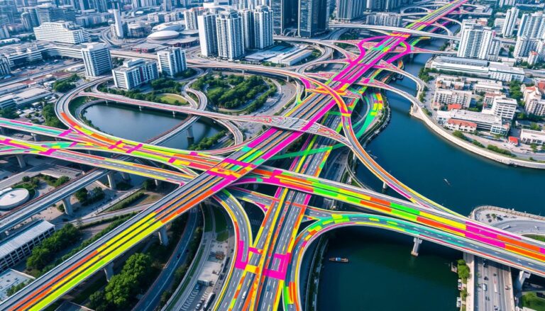
In today’s fast-changing cities, we need better and greener ways to move around. Cities are getting bigger and facing problems like traffic jams and pollution. That’s why Geographic Information Systems (GIS) are key in making our transport systems better. GIS is a powerful tool for analyzing transport networks. It helps experts understand how we move,…

Spatio-Temporal Analysis of Population

Spatio-Temporal Analysis of Population

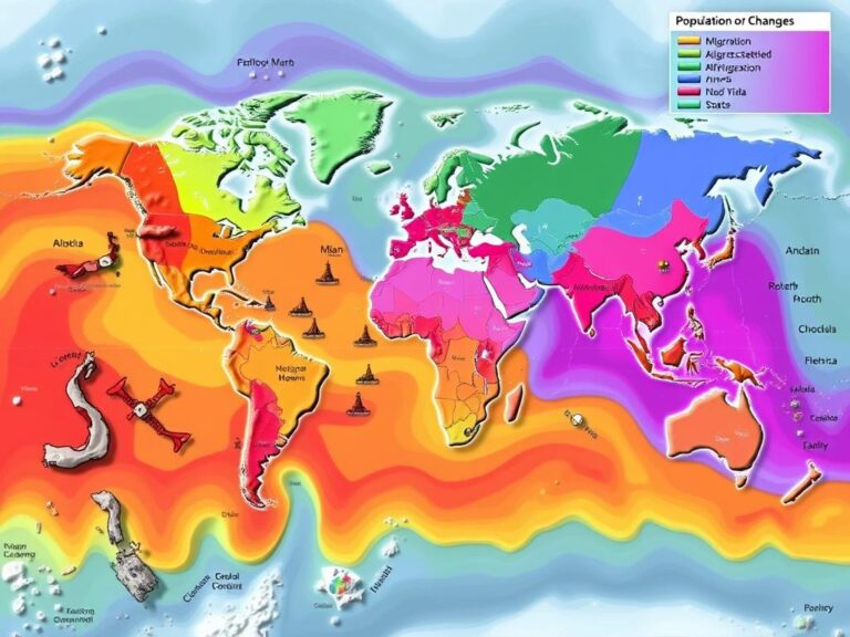
In today’s fast-changing world, knowing how populations move is key for leaders, city planners, and researchers. Spatio-Temporal Analysis of Population uses Geographic Information Systems (GIS) to see how people move and change over time and space. It helps us understand where people live, how they move, and how they change, guiding better decisions and use…