GIS and Agricultural Productivity

Boosting Agricultural Productivity with GIS

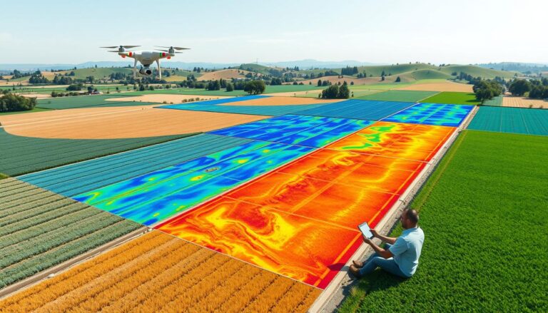
In today’s agriculture, Geographic Information Systems (GIS) is a big change. It helps make farming more productive and green. GIS mixes data with tools for analysis, changing how we manage crops and use resources. GIS lets farmers and experts use data to make better choices. They can use resources better and grow more crops. It’s…

GIS in Renewable Resource Monitoring

GIS in Renewable Resource Monitoring

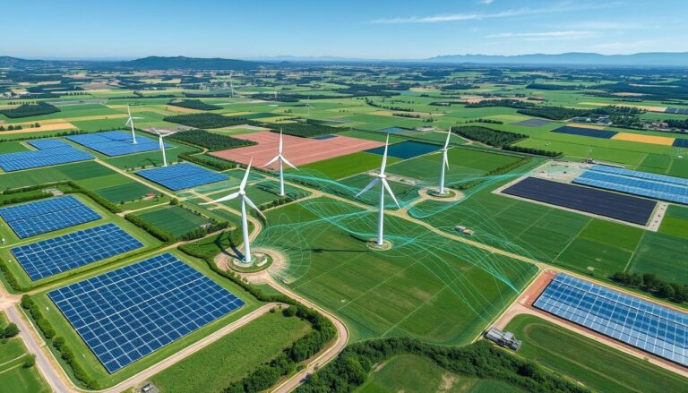
Geographic Information Systems (GIS) are key in our quest for a sustainable future. They help us monitor and manage renewable resources. GIS technology maps, analyzes, and tracks renewable energy assets. This makes decision-making more efficient and informed. GIS collects, organizes, and shows complex data from different sources. It gives a complete view of renewable energy…

Hydrological Modeling with GIS

Hydrological Modeling and GIS Applications

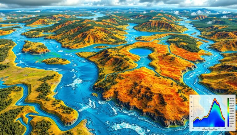
In today’s world, combining hydrological modeling and Geographic Information Systems (GIS) is key for managing water. Hydrological modeling helps predict water movement and quality. GIS, on the other hand, is great for analyzing and showing data on maps. This mix of technologies has changed how we handle water. It lets leaders make better choices with…