GIS in Environmental Impact Assessment

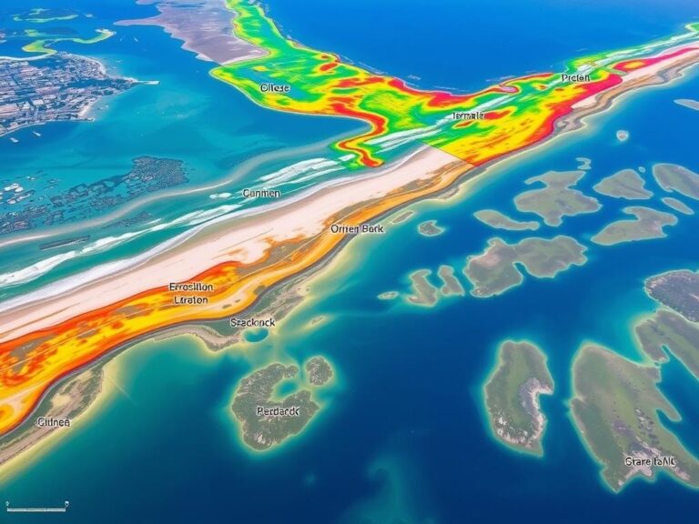
Using GIS for Environmental Impact Assessment

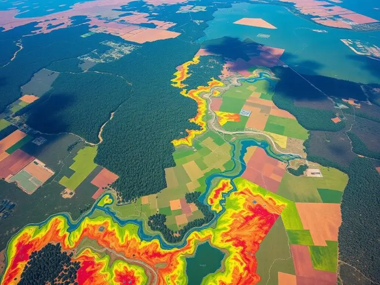
Geographic Information Systems (GIS) have changed the way we do Environmental Impact Assessments (EIA). GIS tools help us understand the environmental effects of projects. They make it easier for experts to tackle big environmental problems. GIS is great at handling spatial data. This includes things like land use and environmental resources. It helps us see…

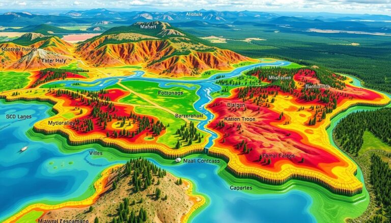
Hydrological Modeling with GIS

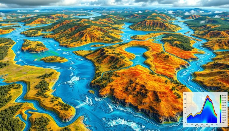
Hydrological Modeling and GIS Applications

In today’s world, combining hydrological modeling and Geographic Information Systems (GIS) is key for managing water. Hydrological modeling helps predict water movement and quality. GIS, on the other hand, is great for analyzing and showing data on maps. This mix of technologies has changed how we handle water. It lets leaders make better choices with…

GIS in Wildlife Habitat Mapping
|

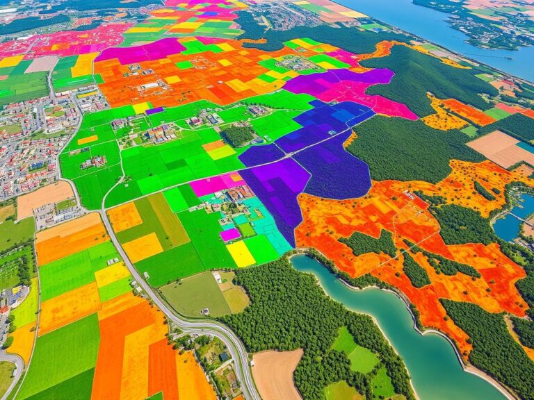
Mapping Wildlife Habitats with GIS

Environmental challenges are growing, and so is the need to protect wildlife habitats. Geographic Information Systems (GIS) technology is key in this effort. It helps us understand, analyze, and manage habitats better than ever before. GIS is a powerful tool for mapping and monitoring wildlife habitats. It uses data from satellites, planes, and field surveys….