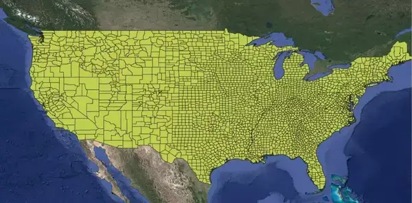
us counties shapefile
|

US Counties Shapefile and US States shapefile

For GIS professionals, researchers, and data analysts, a US counties shapefile and States shapefile is an essential tool for spatial analysis and geographic studies across the United States. This shapefile format provides detailed information about each county, including geographic codes and names, making it highly useful for mapping, demographic studies, and regional planning. Shapefile Contents…

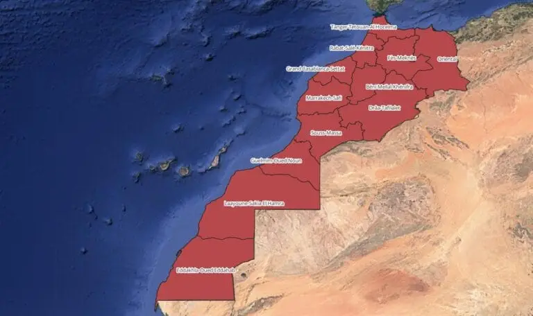
Regions shapefile Morocco
|

Morocco Regions Shapefile

Morocco Regions shapefile and Counties shapefile available for download. For GIS professionals and researchers, obtaining accurate Morocco regions shapefiles containing administrative divisions is essential for spatial analysis, urban planning, and geographic studies. Morocco is divided into 12 administrative regions, each with distinct boundaries, and these shapefiles can provide a detailed foundation for a variety of…