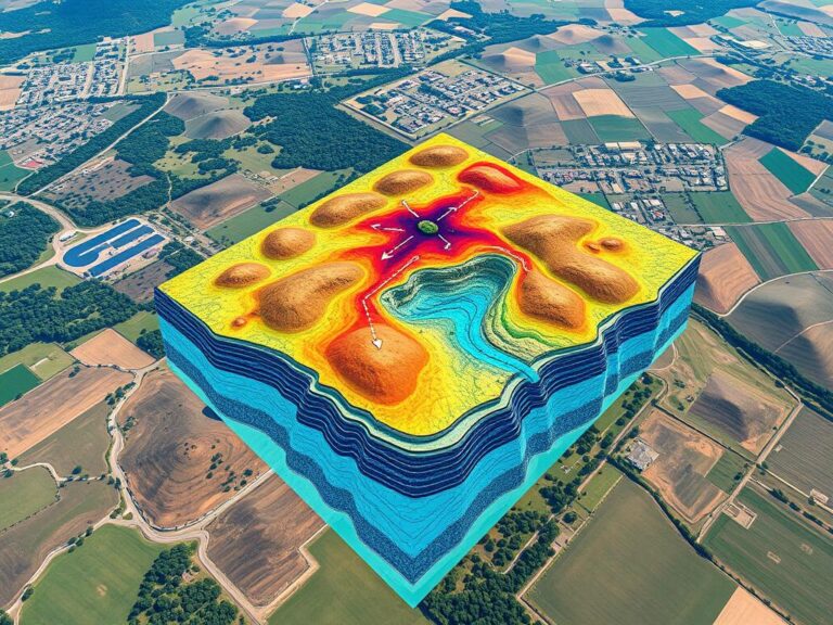
Groundwater Mapping Using GIS
Groundwater is crucial for communities, farms, and industries all over the world. Yet, managing and saving this resource is hard, especially in areas with little water or complex underground systems. Luckily, Geographic Information Systems (GIS) have changed how we map groundwater, making it easier to manage water. GIS combines and analyzes data like underground layers,…

