QFIELD

Introduction to QField : Data Collection with QGIS Field

Welcome to the exciting world of GIS, where technology meets the great outdoors! Today, we’re diving deep into QField—a powerful mobile GIS tool that enhances field data collection processes. Whether you’re involved in urban planning, environmental monitoring, or any other industry that relies on accurate geographical information, QField and its cloud counterpart, QField Cloud, can…

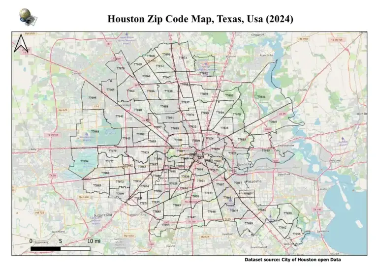
Houston zip code map

Houston Zip Code Map

Houston, Texas, is a vibrant city with diverse neighborhoods. Our Houston zip code map makes navigating it easy. Explore the city’s unique postal codes, from downtown to suburban areas. Our interactive map is perfect for both locals and newcomers to the Houston Texas post code area. Find your postal codes in Houston Texas and learn…

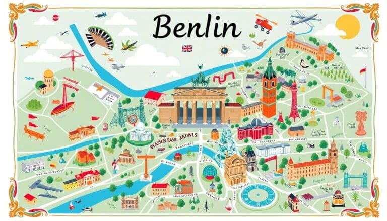
Mapping Berlin

Discover Mapping Berlin the City’s Cartography

Start an amazing journey through Mapping Berlin. This guide explores the city’s maps, showing its history, neighborhoods, and new mapping tech. It’s perfect for locals and visitors wanting to explore Berlin’s streets. Key Takeaways Introduction to Mapping Berlin Exploring Berlin is an exciting journey, and maps are key to discovering its beauty. From busy streets…

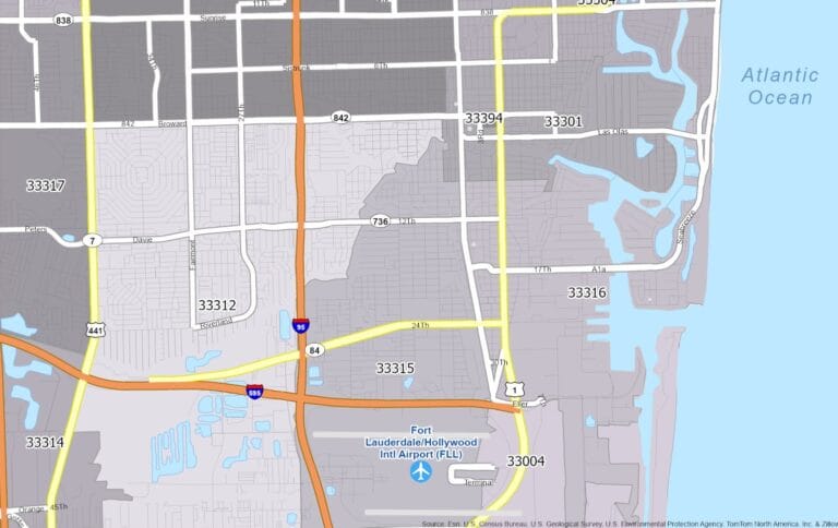
Fort Lauderdale Zip code Map
|

Fort Lauderdale Zip code Map, Florida Usa: Find Your Florida, Address Free 2024

Download Fort Lauderdale zip code Map Florida USA and find your Fort Lauderdale Florida Address. Fort Lauderdale is a lively city in South Florida, known for its beautiful coastline. It has many zip codes, each with its own story. From downtown to quiet neighborhoods, each zip code shows the city’s unique charm. Knowing about Fort…

geospatial modeling environment
|

Geospatial Modeling Environment : A Complete Guide

Introduction Geospatial Modeling Environment is essential for interpreting geographical data, making it a valuable tool in fields such as environmental management, urban planning, and disaster management. This article delves into geospatial modeling, its methodologies, prominent software tools, and how organizations use it to make informed decisions. What is Geospatial Modeling Geospatial modeling is the application…