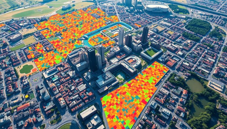
Using GIS for Public Health Mapping
Geographic Information Systems (GIS) are now key in public health. They help health experts and policymakers tackle big health issues. GIS uses spatial analysis to change how we watch over diseases, make healthcare easier to get, and do research on health. GIS mixes different data types, like people’s info and environmental factors. This helps health…

