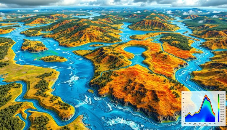
Hydrological Modeling and GIS Applications
In today’s world, combining hydrological modeling and Geographic Information Systems (GIS) is key for managing water. Hydrological modeling helps predict water movement and quality. GIS, on the other hand, is great for analyzing and showing data on maps. This mix of technologies has changed how we handle water. It lets leaders make better choices with…

