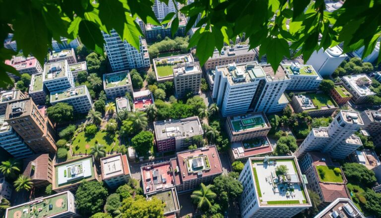
Remote Sensing for Urban Vegetation

Mapping Urban Vegetation with Remote Sensing

Remote sensing technology is key in mapping urban vegetation. It helps city planners and experts make cities better and greener. This tech lets us see how green spaces are doing, making cities healthier for everyone. Remote sensing lets us study the Earth’s surface without touching it. It uses satellites and drones to collect data. This…

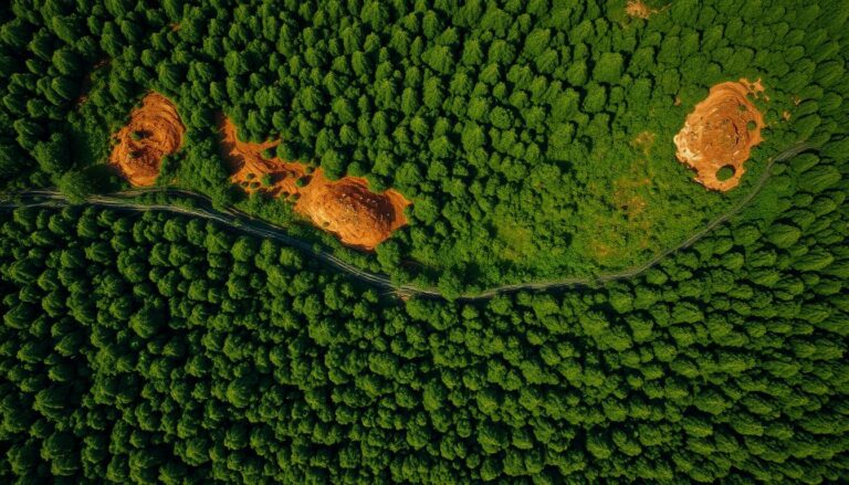
Remote Sensing for Deforestation Monitoring

Monitoring Deforestation Trends with Remote Sensing

Deforestation is a big problem, causing a lot of harm to our planet. It’s making our forests disappear at an alarming rate. Luckily, remote sensing technology is helping us keep an eye on this issue. It lets us track deforestation trends with great accuracy and speed. Remote sensing is a science that helps us learn…