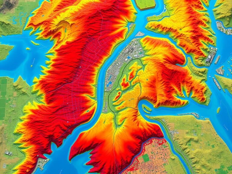
Flood Risk Assessment Using GIS
Climate-related disasters are on the rise, making flood risk assessment more important than ever. Geographic Information Systems (GIS) are key tools in this effort. They provide insights and capabilities to understand, visualize, and reduce flood risks. GIS has become a game-changer in disaster management by using advanced geospatial technologies. GIS plays a vital role in…

