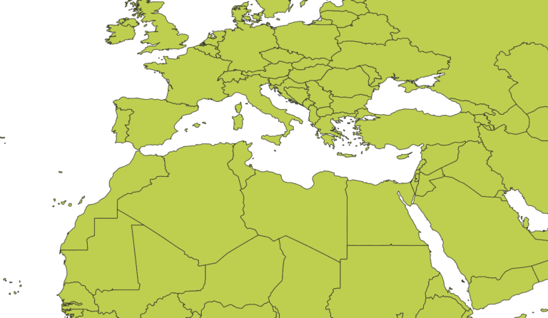
Algeria Regions Shapefile

Algeria Regions Shapefile for Download

Resource If you’re working with Geographic Information Systems (GIS) and need to analyze Algeria Regions shapefile, a shapefile of the country’s regions (wilayas) is an essential tool. A shapefile is a common format used for storing spatial data, and in the case of Algeria, it includes the boundaries and attributes of all its 58 regions….

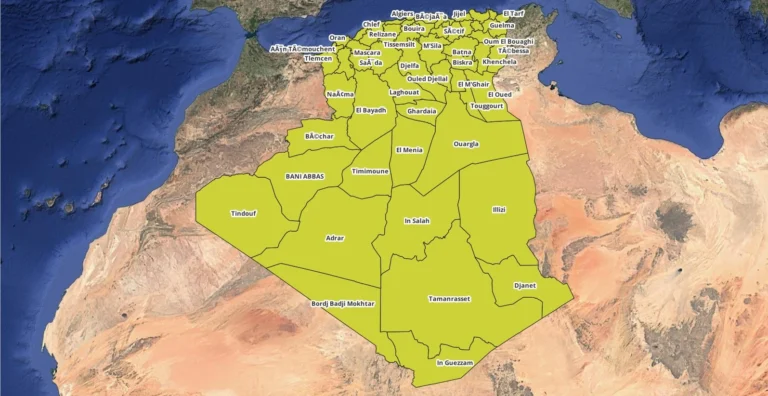
World boundaries files (SHP, KML, GeoJSON)

Download World Map Shapefile, GeoJSON and KML Format free

Download World Map ShapeFile, Kml, Geojson Accurate and easily accessible data is essential for GIS professionals and enthusiasts alike. We’re thrilled to provide free access to global country boundaries in two popular file formats: World Map Shapefile (.shp) and KML (.kml). These datasets are ideal for anyone working in mapping, spatial analysis, urban planning, environmental…