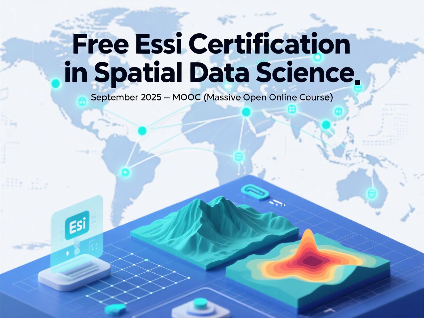
Free Esri Certification in Spatial Data Science: September 2025 MOOC
Introduction
The field of spatial data science represents one of the most exciting frontiers in modern analytics, blending advanced statistical methods with geographic principles to solve complex problems. For professionals looking to expand their skill set without incurring massive costs, Esri offers an incredible opportunity: Spatial Data Science: The New Frontier in Analytics, a massive open online course (MOOC) that provides free training and a valuable certificate of completion. This six-week course running from September 17 to October 29, 2025 represents a perfect chance to gain in-demand skills while earning professional recognition from the industry leader in GIS technology 613.
As organizations increasingly rely on location intelligence to drive decision-making, spatial data science has emerged as a critical competency across industries. This MOOC delivers comprehensive training in the methods and tools that are reshaping how we understand spatial relationships, patterns, and trends. Best of all, Esri provides participants with free access to their ArcGIS software throughout the course duration, removing financial barriers to cutting-edge geospatial technology 13.
Why Spatial Data Science Matters
Spatial data science moves beyond traditional analytics by incorporating location as a fundamental component of understanding patterns and relationships. This approach enables professionals to:
- Reveal hidden patterns that remain invisible in non-spatial data
- Improve predictive modeling accuracy by incorporating geographic context
- Solve complex problems ranging from business optimization to environmental protection
- Transform decision-making processes across public and private sectors
The integration of spatial concepts with data science techniques creates a powerful analytical framework that has been adopted by leading organizations worldwide. According to Esri’s training materials, spatial data science incorporates “data-engineering workflows and how to gain insight from data using spatial methods and algorithms, regression analysis, deep learning models, space-time cubes, and more” 6.
Course Structure & Timeline
This thoughtfully designed MOOC spans six weeks of structured learning, with each week building upon previous concepts to create a comprehensive educational experience:
- Week 1-2: Foundations of spatial data science and data engineering workflows
- Week 3-4: Spatial analysis techniques and regression models
- Week 5: Advanced topics including deep learning and space-time pattern mining
- Week 6: Capstone concepts and final exercises
The course requires a modest time commitment of 2-3 hours per week, making it accessible even for professionals with busy schedules. Participants can complete materials at their own pace throughout each week, with recommended deadlines to keep everyone on track 13.
Table: Key Course Details
| Component | Details |
|---|---|
| Duration | 6 weeks (September 17 – October 29, 2025) |
| Time Commitment | 2-3 hours per week |
| Registration Deadline | October 1, 2025, at 11:59 PM PST |
| Format | Self-paced with weekly modules |
| Software Access | Free ArcGIS software provided |
| Certificate | Available upon completion |
Hands-On Learning Experience
What sets this Esri MOOC apart is its practical approach to learning. Unlike many theoretical courses, this program emphasizes hands-on experience with real tools and workflows:
Software Access
Participants receive free access to ArcGIS software throughout the course duration, allowing them to work with the same platforms used by industry professionals. This eliminates the financial barrier that often prevents individuals from gaining experience with enterprise-grade GIS tools 13.
Learning Resources
The course incorporates multiple learning modalities to accommodate different styles:
- Expert instructional videos that explain key concepts and demonstrate techniques
- Guided exercises that provide step-by-step practice with spatial data science methods
- Discussion forums where participants can interact with peers and experts
- Practical assignments that reinforce learning and build confidence
Real-World Applications
The curriculum focuses on applicable skills rather than abstract theories. Participants learn how to implement:
- Spatial machine learning algorithms
- Regression analysis with geographic components
- Data engineering workflows for spatial information
- Space-time cube analysis for temporal pattern detection
Certification & Credentials
Upon successful completion of all course requirements, participants receive a certificate of completion that validates their newfound expertise in spatial data science 6. This credential offers several professional advantages:
Career Enhancement
The Esri Technical Certification program helps professionals “establish their credibility, validate their skills, and advance their careers” 6. As one certified individual noted, becoming Esri certified has “significantly enhanced my professional and academic journey… providing me with the confidence to tackle complex geospatial challenges” 6.
Digital Verification
The certificate can be shared on LinkedIn profiles and other digital platforms, demonstrating your commitment to professional development in spatial analytics 13. This public verification can attract recruiters and signal expertise to colleagues and clients.
Pathway to Further Certification
For those interested in pursuing formal Esri Technical Certification, this MOOC provides excellent preparation. The skills developed align with the knowledge areas tested in Esri’s certification exams, including the ArcGIS Pro Associate and Professional certifications available in 2025 7.
Who Should Enroll?
This MOOC is designed for a diverse range of participants, including:
Data Professionals
Data scientists, analysts, and engineers looking to incorporate spatial reasoning into their analytical toolkit will find immediate applications for these skills. The course is particularly valuable for those working with location-based data in retail, finance, healthcare, or technology sectors.
GIS Specialists
Existing GIS professionals seeking to expand their capabilities into advanced analytics will benefit from the data science focus. The course covers cutting-edge techniques that go beyond traditional mapping and spatial analysis.
Students and Academics
Those in academic programs related to geography, data science, environmental science, urban planning, or similar fields can enhance their formal education with practical skills directly applicable to research and future employment.
Technical Managers
Leaders who oversee analytics teams can benefit from understanding the capabilities and applications of spatial data science, even if they won’t be performing the technical work themselves.
No prior GIS experience is required, though familiarity with basic data analysis concepts will be helpful. The course is designed to be accessible to motivated beginners while still offering value to experienced practitioners.
How to Register
Registration for this free MOOC is straightforward:
Access Link : ESRI MOOC
- Visit the Esri Training website catalog page for the course
- Click the “Register” button and create a free Esri account if needed
- Complete the registration form before the October 1, 2025 deadline
- Mark your calendar for the September 17 start date
- Prepare to receive software access instructions as the course begins
Early registration is recommended to ensure access to all course materials and support resources from the first day of the course.
Conclusion
The Spatial Data Science: The New Frontier in Analytics MOOC represents an exceptional opportunity for professionals to gain cutting-edge skills at no cost. Between the free software access, expert instruction, and valuable certificate, this program offers tangible career benefits without financial investment.
The September 17 to October 29, 2025 course dates provide ample time to prepare, but registration closes on October 1, 2025, so interested individuals should enroll soon to secure their spot 13. In an increasingly data-driven world, spatial data science skills offer a competitive advantage across industries—making this MOOC one of the most valuable learning opportunities available this year.
For those looking to expand their analytical capabilities, validate their skills with an Esri certificate, and join the growing community of spatial data scientists, this course represents an ideal starting point. The knowledge gained could unlock new career opportunities, enhance current projects, and provide a new perspective on how location intelligence transforms data analysis.
Register today and position yourself at the intersection of data science and geographic reasoning—where the most exciting analytical breakthroughs are happening.


the knowledge you share is great. Very Important for the real world phenomenon