Introduction to QField : Data Collection with QGIS Field
Table of Contents
Welcome to the exciting world of GIS, where technology meets the great outdoors! Today, we’re diving deep into QField—a powerful mobile GIS tool that enhances field data collection processes. Whether you’re involved in urban planning, environmental monitoring, or any other industry that relies on accurate geographical information, QField and its cloud counterpart, QField Cloud, can significantly transform how you gather, manage, and analyze data.
What is QField?
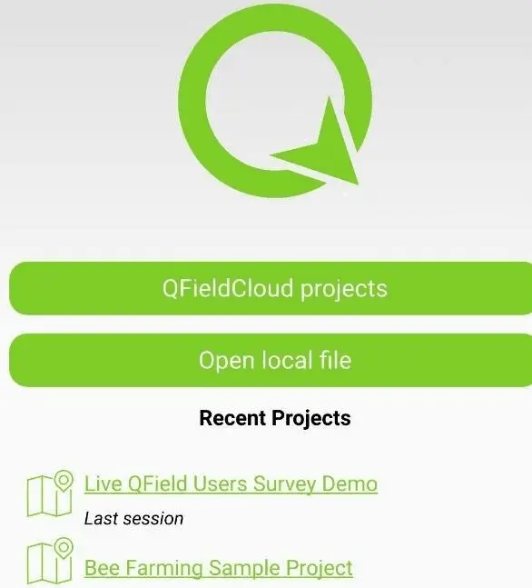
QField is an open-source mobile GIS application designed to bring GIS capabilities directly to your fingertips. Compatible with both Android and iOS devices, it empowers users to collect, edit, and visualize data in real time, even in the most remote locations. With over 1 million downloads worldwide and recognition as the best Swiss app in 2022, QField has quickly become a preferred tool among field teams and GIS professionals alike.
The Evolution of QField
QField’s development was driven by the need for a user-friendly mobile GIS solution that would allow fieldworkers to operate efficiently without the constraints of traditional desktop environments. It bridges the gap between field data collection and desktop GIS applications like QGIS, allowing for seamless integration and a more cohesive workflow.
Key Features of QField
1. Real-Time Data Collection
One of the standout features of QField is its ability to support offline data collection. This capability is crucial for fieldwork, where internet connectivity may be limited or nonexistent. You can collect data and synchronize it later when you have access to a network, ensuring that no valuable information is lost.
2. Customizable Forms
Tailor your data collection forms to fit the specific needs of your project. QField allows users to create custom forms, ensuring that all necessary information is captured efficiently. This flexibility streamlines the data entry process, minimizing errors and improving data quality.
3. GNSS Support
Accurate data collection is vital in GIS, and QField enhances this with advanced GNSS (Global Navigation Satellite System) support. This feature provides precise positioning and navigation capabilities, allowing users to pinpoint locations accurately and gather reliable spatial data.
4. Interactive Mapping
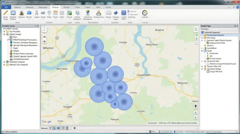
Users can interact with maps through intuitive features like pan, zoom, and measurement tools. This level of interactivity makes it easy to visualize and analyze spatial data directly in the field, leading to more informed decision-making.
5. Multimedia Integration
QField allows users to enrich their data by attaching photos, videos, and audio clips directly to their GIS records. This capability provides additional context and detail, enhancing the value of the data collected and making it more useful for analysis and reporting.
QField Cloud: Enhancing Collaboration
To further amplify your data management capabilities, QField Cloud offers a cloud-based solution for real-time updates and secure data storage. This feature is particularly beneficial for teams working on complex projects across multiple locations.
Benefits of QField Cloud
- Seamless Data Sharing: Collaborate effectively by synchronizing data between field teams and office staff. QField Cloud ensures everyone has access to the most up-to-date information, improving team coordination and project outcomes.
- Enhanced Workflow Efficiency: By integrating your existing QGIS projects with QField, you can facilitate easy data collection in the field and synchronize updates once you’re back online. This integration streamlines workflows and reduces the time spent on data entry.
- Team Management: QField Cloud features fine-grained permissions, allowing project managers to control who has access to specific projects and data. This setup ensures that sensitive information is kept secure while enabling appropriate access for team members.
Real-World Applications
QField and QField Cloud are making significant impacts across various industries:
Urban Planning
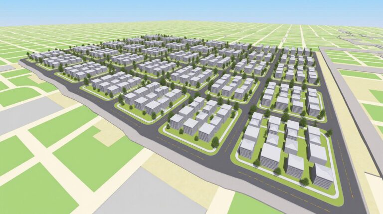
In urban planning, QField has streamlined data collection processes, enabling planners to make better-informed decisions. By providing accurate, real-time data, teams can respond quickly to evolving urban dynamics, assess infrastructure needs, and engage with the community more effectively.
Environmental Monitoring
Environmental scientists and agencies utilize QField for extensive data collection, helping maintain data accuracy across different municipalities. By gathering data on environmental conditions, species distribution, and land use changes, professionals can monitor ecological health and make informed conservation decisions.
Infrastructure Management
Organizations involved in infrastructure management use QField to assess and manage assets such as roads, bridges, and utilities. The ability to collect and update data in real time allows for better maintenance planning and resource allocation.
Disaster Management
In emergency response scenarios, QField can be invaluable. Field teams can quickly map affected areas, assess damage, and coordinate relief efforts. With the capability to gather data offline, teams can operate effectively even in the chaos following a disaster.
Getting Started with QField
Ready to elevate your fieldwork? Getting started with QField is straightforward and user-friendly:
1. Download and Install
Begin by downloading QField from the app store on your mobile device. The installation process is quick and easy, making it accessible for users of all technical backgrounds.
2. Integrate Your QGIS Project
Once installed, you can bring your existing QGIS projects into QField for mobile use. This integration allows you to leverage your current workflows while extending your data collection capabilities into the field.
3. Set Up QField Cloud (if needed)
For teams that require real-time data sharing and collaboration, setting up QField Cloud is a breeze. Follow the intuitive setup process to ensure your data is securely stored and easily accessible.
4. Start Collecting Data
With everything in place, you can begin collecting data in the field. QField’s user-friendly interface and robust features will help you gather and manage data efficiently, transforming your field operations.
Conclusion
In conclusion, QField and QField Cloud are powerful tools that revolutionize field data collection. They offer a flexible, user-friendly, and cost-effective solution for professionals across various industries. Whether you’re an urban planner, environmental scientist, or any professional needing reliable GIS tools, QField provides the capabilities to enhance your workflow and improve data accuracy.
By integrating QField into your operations, you can enjoy the benefits of mobile GIS, streamline collaboration, and ultimately make more informed decisions based on real-time data. If you have questions or need further information, don’t hesitate to reach out. Embrace the future of field data collection with QField, and watch your efficiency soar!


One Comment