4 Funded Geospatial PhD & Postdoc Opportunities in France – November 2026
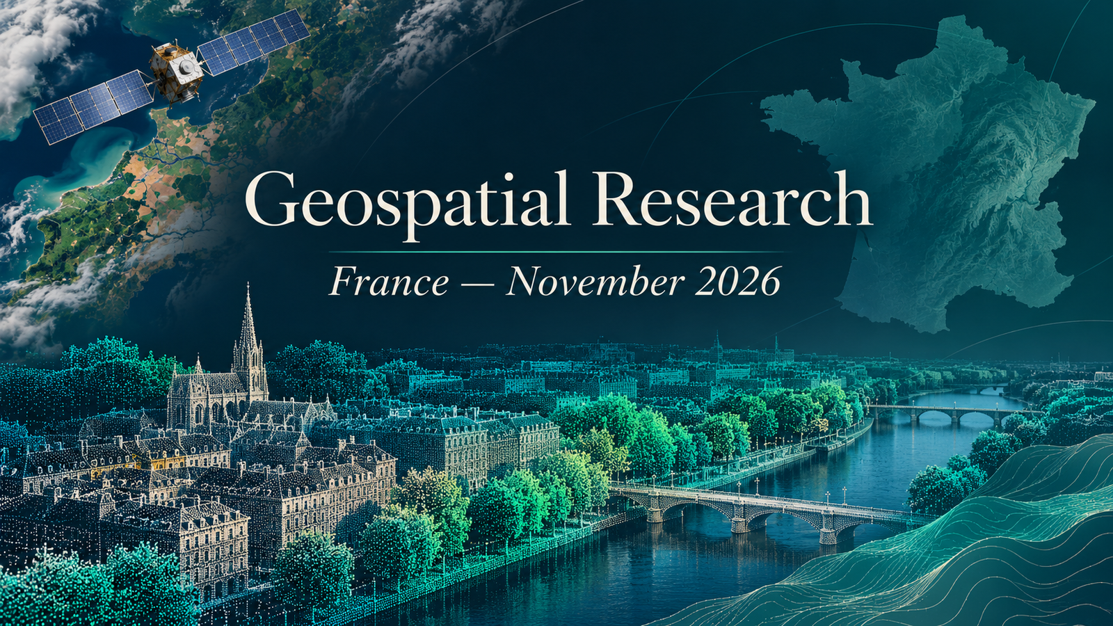
These geospatial PhD and postdoc opportunities in France November 2026 include one salaried doctoral contract and three salaried postdoctoral positions. The research spans 3D urban change, LiDAR river geometry, atmospheric remote sensing and Earth-observation satellite scheduling. Hosts are located in Sophia Antipolis, Thiais, Villeneuve-d’Ascq and Toulouse. All four individual official calls were checked on 8 November 2026.
The region refers to the host institution’s location, not the nationality of eligible applicants. These are specific active research calls with salary details, not general admissions listings. The amounts below are gross monthly salaries; they are not estimates of take-home pay. Citizenship eligibility, visa sponsorship and other conditions are Not specified here unless expressly discussed in an individual profile; applicants must consult the host’s full requirements.
Calls may change or close early. Every listed call was accessible and appeared open on 8 November 2026. Recheck the official page immediately before applying. Deadline times are reproduced as stated; where a timezone is absent, it is not inferred.
Compare the four funded research opportunities
| Country | Level | Topic | Institution | Location | Funding/salary | Deadline | Application |
|---|---|---|---|---|---|---|---|
| France | PhD | Large-scale 3D change detection | Inria — TITANE | Sophia Antipolis | €2,300 gross/month | 30 November 2026 | View Call & Apply |
| France | Postdoc | LiDAR river geometry and hydromorphology | CNRS — Laboratoire de Géographie Physique | Thiais | €3,132 gross/month | 12 November 2026, 23:59 | View Call & Apply |
| France | Postdoc | Atmospheric microplastics optics and remote sensing | CNRS — Laboratoire d’Optique Atmosphérique | Villeneuve-d’Ascq | €3,071.50–€3,501.51 gross/month; experience dependent | 16 November 2026, 23:59 | View Call & Apply |
| France | Postdoc | Uncertainty-aware Earth-observation satellite scheduling | CNRS — LAAS | Toulouse | €3,041–€4,216 gross/month; experience dependent | 19 November 2026, 23:59 | View Call & Apply |
Research profiles
1. Large-scale 3D change detection — Inria — TITANE
Inria’s TITANE team is recruiting a doctoral researcher to analyse changes in urban geometry from remote-sensing data. The project contributes to the digital twin of France and its territories, using concise geometric representations to study urban evolution at large scales. It is a strong research fit for candidates interested in 3D computer vision, geometry processing and machine learning. The official profile requests C/C++ and Python programming, a strong relevant technical background and fluent English. This is a three-year salaried contract paying €2,300 gross monthly, with a stated start date of 1 December 2026. Applications must be submitted through Inria’s online system by 30 November. The advert also describes possible restricted-area authorisation requirements; applicants should read those conditions carefully. A focused application should connect previous research or coursework to scalable geometric analysis rather than claiming experience with every satellite-data product.
2. LiDAR river geometry and hydromorphology — CNRS — Laboratoire de Géographie Physique
This postdoc develops geomatics methods for describing river-channel geometry from LiDAR. The work consolidates approaches for identifying bankfull levels and widths and turns research methods into QGIS tools. It suits a researcher who combines environmental GIS with substantial Python programming and an interest in river processes. The laboratory expects a doctorate in geomatics or geographic information science with environmental applications. Duties include data processing, scientific analysis, dissemination and research publication. The official CNRS advert specifies a 20-month full-time contract at €3,132 gross per month, with a planned start on 4 January 2027. Its application deadline is 12 November 2026 at 23:59; this employer deadline takes precedence over differing dates on secondary portals. Apply through the CNRS call. Useful application evidence would show reproducible code, thoughtful LiDAR validation and an ability to explain environmental uncertainty.
3. Atmospheric microplastics optics and remote sensing — CNRS — Laboratoire d’Optique Atmosphérique
The atmospheric-optics laboratory offers a postdoc linking particle measurements with remote-sensing interpretation. Research centres on the optical properties of atmospheric microplastics, combining experimental datasets and numerical modelling to understand their spectral signatures. The work may also examine ice crystals and their distinction from microplastics in hyperspectral observations. This is especially relevant to applicants with a doctorate in physics, optics, atmospheric science or a related discipline and experience analysing laboratory data. The profile values spectroscopy, scientific programming and knowledge of radiative transfer or remote sensing. The seven-month full-time contract offers €3,071.50–€3,501.51 gross monthly according to experience, with a planned start of 18 January 2027. Apply through the official CNRS call by 16 November 2026 at 23:59. Explain the connection between your measurement or modelling skills and reliable interpretation of atmospheric observations.
4. Uncertainty-aware Earth-observation satellite scheduling — CNRS — LAAS
LAAS-CNRS is recruiting a postdoc to improve decisions about Earth-observation satellite acquisitions under uncertainty. The research treats satellite scheduling as an optimisation problem with time windows, competing targets and uncertain operating conditions. It compares proactive and reactive strategies and tests algorithms on academic benchmarks and satellite-management scenarios. This opportunity fits a researcher with a doctorate in operations research or artificial intelligence who wants to work on the acquisition side of Earth observation. It is distinct from a role primarily analysing images after they have been collected. The official call offers a 21-month full-time contract, paying €3,041–€4,216 gross per month depending on experience, with a planned start of 4 January 2027. Applications close on 19 November 2026 at 23:59 through CNRS. Describe evidence of algorithm design, careful experimentation and evaluation under uncertainty.
Applying for the PhD
For the Inria doctoral call, explain why your previous work prepares you for the stated geometry and change-analysis questions. A concise account of a relevant project should identify the data, your own contribution, your implementation and how you evaluated results. Distinguish completed experience from skills you plan to develop. Follow the online application instructions and check the required qualifications and supporting documents on the call itself.
A salaried doctoral contract does not establish every aspect of doctoral admission, fees, relocation or immigration. Those details are not assumed here. If your degree or circumstances differ from the stated profile, ask the host about the relevant requirement before making commitments.
Applying for a postdoc
For postdoctoral applications, prioritise evidence of research independence and fit: selected publications, reproducible code, experimental methods and a clear explanation of your contribution. Match that evidence to the actual research task. The river post emphasises Python and environmental geomatics; the optics role combines laboratory data and modelling; satellite scheduling calls for optimisation and AI research.
Read the full contract terms and application requirements. A salary range depends on the employer’s assessment; the top of a range is not a guaranteed offer. Contract durations and planned starts differ substantially, so discuss timing with the host if you need to complete a thesis, serve notice or relocate. Neither a future deadline nor an accessible application button guarantees an interview.
Prepare and explore related opportunities
Use TechGeo’s GIS interview preparation guide to practise explaining methods, uncertainty and validation. Readers considering professional positions can also explore the separate November France GIS employment roundup. Follow Geo-News for subsequent regional research editions. Research fit and verified conditions matter more than the length of a shortlist.