6 Current GIS, Remote Sensing & Land Surveying Jobs in the United Kingdom – November 2026
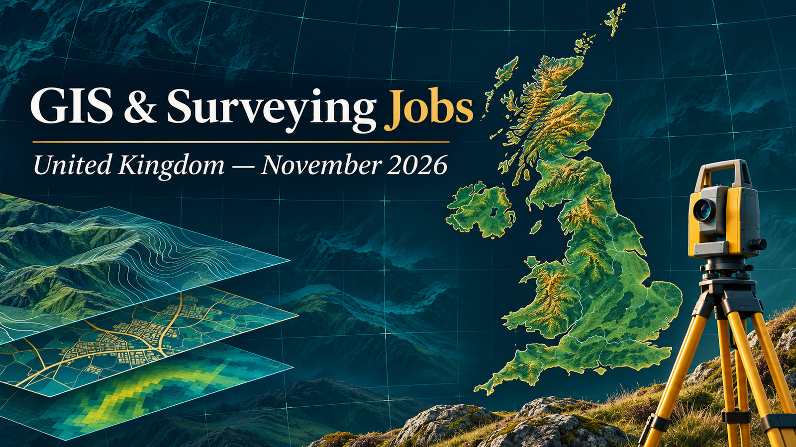
GIS jobs in United Kingdom November 2026 include public-sector spatial analysis, environmental data automation, heritage mapping and enterprise GIS for rail infrastructure. This edition brings together six distinct vacancies verified on 4 November 2026, with opportunities in Bristol, Glenrothes, Paisley, London, Birmingham and mainland-UK remote work. The selection includes permanent appointments and temporary contracts, with different expectations for experience and subject knowledge.
This is a focused shortlist rather than a measure of the whole UK labour market. The adverts reveal employers looking for dependable spatial data, well-documented workflows and the ability to communicate results to colleagues. No separate land-surveyor vacancy is included in this edition, and the remote-sensing connection is strongest in the heritage work. Read the duties carefully before deciding whether a title matches your background.
Job advertisements may be changed or closed by employers without notice. Every vacancy in this article was accessible and appeared open when checked on 4 November 2026. Always verify the details on the employer’s page before applying.
Closing today: the rail GIS Data Technician advert gives 4 November as its deadline and does not specify a time. Check with the recruiter immediately.
Compare six current UK geospatial vacancies
Salary figures reproduce the advertised units and are not take-home estimates. “Not stated” means the checked page did not provide the information. Agency listings identify the recruiter where the end employer is not disclosed.
| Country | Job title | Employer | Location | Level/experience | Work arrangement | Posting date | Deadline | Salary | Application |
|---|---|---|---|---|---|---|---|---|---|
| England | Geospatial Officer | West of England Mayoral Combined Authority | Bristol | GIS practitioner; technical assessment | Permanent, 37 hours; hybrid, typically 2–3 office days | 28 October 2026 | 18 November 2026, midnight | £39,481–£43,149/year | View Job & Apply |
| Scotland | Geographical Information Systems/Spatial Data Officer | Fife Council | Glenrothes | SCQF Level 7 or equivalent practical experience | Permanent, full-time, 36 hours; remote policy not stated | 28 October 2026 | 15 November 2026 | £34,914.86–£43,437.09/year | View Job & Apply |
| Scotland | GIS, Data & Research Analyst | Renfrewshire Council | Paisley | Relevant degree or equivalent experience; GIS and BI track record | Permanent, full-time, 35 hours; remote policy not stated | 30 October 2026 | 13 November 2026 | £46,957–£49,366/year | View Job & Apply |
| England | Heritage Mapping and Data Officer | Forestry England | National: district main office or Bristol | Relevant heritage/spatial-data experience; see job pack | Fixed term to 31 March 2029; 37 hours; hybrid possible | 19 October 2026 | 8 November 2026, 23:58 | £33,854/year | View Job & Apply |
| Wales / mainland UK remote | GIS Analyst / FME Specialist – Environmental Data | Pertemps, recruiting for an environmental organisation | Cardiff listing; mainland UK remote | Hands-on FME and environmental/ecological data experience | Full-time temporary contract to 31 March 2027 | Page displayed “posted 9 days ago” on 4 November | Not stated; page displayed 20 days remaining | £21.53/hour | View Job & Apply |
| England | GIS Data Technician | Carrington West, recruiting for a rail infrastructure GIS team | London or Birmingham | Experienced; ideally 5+ years; ArcGIS Enterprise | Permanent; three office days weekly | 23 October 2026 | 4 November 2026 — closes today; time not stated | London £41,400–£48,702.50; Birmingham £36,000–£43,355/year | View Job & Apply |
England
1. Geospatial Officer — West of England Mayoral Combined Authority
The combined authority needs a geospatial practitioner to improve data reliability, maintain its central catalogue and respond to requests from colleagues across the organisation. This is a service-oriented GIS position: success depends on making dependable information available to teams as well as solving technical problems. Candidates should connect examples of dataset curation, quality checking and communication to the authority’s operational needs. The assessment includes a short practical exercise with QGIS or ArcGIS Pro available, so prepare to explain a clear, reproducible workflow. The permanent appointment is based in Bristol and the employer describes a hybrid model, usually involving two or three office days weekly. The salary is £39,481–£43,149, with external appointments typically at the lower point. Applications close at midnight on 18 November. Interviews are provisionally planned for late November. Useful CV terms include data quality, metadata, spatial catalogues and stakeholder support.
4. Heritage Mapping and Data Officer — Forestry England
Forestry England is recruiting for the management and analysis of historic-environment information within its biodiversity programme. The role connects heritage evidence, spatial datasets and environmental reporting, working with advisers and other teams to keep information consistent and usable. It suits applicants able to combine GIS with careful data governance and collaborative working. The employer identifies a national base through a district main office or its Bristol office, with hybrid working possible. The appointment is fixed term until 31 March 2029; extension or permanence is possible but is not guaranteed. Pay is £33,854 for a 37-hour week. Applications close on 8 November at 23:58. The application requires a 200-word account of relevant experience and career history and a personal statement of no more than 500 words. Use the official system, since emailed applications are not accepted. Read the job pack and eligibility conditions before submitting.
6. GIS Data Technician — Carrington West, recruiting for a rail infrastructure GIS team
Carrington West is recruiting an experienced technician for GIS work supporting a major rail infrastructure programme. ArcGIS Enterprise and Pro are central requirements, together with practical experience maintaining and checking complex spatial datasets. The advert also names Portal or Online, coordinate systems and data interoperability. FME, Python, CAD integration, BIM and point-cloud knowledge are desirable additions. Applicants from other sectors can be considered; rail experience is not essential. A useful portfolio would show a controlled data handover, a validation routine or a reliable enterprise publishing workflow. The permanent role is based in London or Birmingham with three office days each week. Location-specific salary ranges are shown in the comparison table. The advertised closing date is today, 4 November, with no closing time stated. The application route and recruiter contact remained available at verification. Apply immediately and confirm acceptance before investing time in a full submission.
Scotland
2. Geographical Information Systems/Spatial Data Officer — Fife Council
Fife’s planning service is recruiting someone who can turn spatial and statistical information into evidence for place-based planning. The work involves interactive maps and visual communication, with opportunities to contribute to the next local development plan. Applicants need at least SCQF Level 7 education in a relevant subject or demonstrably equivalent practical skills. The advert welcomes different career stages, including recent graduates with GIS experience. It asks for spatial database knowledge, statistical interpretation and accurate digitising, with Esri software experience particularly relevant. Planning-system familiarity is useful, while training can be provided for IDOX Uniform. A strong application would explain how a dataset was checked, analysed and presented to support a planning decision. The permanent role carries a 36-hour week and annual pay of £34,914.86–£43,437.09. Applications close on 15 November. Follow the council’s application instructions and use specific evidence of technical work.
3. GIS, Data & Research Analyst — Renfrewshire Council
Renfrewshire’s Data Analytics and Research Team needs a GIS professional who can strengthen both operational mapping and wider use of evidence across council services. The analyst supports the corporate GIS lead within Policy and Partnership, connecting spatial information with business intelligence and knowledge management. Experience in local government or a similarly varied organisation is essential, together with a proven record in data work, GIS and BI tools. The council also expects confidence with public data sources and the ability to explain complex information clearly. Applicants should choose examples that demonstrate a complete analytical task, from understanding a service question to presenting an actionable result. A relevant degree or equivalent experience is required. The post is permanent, full-time and based at Renfrewshire House in Paisley, with a 35-hour week. Advertised annual pay is £46,957–£49,366. The deadline is 13 November and a Disclosure Scotland check applies.
Wales and mainland UK remote
5. GIS Analyst / FME Specialist – Environmental Data — Pertemps, recruiting for an environmental organisation
This assignment focuses on environmental data engineering for a woodland programme, with FME at the centre of the workflow. Pertemps is recruiting on behalf of an environmental organisation whose name is not disclosed on the advert. The analyst will integrate survey information, build validation processes and prepare reliable spatial outputs alongside ecological specialists. Practical experience with ecological datasets, repeatable FME processes and the handling of confidential information is required. The recruiter explicitly distinguishes the work from a conventional map-production or software-development post. Applicants should therefore demonstrate transformation logic, exception handling, documentation and quality control rather than relying on screenshots of finished maps alone. The job is advertised at £21.53 per hour, fully remote from mainland UK, on a temporary contract ending 31 March 2027. The page remained open with recruiter contact instructions when checked. No exact calendar application deadline was stated; confirm availability promptly with the recruiter.
Skills in demand across this shortlist
Data quality is the clearest common thread. Bristol needs dependable inputs and an organised catalogue; Fife needs planning information that can be analysed and visualised; Renfrewshire needs GIS linked to wider analytics. In environmental work, the same concern appears as repeatable validation and well-maintained evidence. Rail infrastructure adds enterprise publishing, interoperability and controls on complex datasets. A CV that explains checking, documenting and maintaining data will therefore have more relevance than a list of software names without examples.
The technology requirements vary. ArcGIS Enterprise is particularly important for the rail role, while FME is central to the environmental contract. Fife refers to Esri tools and planning systems. Bristol’s technical test permits QGIS or ArcGIS Pro. Do not assume every employer requires the same stack, and do not describe desirable tools as universal entry requirements. Choose the role whose essential criteria you can substantiate, then identify a small number of gaps you can realistically address.
Domain knowledge also matters. Heritage data, ecological surveys, local planning and infrastructure assets have different accuracy expectations, terminology and users. Explain the context of your previous work: the question being answered, the data limitations, the checks used and the decision supported. If your experience comes from another sector, show which methods transfer and acknowledge the subject knowledge you would need to learn.
How to prepare a strong UK GIS application
Start by separating essential requirements from desirable experience on the individual advert. Create a short evidence list before writing: one example for data management, one for analysis or automation, and one for communication. Each example should explain your contribution and outcome without inflating responsibility. For a team project, make clear which parts you delivered personally. Avoid claiming production experience from a tutorial or presenting confidential client information in a portfolio.
For an enterprise GIS application, describe the movement of data through a maintained system. Useful evidence might cover source formats, coordinate reference systems, quality checks, publishing and how users reported problems. Where automation is relevant, discuss failures and recovery as well as speed. A small workflow that runs reliably and can be understood by a colleague is stronger evidence than an unexplained script. These are application suggestions, not additional employer requirements.
For public-sector analysis, show how technical outputs were used. A planning map, dashboard or statistical summary should have a clear audience and purpose. Explain how you handled incomplete records, inconsistent geography or uncertainty. Renfrewshire explicitly values presentation and public data knowledge, while Fife connects GIS to planning. Tailoring examples around those uses helps a recruiter understand fit without having to infer it from a job title.
Follow each organisation’s submission rules. Forestry England specifies short written statements and does not accept emailed applications. Council recruitment pages may link to additional guidance or attachments, which should be read before completing forms. Recruiter-led applications can have different steps. Save a copy of the advert and your submitted answers so you can prepare for interview if the page changes after closing.
For a technical assessment, practise explaining the method as you work. Check the input reference system, inspect attributes, decide what validation is needed and record assumptions. A clean map is useful, but an assessor may also want to understand why you selected a method and how you know the output is trustworthy. Bristol confirms a short GIS test; do not assume the same assessment applies to the other vacancies.
Work arrangements, pay and eligibility
Read location conditions literally. The environmental contract is remote from mainland UK, which does not establish permission to work from another country. The rail appointment requires three office days weekly in London or Birmingham, and the advertised salaries differ by location. Bristol describes a hybrid pattern. Where a council advert does not state a remote policy, ask the employer instead of treating the vacancy as home-based.
Compare hourly and annual pay separately. The temporary environmental assignment has an hourly rate and a stated contract end date; permanent posts quote annual ranges. Benefits, pension arrangements, hours, travel and contract conditions can change the overall comparison. Do not convert the hourly rate to an annual package without understanding paid hours, leave and the engagement basis. Confirm those details directly before accepting an offer.
This roundup makes no promise of visa sponsorship or eligibility. Check the exact employer’s nationality, right-to-work, qualification and screening requirements where stated. An accessible application page is not evidence that every applicant can be hired. International candidates should ask specific questions about their circumstances and follow the employer’s official guidance. Qualifications and experience should be described accurately, with equivalency evidence supplied when requested.
Application order for November
Deal first with the rail advert if it matches your experience, because its deadline is today. Forestry England closes on 8 November, followed by Renfrewshire on 13 November, Fife on 15 November and Bristol on 18 November. The environmental recruiter does not give a fixed calendar deadline in the checked description; contact it promptly rather than assuming the remaining-days counter guarantees availability. Employer pages take priority over this summary.
Use a simple application tracker recording the source URL, closing date, required documents and submission confirmation. Prepare a focused base CV, then edit the opening profile and evidence to match each role. Leave time for the actual application form: some employers assess written answers more closely than the attached CV. Check that links, files and contact details work before submitting, and keep a copy of any confirmation.
Frequently asked questions
Are all six jobs still open?
All six vacancy pages showed an application route, recruiter instructions or a current deadline when rechecked on 4 November 2026. Availability can change immediately afterward. The rail role closes today, so confirm its status before applying.
Can a graduate apply?
Fife explicitly welcomes recent graduates who already have relevant GIS experience and meet its qualification or equivalent-skills criteria. Several other listings require specialist practical experience. Read each essential-criteria section rather than assuming a technician title means entry level.
Is there a fully remote option?
The environmental FME contract is advertised as fully remote from mainland UK. That restriction matters. Other roles are office-based or hybrid where stated; no international remote arrangement is confirmed here.
Are these all surveying or remote-sensing positions?
No. This edition mainly covers GIS and spatial data roles, with heritage mapping and environmental information providing related specialisms. The series title covers the wider geospatial field, but no dedicated land-surveyor opening passed into this particular shortlist.
Where can I find more career context?
Compare the previous UK careers edition, the France geospatial careers roundup and the November United States jobs update. Older editions are background reading; their vacancy deadlines may have passed.
Choose the role that fits your evidence
These six opportunities reward different combinations of GIS fundamentals, data stewardship, automation and subject knowledge. Choose the roles whose essential requirements align with your work, open the direct advert and tailor the submission to the stated process. Follow TechGeo Geo-News for the next regional careers update.