Preserving History with GIS in Archaeology
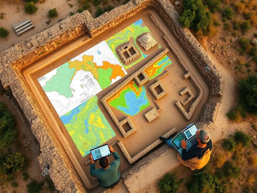
Geographic Information Systems (GIS) has changed the game in archaeology. It helps keep our cultural heritage safe. This tech makes site mapping, data analysis, and documenting historical sites better. It lets archaeologists find out more about the past with great accuracy and speed.
GIS gives archaeologists a new way to study ancient civilizations. They can make detailed digital maps and find hidden connections. This tech lets them share their discoveries with the world in new ways.
GIS does more than just map sites. It’s key to protecting our cultural treasures. It gives accurate info on sites, helping everyone make better choices for conservation.
We’ll look at GIS’s big impact on archaeology. We’ll see how it’s used in site analysis and data collection. And we’ll see how it helps keep our cultural heritage safe for the future. Let’s explore how GIS and archaeology work together.
Key Takeaways
- GIS has revolutionized the way archaeologists approach site mapping and data analysis.
- GIS provides a comprehensive, data-driven approach to the study of ancient civilizations.
- GIS enables the accurate documentation, preservation, and sharing of archaeological findings.
- GIS empowers decision-makers in the conservation and management of cultural heritage sites.
- The integration of GIS in archaeology has become a crucial component in the broader effort to protect and preserve our cultural legacies.
Introduction to GIS in Archaeology
Geographic Information Systems (GIS) have changed archaeology a lot. They give archaeologists tools to work with spatial data. This has changed how we study the past.
What is GIS?
GIS is a computer system that handles geographically related data. It helps archaeologists manage and analyze data about sites and artifacts. This makes it easier to understand the past.
Importance of GIS in Archaeological Research
- GIS helps manage and organize data. It keeps all relevant data in one place.
- It improves how we analyze sites. GIS tools show how different parts of a site relate to each other.
- GIS makes it easy to create maps and visualizations. These help explain archaeological findings.
- It also helps archaeologists work together. They can share data easily, no matter where they are.
GIS helps archaeologists understand the past better. It lets them make informed decisions about preserving cultural sites. Using GIS tools in archaeology opens up new ways to explore and understand history.
Historical Background of Archaeological Mapping
Exploring the history of archaeological mapping is fascinating. It shows how we’ve moved from hand-drawn maps to digital tools. This change has greatly improved how we save and study our cultural past.
Traditional Methods of Site Mapping
At first, archaeologists used slow, detailed methods to map sites. They drew maps, took measurements, and recorded data by hand. These old ways were key to understanding ancient cultures.
Transition to Digital Mapping Techniques
New technologies like GIS have changed archaeological mapping forever. Now, archaeologists make detailed, interactive digital maps. This digital documentation helps protect our history for the future.
Digital mapping has made archaeology better. It lets us see more and understand our cultural heritage deeper. GIS helps us find new insights and patterns in our past.
The Role of GIS in Site Analysis
Geographic Information Systems (GIS) have changed how archaeologists study sites. They help gather, store, and analyze data about places. This gives a deep look at how sites relate to their surroundings.
Spatial Analysis in Archaeology
GIS is key in archaeology for spatial analysis. It maps artifacts and features, showing patterns not seen before. By combining this with other data, like maps and records, researchers get a clearer picture of sites.
Identifying Patterns and Relationships
GIS tools help archaeologists see and study spatial patterns. They find out about past human life, like where people lived and what they used. This helps us understand ancient societies better.
| GIS Tool | Application in Archaeology | Benefit |
|---|---|---|
| Spatial Interpolation | Estimating values at unsampled locations | Identifying hidden patterns and trends |
| Viewshed Analysis | Determining visibility and sight lines | Understanding spatial relationships and cultural practices |
| Least-Cost Path Analysis | Modeling historical transportation routes | Reconstructing past movement and trade networks |
By using site analysis, GIS tools, and spatial patterns, archaeologists gain deep insights. This helps make better decisions and protect our heritage.
Data Collection Methods in GIS
Geospatial technologies have changed how archaeologists collect and analyze data. Two key methods are remote sensing and surveying with ground truthing.
Remote Sensing Techniques
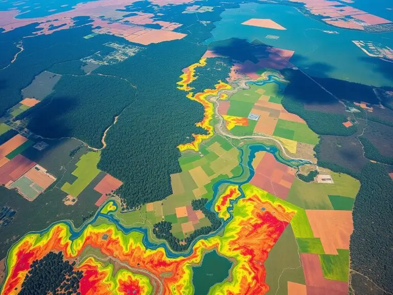
Remote sensing uses satellite images and aerial photos to study the Earth’s surface. It’s crucial in archaeology for finding and mapping sites. Tools like multispectral imaging and LiDAR help spot features and signs of past life that are hard to see.
Surveying and Ground Truthing
Ground truthing, or field surveying, is vital to check and improve remote sensing data. Archaeologists use methods like total station surveying and GPS to get detailed site information. This data is then mixed with remote sensing data to make detailed GIS models and maps.
| Data Collection Method | Description | Advantages |
|---|---|---|
| Remote Sensing | Satellite imagery, aerial photography, and other aerial/space-based platforms | Covers a broad area, identifies surface features and subsurface anomalies |
| Surveying and Ground Truthing | Total station, GPS, geomagnetic surveys, and other field-based methods | Provides detailed, on-the-ground data to verify and refine remote sensing findings |
Combining remote sensing and ground truthing is key for making accurate GIS models of sites. It helps researchers understand the past and protect cultural heritage.
Benefits of GIS for Archaeological Site Mapping
Geographic Information Systems (GIS) have changed how archaeologists map and analyze sites. GIS technology has made these tasks more accurate, precise, and efficient.
Enhanced Accuracy and Precision
GIS is great for mapping sites because it captures data very accurately. Tools like GPS and remote sensing help archaeologists record site details precisely. This means they can analyze data better, gaining insights into past human activities.
Cost-Effectiveness and Efficiency
Using GIS for mapping is also cost-effective and efficient. It automates tasks, saving time and resources. This helps archaeologists make better decisions and reach their goals faster.
GIS does more than just improve accuracy and efficiency. It also helps preserve cultural heritage. By creating digital records, GIS aids in protecting and managing these valuable resources.
| Metric | Traditional Methods | GIS-based Mapping |
|---|---|---|
| Spatial Accuracy | Limited to the precision of manual measurements | Highly accurate, with sub-meter precision using GPS and other spatial technologies |
| Data Integration | Fragmented, with challenges in combining different data sources | Seamless integration of various data types, including satellite imagery, field surveys, and historical records |
| Efficiency | Time-consuming and labor-intensive, with potential for human error | Streamlined workflow, automated data processing, and real-time analysis |
GIS technology has greatly improved archaeological site mapping. It enhances accuracy, precision, and efficiency. GIS is now a key tool in preserving and understanding our cultural heritage.
Integrating GIS with Other Technologies
In the world of archaeology, using Geographic Information Systems (GIS) with new technologies is key. By mixing GIS with Global Positioning System (GPS) and 3D modeling, researchers can explore and study sites in new ways. This helps in preserving and understanding archaeological sites better.
Combining GIS with GPS
GIS and GPS together have changed how archaeologists collect and study data. GPS gives exact locations, which GIS software can use. This lets researchers make detailed maps of sites, showing where things are in relation to each other and the landscape.
Role of 3D Modeling in Archaeology
GIS and 3D modeling together have changed how we document and see sites. They let researchers make detailed, interactive digital models of sites and artifacts. These models help us understand the site’s layout and how things are connected. They also make it easier to work together and preserve sites virtually.
| Technology Integration | Benefits in Archaeology |
|---|---|
| GIS + GPS | Precise site mapping, spatial data collection, and geospatial analysis |
| GIS + 3D Modeling | Detailed digital documentation, virtual preservation, and interactive site visualization |
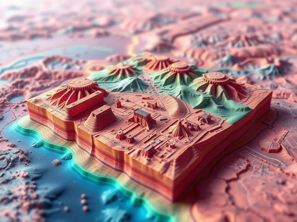
The mix of GIS, GPS, and 3D modeling is a powerful tool for archaeology today. It lets researchers go deeper into the past and keep cultural heritage safe for the future.
Challenges in Implementing GIS
Archaeological professionals face many challenges when using Geographic Information Systems (GIS). Managing huge amounts of data from excavations and surveys is a big issue. They need strong data management plans. Also, making sure different software and file formats work together is hard, requiring a good grasp of GIS technology.
Data Management and Compatibility Issues
Good data management is key for GIS success in archaeology. Archaeologists must create detailed plans for handling and accessing the large amounts of spatial data. Problems with data formats, storage, and mixing data can slow down GIS use, needing special skills and knowledge.
Also, making GIS software work well with other tools like surveying gear and 3D models is a big challenge. It’s important for data to flow smoothly between these systems to get the most out of GIS.
Training and Skill Development
Using GIS implementation in archaeology needs special skill development. Learning GIS software, spatial analysis, and data management can be hard. It’s important for the team to have the right skills to use GIS technology well.
Archaeologists need ongoing training to keep up with GIS advancements. Working with GIS experts and using easy-to-use software can help more people use this technology in their research.
Case Studies: GIS in Archaeological Projects
Geographic Information Systems (GIS) have changed archaeology a lot. They help researchers find new things and keep our culture safe. This section looks at some amazing examples of GIS in action worldwide.
Notable Examples from Around the World
The ancient city of Çatalhöyük in Turkey is a great example. Archaeologists used aerial photos and laser scans to make a detailed 3D model. This model shows how the city was laid out and built.
In Western Australia, GIS helped save the rock art in the Dampier Archipelago. Researchers used GPS and 3D models to record the ancient petroglyphs. This work helps protect these important artworks from damage.
Lessons Learned and Best Practices
These examples show how important it is to use GIS in a team effort. You need both tech skills and knowledge of the site’s history. Good data management, teamwork, and talking to the community are also key.
These best practices teach us to keep improving and adapting. By using new tech and working together, archaeologists can make the most of GIS. This helps us learn more about our past and keep our culture alive for future generations.
Future Trends in GIS and Archaeology
As archaeology grows, GIS is set to open new doors. People are looking forward to new tech and software. These will change how we map and study archaeological sites.
Advances in Technology and Software
New tech is changing how archaeologists work. High-resolution satellite images, drone photos, and precise GPS are helping them gather data better. Also, easier-to-use GIS software is making these tools available to more archaeologists.
Emerging Research Areas and Opportunities
GIS and archaeology are creating new research paths. Archaeologists are using predictive models to find new sites. They’re also using 3D models and virtual reality to show off their finds. Plus, GIS is helping archaeology reach out to the public through social media and crowdsourcing.
| Future Trends | Technological Advancements | Research Opportunities |
|---|---|---|
| Predictive modeling | High-resolution satellite imagery | Citizen science and public engagement |
| 3D modeling and virtual reality | Drone-based aerial photography | Integrating GIS with social media |
| Interdisciplinary collaboration | Real-time kinematic (RTK) GPS | Enhancing interpretation and presentation of archaeological findings |
The future of GIS and archaeology is exciting. It will change how we learn about and save our cultural heritage. Archaeologists are ready to use these new tools and ideas to make groundbreaking discoveries.
Preservation of Cultural Heritage
The world is changing fast, making it more important to save our cultural heritage. Geographical Information Systems (GIS) are key in this effort. They help us protect our shared history.
GIS lets archaeologists and conservationists work more efficiently. They can now face the challenges of preserving cultural heritage with better tools.
GIS in Conservation Efforts
GIS has changed how we save archaeological sites and historical landmarks. It combines different data to create detailed digital maps. These maps show the site’s features, condition, and threats.
This info is crucial for making effective conservation plans. It helps focus on the most important areas.
Community Engagement and Public Outreach
Everyone must help save our cultural heritage. GIS helps experts connect with the community. It uses digital platforms and visualizations to share information and involve people in conservation.
“GIS has become an indispensable tool in the quest to safeguard our cultural legacy, seamlessly blending cutting-edge technology with the timeless values of heritage preservation.”
GIS is vital for saving our cultural heritage. It helps in conservation and outreach. As we use GIS with new technologies, we’ll keep our heritage safe for the future.
Ethical Considerations in GIS Mapping
Geographic Information Systems (GIS) are becoming more common in archaeology. This raises important questions about ethics. Privacy and cultural sensitivity are at the forefront.
Privacy and Cultural Sensitivity
Archaeologists face a tough choice when sharing GIS data. Making it open can help everyone work together and learn more. But, it also raises concerns about privacy and the safety of cultural sites.
Many sites are sacred to indigenous communities. Sharing data without care could harm their rights and heritage. It’s crucial for archaeologists to prioritize ethical considerations and protect privacy and sensitivity.
Balancing Access and Protection
Finding the right balance is key in using GIS ethically. Researchers must weigh the risks and benefits of sharing data. They need to think about both scientific and social impacts.
In some cases, keeping data private is necessary to stop looting. In others, sharing it can help with research and conservation. Archaeologists should work with local communities to create ethical guidelines. These guidelines should respect cultural considerations while moving the field forward.
“The ethical use of GIS in archaeology requires a nuanced approach that prioritizes the protection of sensitive information and the rights of indigenous communities.”
Conclusion: The Future of GIS in Archaeological Site Mapping
Geographic Information Systems (GIS) have changed archaeology a lot. They give us great tools for keeping and studying cultural heritage. The future of GIS in mapping sites is very promising. This is thanks to new tech and the hard work of researchers everywhere.
Importance of Continued Research and Collaboration
Keeping up with GIS in archaeology is key to finding new things and moving forward. Working together, archaeologists, GIS experts, and industry leaders can make big strides. They can solve data problems and make GIS a part of archaeology smoothly.
Call to Action for Archaeological Professionals
Archaeological professionals need to keep learning and using new GIS tech. This will help them analyze sites better, manage data well, and share their work with others. By doing this, they help protect our cultural heritage for the future.

