Predictive Analysis with Geospatial Data Mining
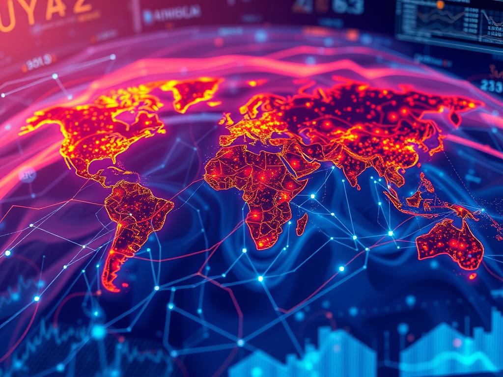
In today’s world, using location-based information is key for businesses. Geospatial data mining mixes spatial analysis and predictive modeling. It changes how we make decisions and find important insights. This article looks at how location-based data helps make forecasts for better decision-making.
Geospatial data includes info about where things are and their attributes. It’s valuable in the big data and advanced analytics era. By mixing this data with other sources, like demographics and weather, businesses can understand their environment better. This leads to smarter, data-driven choices.
Predictive analysis uses stats and machine learning to forecast future trends. When used with geospatial data, it reveals insights not seen before. This helps businesses predict and react to changes more effectively.
Combining geospatial data mining and predictive analysis can change many industries. This includes urban planning, transportation, environmental monitoring, and disaster management. By using location-based data, businesses can make more accurate predictions. This leads to better decisions, more efficient use of resources, and better results for everyone involved.
Key Takeaways
- Geospatial data mining combines spatial analysis and predictive modeling to generate valuable insights.
- Integrating geospatial data with other data sources can provide a deeper understanding of an organization’s operating environment.
- Predictive analysis applied to geospatial data can yield insights that enable more informed, data-driven decision-making.
- The combination of geospatial data mining and predictive analysis has the potential to transform a wide range of industries.
- Leveraging location-based data can lead to enhanced decision-making, improved resource allocation, and better outcomes for stakeholders.
Introduction to Geospatial Data Mining
Geospatial data mining is a key tool in data analysis. It helps find important insights from location-based data. This field uses GIS and data mining to find patterns and trends in spatial data.
What is Geospatial Data Mining?
Geospatial data mining finds useful information in large datasets with a geographic focus. It uses data mining algorithms to find patterns and predictions in data like satellite images and GPS coordinates.
Importance of Predictive Analysis in Geospatial Context
Predictive analysis and spatial analysis are vital in geospatial fields. Geospatial data mining helps organizations make better decisions. It improves planning and resource use, and predicts future trends.
This approach helps solve challenges and find new opportunities. It’s all about making smart decisions based on location.
| Key Benefits of Geospatial Data Mining | Applications |
|---|---|
|
|
By using geospatial data mining and predictive analysis, organizations understand their surroundings better. They make smarter choices and find new ways to solve problems.
Key Concepts in Geospatial Data
Understanding geospatial data is key for good predictive analysis. It includes a lot of information tied to specific places or locations. This data falls into two main types: vector and raster.
Types of Geospatial Data
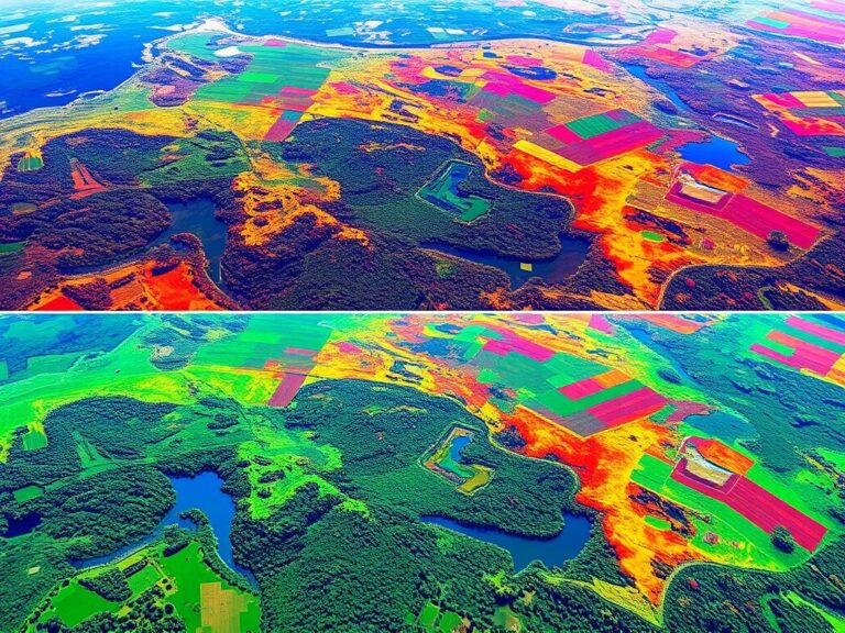
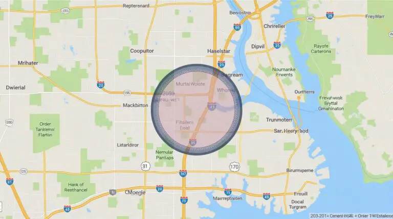
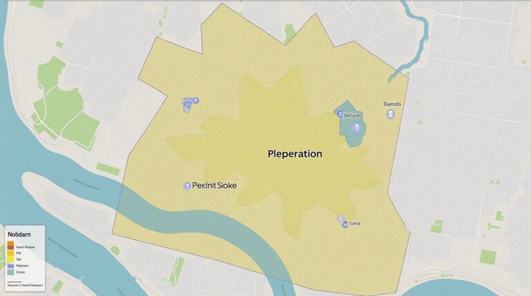
Vector data shows geographic features as points, lines, or shapes. It’s used for things like roads, buildings, or property lines. Raster data, however, is like images. It shows continuous information, like satellite pictures or aerial shots.
Sources of Geospatial Data
- Satellite and aerial imagery from government agencies and private providers
- Global Positioning System (GPS) data from mobile devices and dedicated trackers
- Crowdsourced data from platforms like OpenStreetMap and social media
- Administrative and census data from local, state, and national governments
Geospatial Data Representation
Geospatial data comes in many digital formats. Each has its own uses. Formats like shapefiles, GeoJSON, KML, and GeoTIFF help store and share data. They also keep track of important details and location info.
Knowing about geospatial data types, data sources, and spatial representation is vital. It helps use geospatial data well in predictive analysis and making decisions.
The Process of Geospatial Data Mining
Geospatial data mining is a complex process. It starts with collecting data and ends with gaining insights. Let’s explore the main steps involved.
Data Collection Methods
The first step is gathering data. This can be done through remote sensing, GPS, and crowdsourcing. Remote sensing, like satellite images, offers a lot of spatial data. This data helps find patterns and trends.
Data Cleaning and Preparation
After collecting data, it’s important to make sure it’s good quality. This means using data preprocessing to clean and prepare it. Fixing errors and missing values makes the data ready for analysis.
Data Analysis Techniques
Now, the data is ready for analysis. Geospatial data miners use spatial analysis tools to find insights. Techniques like clustering and predictive modeling help understand the data better.
| Data Collection Method | Description |
|---|---|
| Remote Sensing | Satellite imagery, aerial photography, and other technologies that capture spatial data from a distance. |
| Global Positioning System (GPS) | Satellite-based navigation system that provides location and time information. |
| Crowdsourcing | Collaborative data collection through the participation of a large number of individuals. |
By using geospatial data collection, data preprocessing, and spatial analysis tools, we can get valuable insights. These insights help make informed decisions in many fields.
Tools and Technologies for Geospatial Data Mining
Exploring geospatial data mining needs a strong toolkit. You’ll need GIS software, spatial analysis tools, and data visualization platforms. These tools help turn complex data into useful insights.
Popular Software Solutions
Top names in geospatial data mining include ArcGIS and QGIS. These GIS software tools offer everything from data management to interactive mapping. Cloud-based options like Google Earth Engine and Microsoft’s Planetary Computer also provide easy access to large datasets and advanced tools.
Programming Languages for Data Analysis
For a more direct approach, Python and R are key. These languages let users do detailed spatial analysis, automate tasks, and create custom algorithms. They’re perfect for specific research or business needs.
Visualization Tools
- Tableau and Power BI: These data visualization tools make geospatial data interactive and easy to understand.
- Mapbox and Leaflet: Open-source libraries for creating dynamic, web-based maps and interactive visualizations.
- QGIS and ArcGIS: These GIS software solutions also have great mapping and visualization tools.
Using these tools, professionals can uncover patterns, predict trends, and make informed decisions. This is how geospatial data mining shapes the future.
Predictive Analysis: An Overview
In the fast-paced world of geospatial data, predictive analysis is a key tool for businesses. It helps them make smart decisions based on data. Leaders can predict trends, improve operations, and find hidden insights in data patterns.
Defining Predictive Analysis
Predictive analysis uses stats, machine learning, and advanced analytics to find important insights. It looks at past data and current trends to forecast the future. This way, companies can spot risks and make choices that lead to success.
Benefits of Predictive Analysis
Using predictive modeling and forecasting in geospatial data brings many benefits:
- It helps in making better decisions by spotting trends and patterns.
- It makes operations more efficient by saving resources and finding cost cuts.
- It helps predict and avoid risks like natural disasters or market changes.
- It gives a competitive edge by using insights to outdo rivals and offer better customer service.
By using predictive analysis, companies can turn their geospatial data into a valuable asset. This unlocks new chances for growth, innovation, and success.

“Predictive analysis is not about predicting the future, but about understanding the present – and using that understanding to guide our actions and shape our future.” – Thomas H. Davenport, author and professor
Case Studies: Successful Applications
Geospatial data mining has changed the game in many areas. It helps with urban planning, environmental monitoring, and disaster management. This tech gives insights that help solve big problems.
Urban Planning and Geospatial Data
In urban planning, this tech is a game-changer. It lets planners use data to improve cities. They can plan better zones, roads, and resources.
This leads to cities that are better to live in. They are more sustainable and can handle challenges better.
Environmental Monitoring
It’s also key for the environment. It uses satellite images and sensors to track changes. This helps protect our planet and fight climate change.
Disaster Management
For disasters, it’s crucial. It helps predict and prepare for disasters. It also helps in the recovery by mapping damage and coordinating relief.
These examples show how powerful geospatial data mining is. It’s changing how we tackle big issues. We’ll see more uses of this tech in the future.
“Geospatial data mining has the potential to transform the way we approach urban planning, environmental conservation, and disaster preparedness. The insights derived from this technology can lead to more informed decision-making and better outcomes for our communities and our planet.”
Challenges in Geospatial Data Mining
Geospatial data mining has great potential for predictive analysis. Yet, it faces many challenges. It’s key to tackle these issues to fully use spatial data and get reliable, accurate, and private insights.
Data Privacy and Security
Data privacy is a big concern in geospatial data mining. This data often includes sensitive location information. It’s important to follow strict privacy rules and use strong security to protect personal data.
Accuracy and Reliability Issues
Making sure spatial data accuracy and reliability is tough. Data collection methods, sensor limits, and environmental factors can lead to errors. It’s vital to clean, validate, and check data quality to build trust in predictive models.
Technical Limitations
Geospatial data mining also has technological constraints. Issues like data storage, processing power, and combining different data sources are big challenges. We need to keep improving technology and data management to overcome these problems.
It’s essential to tackle these challenges for geospatial data mining’s future. By focusing on data security, enhancing data quality, and using new technologies, we can reach its full potential.
Enhancing Predictive Models with Geospatial Data
In today’s big data world, using machine learning with geospatial data is a big leap forward for predictive analytics. It lets companies get more precise and accurate with their forecasts.
Machine Learning Approaches
Advanced machine learning, like neural networks and decision trees, is really good at finding patterns in geospatial data. These methods reveal hidden links between location data and outcomes. This makes predictive models stronger and more reliable.
Integrating Social Media Data
Social media is full of useful info for mining geospatial data. By looking at what people post and where they are, companies can understand what people think and do. This info can be added to predictive models.
Real-Time Data Utilization
With real-time geospatial data from GPS, satellite images, and IoT sensors, companies can make better decisions faster. This data helps them stay ahead of market changes.
| Technique | Benefits | Example Applications |
|---|---|---|
| Machine Learning | Improved accuracy, scalability, and adaptability of predictive models | Urban planning, supply chain optimization, risk management |
| Social Media Analytics | Enhanced understanding of consumer behavior and sentiment | Targeted marketing, crisis response, public policy development |
| Real-Time Geospatial Data | Timely decision-making, rapid response to changing conditions | Traffic management, environmental monitoring, emergency response |
By using these new ways to work with geospatial data, companies can get a big boost in predictive power. This puts them ahead in their industries.
Future Trends in Geospatial Data Mining
The world is getting more digital, and AI in GIS and big data analytics are key. They’re changing how we get insights from geospatial intelligence. Artificial intelligence and machine learning are making big changes.
Advances in AI and Machine Learning
AI and machine learning are making geospatial data mining better. They can quickly find patterns in big data. This helps in many areas, like planning cities and watching the environment.
The Role of Big Data Analytics
Big data analytics has grown a lot, changing the geospatial field. It helps us understand and use big data. This leads to better planning and decisions.
Increasing Demand for Geospatial Insights
More people want geospatial intelligence in many fields. This includes transportation, safety, and health. As more see the value of location data, the market will grow. Experts in using this data will be needed, leading to more progress.
| Trend | Impact | Key Drivers |
|---|---|---|
| Advances in AI and Machine Learning | Increased automation, predictive power, and efficiency in geospatial data mining | Rapid progress in AI algorithms, growing computing power, and availability of large geospatial datasets |
| The Role of Big Data Analytics | Enhanced ability to extract meaningful insights from vast, complex geospatial data | Exponential growth in data volumes, advancements in data storage and processing technologies, and the need for data-driven decision-making |
| Increasing Demand for Geospatial Insights | Greater adoption of geospatial data mining across diverse industries and applications | Recognition of the strategic value of location-based information, advancements in geospatial technologies, and the need for data-driven decision-making |
The future of geospatial data mining looks bright. AI in GIS, big data analytics, and the need for geospatial intelligence will keep growing. This will help organizations make better decisions with data.
Best Practices for Effective Geospatial Data Mining
Geospatial data mining needs a smart plan, not just collecting and analyzing data. Set clear goals, check data quality, and keep learning to get the most from your insights.
Establishing Clear Objectives
Start by setting clear, measurable goals. What do you want to find out? What insights do you need? This focus helps keep your analysis on track and useful for your team.
Ensuring Data Quality
Data quality is key in data quality management for geospatial mining. Bad data can lead to wrong conclusions and bad decisions. Use strict data cleaning and validation to keep your analysis reliable.
Continuous Learning and Improvement
Geospatial mining keeps changing with new tech and methods. Foster a culture of ongoing learning and improvement. This way, your team can always improve and stay current.
Following these best practices lets organizations fully use their geospatial data. This leads to better, data-driven decisions that bring real change.
Conclusion: The Future of Predictive Analysis
The future of predictive analysis is all about geospatial data mining. The importance of future of GIS and geospatial technology trends is huge. These advancements change how we see and act in the world.
The Growing Importance of Geospatial Data
Geospatial data is now key in predictive analysis. It gives us deep insights into patterns and trends. This data is crucial for planning cities, monitoring the environment, and managing disasters.
It helps us make better decisions with data. This is a big change, making a big difference.
Final Thoughts on Trends and Applications
Looking ahead, new technologies like AI, machine learning, and big data analytics will be vital. They will help us use geospatial data even better. The need for these insights will keep growing.
Those who use these tools well will lead the way. By using predictive analysis and geospatial data, we can create a better future. A future that is sustainable, resilient, and thriving.

