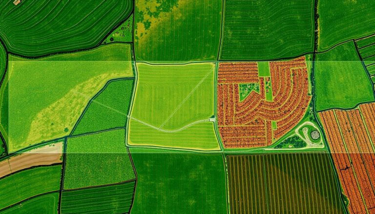
Multispectral vs Hyperspectral Imagery Key Differences
In the fast-changing world of remote sensing, knowing the difference between multispectral and hyperspectral imagery is key. Both are important for collecting and analyzing data. They help in many areas, like watching the environment and improving farming. It’s important to understand their differences to pick the right tool for the job.
Key Takeaways
- Multispectral imagery captures data in a few specific bands. Hyperspectral imagery gets continuous data across more of the spectrum.
- Hyperspectral imaging gives more detailed data. It helps find specific materials and chemicals on surfaces.
- Multispectral systems are cheaper and used in many ways. Hyperspectral systems offer better data analysis and detail.
- Choosing between multispectral and hyperspectral depends on what you need, your budget, and how detailed you want the data to be.
- New tech in remote sensing is making both multispectral and hyperspectral better. This opens up new chances for many fields and research.
Understanding the Fundamentals of Remote Sensing Technology
Remote sensing has changed how we collect and analyze environmental data. It uses special sensors to detect and measure electromagnetic radiation. This radiation helps create detailed images and data about our planet and atmosphere.
Basic Principles of the Electromagnetic Spectrum
The electromagnetic spectrum is key to remote sensing. It includes all wavelengths and frequencies of electromagnetic radiation. This spectrum, from visible light to infrared and ultraviolet, offers a wealth of information.
By understanding different spectral bands, researchers can learn about the Earth’s features. They can discover what something is made of, its structure, and its characteristics.
Evolution of Remote Sensing Methods
Remote sensing has come a long way, from aerial photography to today’s satellite systems. New sensors and imaging techniques have improved data collection. Now, we have multispectral and hyperspectral imaging.
These technologies capture a wider range of the electromagnetic spectrum. They give us a more detailed view of the Earth’s features.
Remote sensing technology keeps getting better. It now offers insights in many areas. It helps monitor natural resources, study the environment, map cities, and aid in disaster relief.
What Makes Multispectral Imaging Unique
Multispectral imaging is a special remote sensing technology. It captures data in many spectral bands. This is different from single-band or RGB cameras, which only see a few colors.
It can see in visible, near-infrared, and sometimes shortwave infrared wavelengths. This wide range of vision is key to its power.
This spectral resolution is why multispectral imagery is great for land cover classification. It helps us understand the Earth’s surface in detail. By looking at the unique colors of different materials, it can tell us what’s on the ground.
For example, it can spot vegetation, water, soil, and buildings. This is very useful for many tasks.
| Feature | Multispectral Imagery | Hyperspectral Imagery |
|---|---|---|
| Spectral Bands | 3-10 discrete bands | Hundreds of continuous bands |
| Spectral Resolution | Moderate | High |
| Applications | Land cover classification, vegetation monitoring, water quality assessment | Mineral exploration, environmental monitoring, precision agriculture |
The ability to capture multispectral imagery at high resolutions is a big plus. It’s useful for many things, like farming, city planning, and taking care of the environment.
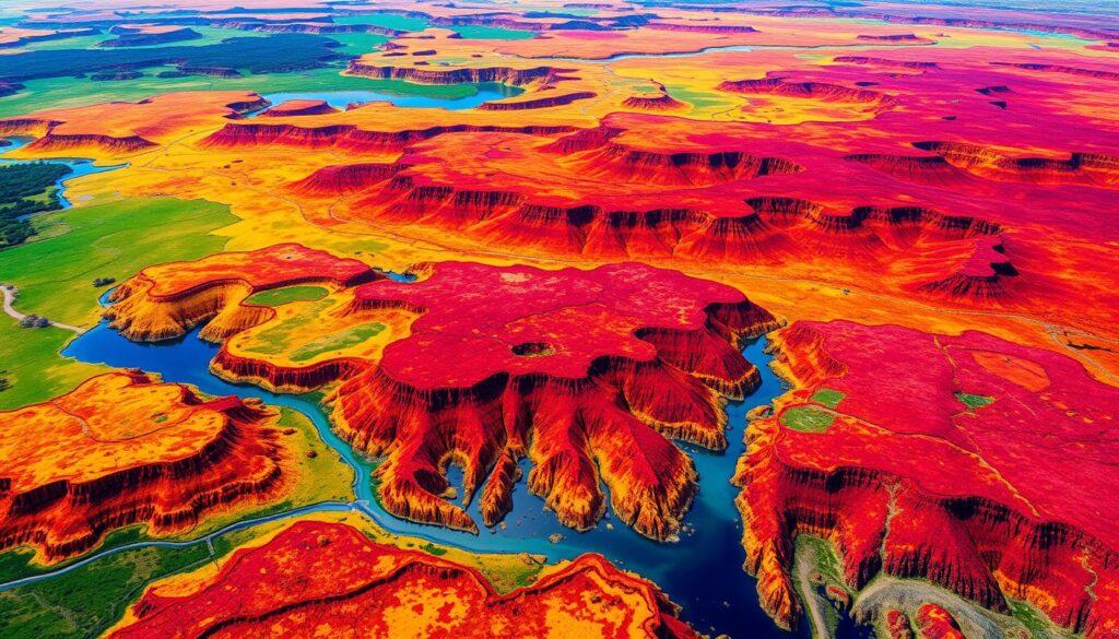
Exploring Hyperspectral Imaging Capabilities
Hyperspectral imaging is a cutting-edge technology in remote sensing. It surpasses traditional multispectral imaging. Unlike multispectral systems, hyperspectral sensors gather data across a wide range of the electromagnetic spectrum.
Continuous Spectral Bands
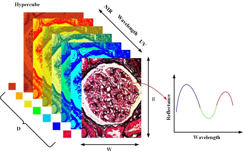
Hyperspectral imagery captures light reflectance in hundreds or thousands of narrow bands. This detailed data helps analyze the unique spectral signatures of various materials and surfaces.
Advanced Data Collection Methods
Hyperspectral imaging uses advanced methods like push-broom scanning. These methods collect high-resolution spatial and spectral data at the same time. This detailed data analysis helps understand the environment or subject matter in depth.
Spectral Signatures and Their Significance
The data from hyperspectral sensors reveals unique spectral signatures of materials and features. These signatures are like fingerprints, offering insights for many applications. They are crucial in fields like agriculture and mineral exploration.
With hyperspectral imagery, we can better understand our world. It opens doors to making informed decisions and solving problems effectively.
Multispectral Hyperspectral Imagery: Technical Specifications
Multispectral and hyperspectral imagery are key in remote sensing. Each has its own tech specs, fitting different uses. Knowing these differences helps pick the best tool for your needs.
Spectral resolution sets them apart. Multispectral sensors capture data in a few broad bands. These bands are in the visible, near-infrared, and short-wave infrared. On the other hand, hyperspectral sensors gather info across a continuous, dense spectrum. This gives a detailed spectral signature for each pixel.
| Specification | Multispectral Imagery | Hyperspectral Imagery |
|---|---|---|
| Spectral Resolution | Fewer, broader spectral bands | Continuous, narrow spectral bands |
| Spatial Resolution | Typically coarser | Often finer |
| Data Volume | Smaller file sizes | Significantly larger file sizes |
| Data Processing | Less computationally intensive | More complex and resource-intensive |
Hyperspectral imagery’s high spectral resolution means more detailed data analysis. It can spot small changes in materials or objects. But, it also means bigger data and harder processing.
It’s important to understand the tech differences between multispectral and hyperspectral imagery. This helps choose the right remote sensing solution for your needs.
Applications Across Different Industries
Many industries use multispectral and hyperspectral imagery in new ways. These technologies help solve big challenges. They change how we see and interact with our world, from farming to finding minerals and protecting the environment.
Agriculture and Vegetation Monitoring
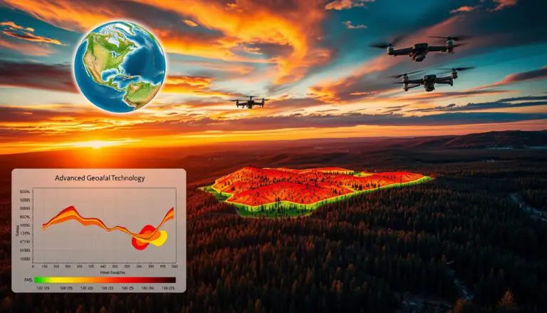
In farming, these images are key for checking crop health. They spot disease or stress early and help use resources better. This leads to more productive and sustainable farming.
Mineral Exploration
Geologists use these images to find minerals. They can see small changes in rocks and soils. This helps find valuable resources that are hard to find otherwise.
Environmental Assessment
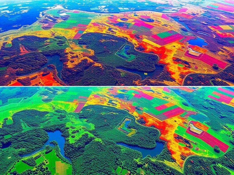
These images are also vital for the environment. They help check land use, habitat health, and changes over time. This info helps make better choices for the environment and our future.
| Industry | Applications | Key Advantages |
|---|---|---|
| Agriculture and Vegetation Monitoring |
|
|
| Mineral Exploration |
|
|
| Environmental Assessment |
|
|
“Multispectral and hyperspectral imaging technologies have transformed the way we approach critical challenges across a diverse range of industries.”
Data Processing and Analysis Methods
In the world of multispectral and hyperspectral imagery, processing and analyzing data is key. It unlocks a lot of insights. Image processing and data analysis algorithms are at the heart of this. They help us get valuable information from the spectral signatures these technologies capture.
Data preprocessing is a crucial first step. It includes tasks like radiometric and atmospheric correction, geometric rectification, and image enhancement. These steps make sure the data is accurate and ready for deeper analysis.
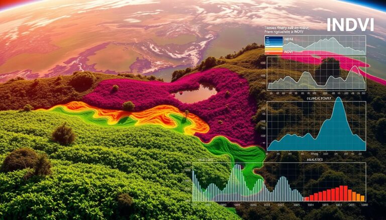
Feature extraction is also vital. It involves finding and measuring specific traits or patterns in the images. For example, analyzing spectral signatures to find out what materials are present or checking plant health with vegetation indices.
- Classification algorithms: These are used to sort pixels into useful categories, like land types, mineral deposits, or water bodies.
- Unmixing and spectral deconvolution: These methods break down complex spectral signatures. They help identify and measure the parts of a single pixel.
- Change detection: By comparing images taken at different times, we can see changes in the landscape, like urban growth, deforestation, or natural resource use.
The choice of data processing and analysis methods depends on the task at hand. By using these techniques, experts in many fields can fully use multispectral and hyperspectral imagery. This leads to better decision-making and new insights.
Cost and Implementation Considerations
Implementing remote sensing technologies like multispectral and hyperspectral imaging comes with costs. You need to think about the initial cost of remote sensing equipment. Also, there’s the ongoing need for training and expertise in data analysis and image processing.
Equipment Investment Analysis
Buying multispectral or hyperspectral imaging sensors is a big expense. Prices can go from tens of thousands to hundreds of thousands of dollars. The cost depends on the number of spectral bands, spatial resolution, and features like UAV integration.
Operational Requirements
- Dedicated storage and computing infrastructure to handle the large volumes of data generated by these imaging systems
- Specialized software and analytical tools for processing and interpreting the complex spectral data
- Regular maintenance and calibration of the imaging equipment to ensure accurate and reliable data collection
Training and Expertise Needs
Using remote sensing technologies, especially multispectral and hyperspectral imaging, needs a lot of training. You need experts in data analysis, image processing, and spectral analysis. They’re key to getting valuable insights from the data.
| Factors | Multispectral Imaging | Hyperspectral Imaging |
|---|---|---|
| Equipment Cost | $50,000 – $100,000 | $100,000 – $500,000 |
| Data Volume | Moderate | Significant |
| Analytical Complexity | Moderate | High |
| Training Requirement | Intermediate | Advanced |
By looking at the costs and what’s needed to implement these technologies, you can make smart choices. This ensures you have the right resources and skills to use multispectral and hyperspectral imaging effectively.
Future Trends and Technological Advancements
The field of remote sensing is growing fast, with new things coming for multispectral and hyperspectral imaging. Improvements in spectral resolution and data analysis will open up new uses and insights in many fields.
One big change is better spectral resolution, letting sensors see more wavelength bands. This means more precise remote sensing and finding even smaller spectral signs. Scientists are also working on new ways to process data, getting more out of the spectral information.
- Increased spectral resolution for more detailed analysis
- Advancements in data analysis and processing techniques
- Emerging applications in fields like precision agriculture, environmental monitoring, and mineral exploration
Experts think we’ll see more use of multispectral and hyperspectral imaging soon. It will help in precision farming, urban planning, and more. Being able to understand spectral data well will help make better decisions and use resources wisely.
“As remote sensing technologies continue to evolve, we’re poised to unlock new levels of insight and understanding across a wide range of critical sectors.”
While there will be challenges, like needing more training and money for new tech, the benefits are huge. By using the latest in remote sensing, spectral resolution, and data analysis, companies can lead the way. They can use multispectral and hyperspectral imaging to change things for the better.
Conclusion
Both multispectral and hyperspectral imaging have unique roles in remote sensing. Multispectral imagery captures data in a few spectral bands. It’s affordable and easy to use, making it great for many fields like agriculture and environmental studies.
Hyperspectral imaging, however, offers more detailed insights with its continuous spectral bands. It’s perfect for tasks like mineral exploration, checking plant health, and monitoring the environment. This tech gives us a deeper look at the Earth’s surface.
The future looks bright for these imaging technologies. We can expect even more advanced tools for remote sensing. Knowing the differences between multispectral and hyperspectral imaging helps professionals make better choices. This knowledge can lead to new discoveries, sustainability, and progress in various industries.

